File:Eijsden-Grenspaal 47 (NL).JPG

本预览的尺寸:800 × 600像素。 其他分辨率:320 × 240像素 | 640 × 480像素 | 1,024 × 768像素 | 1,280 × 960像素 | 2,560 × 1,920像素 | 4,000 × 3,000像素。
原始文件 (4,000 × 3,000像素,文件大小:4.92 MB,MIME类型:image/jpeg)
.JPG?uselang=zh)
.JPG?uselang=zh)
.JPG?action=history&uselang=zh)
.JPG)
摘要
| 描述 |
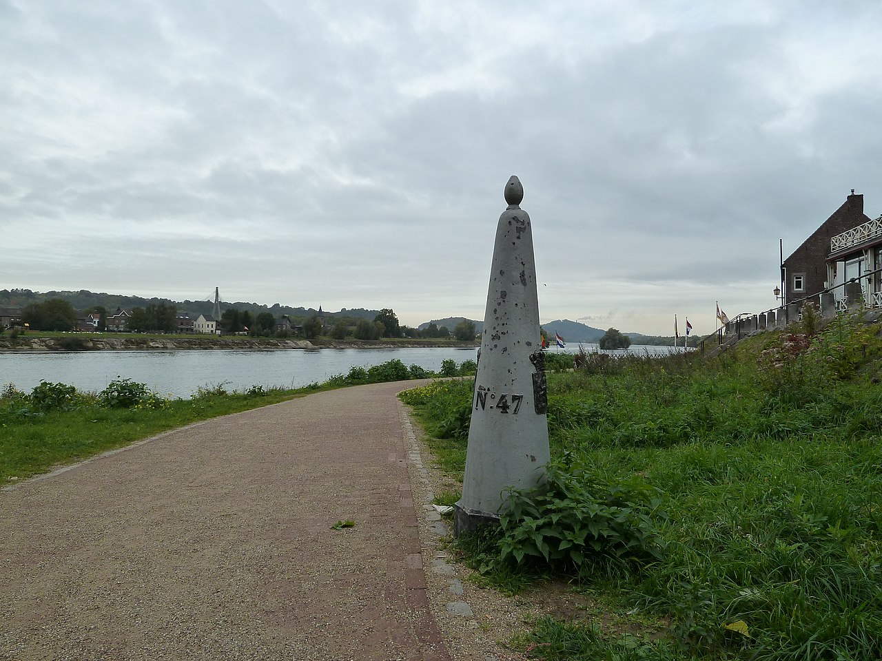
English: Border pole 47, Eijsden, Limburg, the NetherlandsNederland
Nederlands: Grenspaal 47, Eijsden, Limburg, the NetherlandsNederland |
| 日期 | |
| 来源 | 自己的作品 |
| 作者 | Romaine |
| 相机位置 | | 在以下服务上查看本图像和附近其他图像: OpenStreetMap |
|---|
.JPG¶ms=050.776208_N_0005.699500_E_globe:Earth_type:camera_scale:5000_type:landmark_region:NL_&language=zh)
许可协议
| 本作品采用知识共享CC0 1.0 通用公有领域贡献许可协议授权。 | |
| 采用本宣告发表本作品的人,已在法律允许的范围内,通过在全世界放弃其对本作品拥有的著作权法规定的所有权利(包括所有相关权利),将本作品贡献至公有领域。您可以复制、修改、传播和表演本作品,将其用于商业目的,无需要求授权。
|
文件历史
点击某个日期/时间查看对应时刻的文件。
| 日期/时间 | 缩略图 | 大小 | 用户 | 备注 | |
|---|---|---|---|---|---|
| 当前 | 2010年10月22日 (五) 22:02 | | 4,000 × 3,000(4.92 MB) | Romaine | {{Information |Description={{en|1=Border pole 47, Eijsden, Limburg, the NetherlandsNederland}} {{nl|1=Grenspaal 47, Eijsden, Limburg, the NetherlandsNederland}} |Source={{own}} |Author=Romaine |Date=2010-10-22 |Permission= |other_versions |
文件用途
以下页面使用本文件:
全域文件用途
以下其他wiki使用此文件:
- azb.wikipedia.org上的用途
- da.wikipedia.org上的用途
- en.wikipedia.org上的用途
- es.wikipedia.org上的用途
- nds-nl.wikipedia.org上的用途
- nl.wikipedia.org上的用途
- sl.wikipedia.org上的用途
- tr.wikipedia.org上的用途
.JPG)