File:Kara seaGY.PNG
無更高解析度可提供。
Kara_seaGY.PNG (710 × 534 像素,檔案大小:18 KB,MIME 類型:image/png)
摘要
| 描述 |
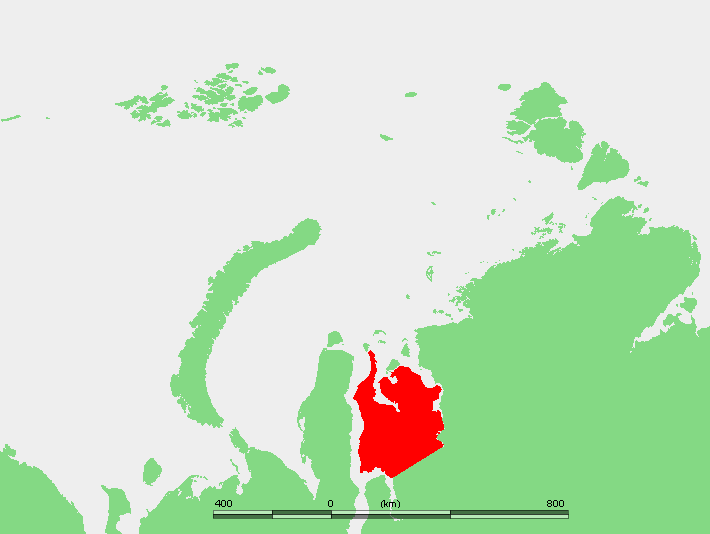
English: Kara Sea
Esperanto: Karaa maro
Русский: Карское море |
| 日期 | 2007年11月5日 (原始上傳日期) |
| 來源 | Transferred from en.wikipedia to Commons. |
| 作者 | 原上傳者為英文維基百科的Mohonu |
授權條款
This image is in the public domain because it came from the site https://www.demis.nl/products/web-map-server/examples/ and was released by the copyright holder. Permission is granted to copy, distribute and/or modify this map since it is based on free of copyright images from: www.demis.nl. See also approval email on de.wp and its clarification.
|
| This work has been released into the public domain by its copyright holder, www.demis.nl. This applies worldwide. 這可能在某些國家不合法,如果是的話: www.demis.nl授予任何人有權利使用此作品於任何用途,除受法律約束外,不受任何限制。
|
原始上傳日誌
The original description page was here. All following user names refer to en.wikipedia.
- 2007-11-05 07:25 Mohonu 710×534×8 (18892 bytes) {{Information |Description= Nordensjelda Islands |Source= own work based on PD map |Date= |Author= edited by M.Minderhoud |Permission= {{PD-Demis}} |other_versions= }} category:Locator maps of islands
檔案歷史
點選日期/時間以檢視該時間的檔案版本。
| 日期/時間 | 縮圖 | 尺寸 | 使用者 | 備註 | |
|---|---|---|---|---|---|
| 目前 | 2008年6月26日 (四) 16:23 | | 710 × 534(18 KB) | Urdangaray | {{Information |Description={{en|''no original description''}} |Source=Transferred from [http://en.wikipedia.org en.wikipedia] |Date=2007-11-05 (original upload date) |Author=Original uploader was Mohonu at [http://en.wikipedia.org en.w |
檔案用途
下列頁面有用到此檔案:
全域檔案使用狀況
以下其他 wiki 使用了這個檔案:
- be.wikipedia.org 的使用狀況
- de.wikipedia.org 的使用狀況
- en.wikipedia.org 的使用狀況
- eo.wikipedia.org 的使用狀況
- es.wikipedia.org 的使用狀況
- et.wikipedia.org 的使用狀況
- fi.wikipedia.org 的使用狀況
- fr.wikipedia.org 的使用狀況
- hr.wikipedia.org 的使用狀況
- hu.wikipedia.org 的使用狀況
- ja.wikipedia.org 的使用狀況
- ka.wikipedia.org 的使用狀況
- ko.wikipedia.org 的使用狀況
- nl.wikipedia.org 的使用狀況
- nn.wikipedia.org 的使用狀況
- no.wikipedia.org 的使用狀況
- pl.wikipedia.org 的使用狀況
- pl.wiktionary.org 的使用狀況
- pt.wikipedia.org 的使用狀況
- uk.wikipedia.org 的使用狀況