File:Luxembourg location map - cantons.svg

此 SVG 檔案的 PNG 預覽的大小:433 × 599 像素。 其他解析度:173 × 240 像素 | 347 × 480 像素 | 555 × 768 像素 | 740 × 1,024 像素 | 1,480 × 2,048 像素 | 746 × 1,032 像素。
原始檔案 (SVG 檔案,表面大小:746 × 1,032 像素,檔案大小:203 KB)
摘要
| 描述 |
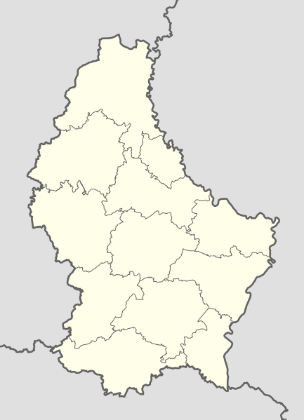
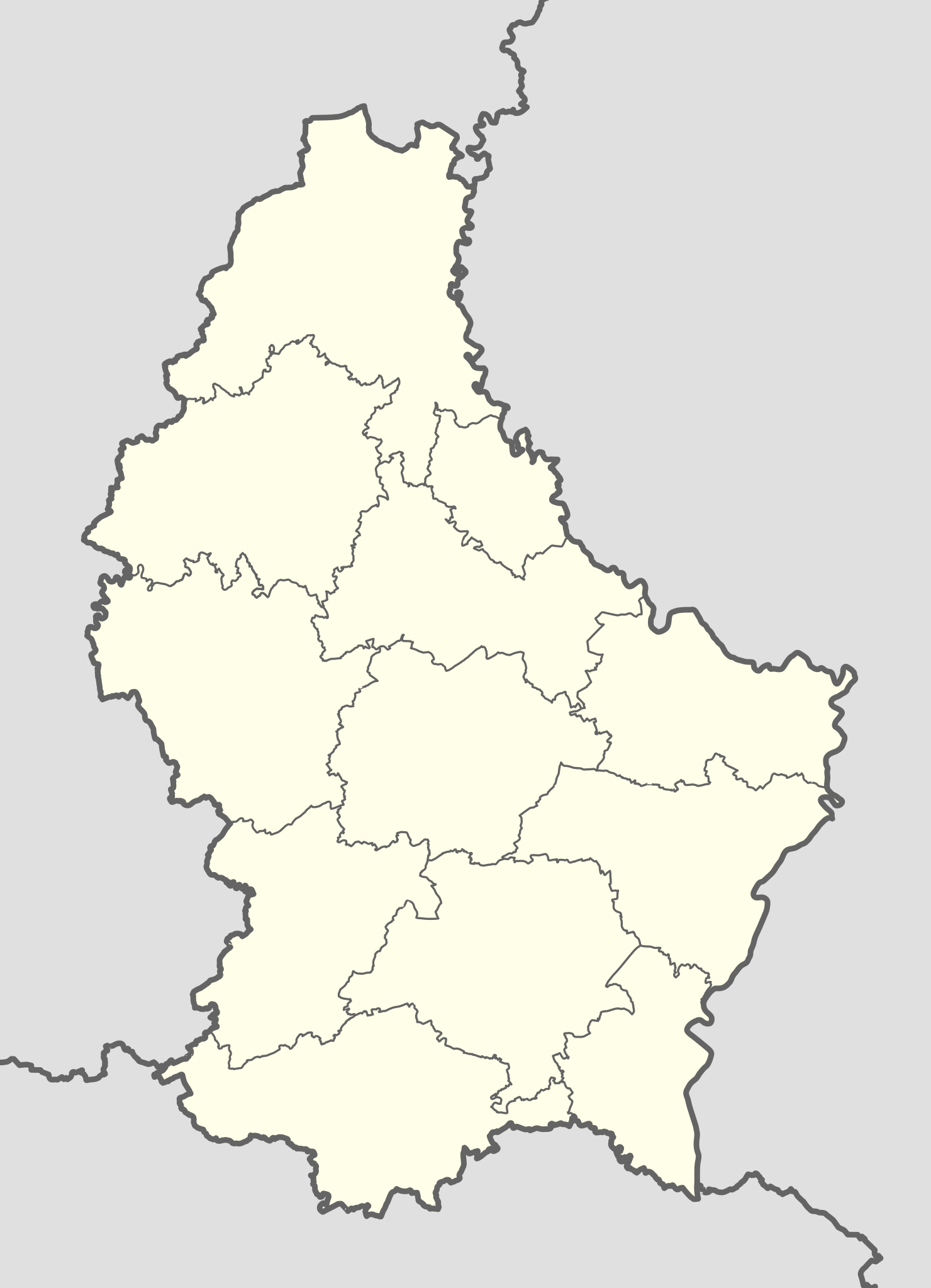
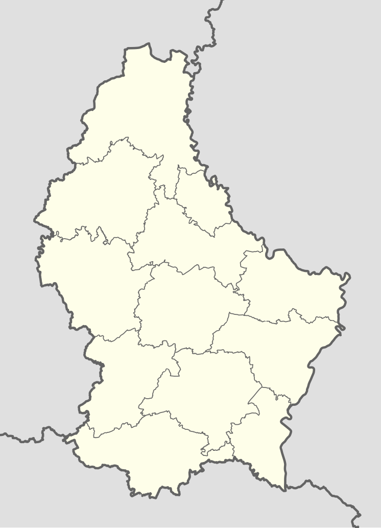
English: Location map of Luxembourg |
| 日期 | |
| 來源 |
本檔案衍生自: Luxembourg adm location map.svg:  |
| 作者 |
|
|
Equirectangular projection, vertical stretching – % | ||
|---|---|---|
| 50.25 | ||
| 5.65 | ←↕→ | 6.6 |
| 49.4 | ||
![]() 訊息 This map is part of a series of location maps with unified standards: SVG as file format, standardised colours and name scheme. The boundaries on these maps always show the de facto situation and do not imply any endorsement or acceptance. In case of changes of the shown area the file is updated. The old version will be uploaded as a new file and thus is still available.
訊息 This map is part of a series of location maps with unified standards: SVG as file format, standardised colours and name scheme. The boundaries on these maps always show the de facto situation and do not imply any endorsement or acceptance. In case of changes of the shown area the file is updated. The old version will be uploaded as a new file and thus is still available.
授權條款
此檔案採用創用CC 姓名標示-相同方式分享 3.0 捷克授權條款。
- 您可以自由:
- 分享 – 複製、發佈和傳播本作品
- 重新修改 – 創作演繹作品
- 惟需遵照下列條件:
- 姓名標示 – 您必須指名出正確的製作者,和提供授權條款的連結,以及表示是否有對內容上做出變更。您可以用任何合理的方式來行動,但不得以任何方式表明授權條款是對您許可或是由您所使用。
- 相同方式分享 – 如果您利用本素材進行再混合、轉換或創作,您必須基於如同原先的相同或兼容的條款,來分布您的貢獻成品。

檔案歷史
點選日期/時間以檢視該時間的檔案版本。
| 日期/時間 | 縮圖 | 尺寸 | 用戶 | 備註 | |
|---|---|---|---|---|---|
| 目前 | 2016年9月15日 (四) 09:17 | | 746 × 1,032(203 KB) | Jann | Smazány řeky |
| 2016年9月14日 (三) 12:36 |  | 746 × 1,032(287 KB) | Jann | {{Information |Description ={{en|1=Location map of Luxembourg }} |Source ={{Derived from|Luxembourg adm location map.svg|display=50}} |Author =*Luxembourg adm location map.svg: [[User:NordNor... |
檔案用途
下列7個頁面有用到此檔案:
全域檔案使用狀況
以下其他 wiki 使用了這個檔案:
- af.wikipedia.org 的使用狀況
- ba.wikipedia.org 的使用狀況
- be-tarask.wikipedia.org 的使用狀況
- be.wikipedia.org 的使用狀況
- Люксембург (горад)
- Шаблон:На карце/Люксембург
- Вільц
- Сір
- Шэнген
- Башараж
- Беванж-сюр-Атэр
- Бекерых
- Бердорф
- Бертранж
- Бетэмбур
- Бетэндорф
- Бех (Люксембург)
- Бецдорф
- Бівер (Люксембург)
- Бісэн
- Бафор (Люксембург)
- Булед
- Бурмеранж
- Буршэйд
- Бус (Люксембург)
- Валь (Люксембург)
- Вальдбіліг
- Вальдбрэдзімю
- Вальферданж
- Вейлер-ла-Тур
- Вейсвампах
- Веленштэйн
- Вінкранж
- Вінселер
- Віхтэн
- Вормельданж
- Віяндэн
- Гарніш
- Гёсдорф
- Грэвенмахер
- Гросбус
- Дальхайм
- Дзікірх
- Дзіпах (Люксембург)
檢視此檔案的更多全域使用狀況。