File:Redbay001.jpg

預覽大小:800 × 513 像素。 其他解析度:320 × 205 像素 | 640 × 411 像素 | 1,024 × 657 像素 | 1,234 × 792 像素。
原始檔案 (1,234 × 792 像素,檔案大小:453 KB,MIME 類型:image/jpeg)
摘要
| 描述 |
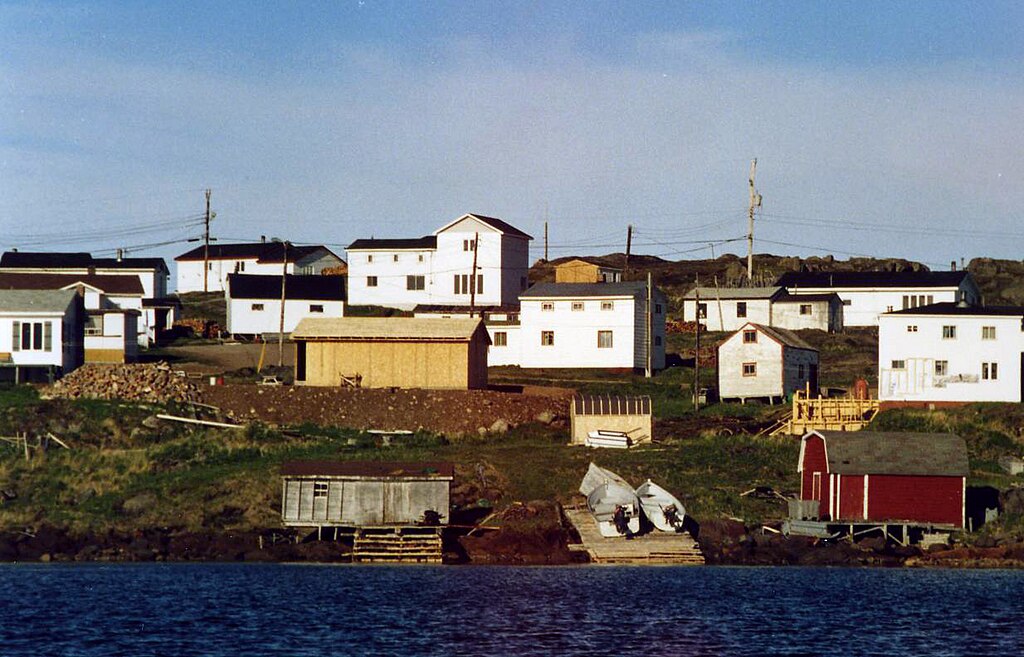
English: The village of Red Bay, Newfoundland and Labrador, as seen from the harbor. # |
| 日期 | 2004年十二月30日 (原始上傳日期) |
| 來源 |
|
| 作者 | Wiegee at en.wikipedia |
| 目標地點 | | 位於此地的本圖片與其他圖片: OpenStreetMap |
|---|
授權條款
| 此作品已由其作者,英文維基百科的Wiegee,釋出至公有領域。此授權條款在全世界均適用。 這可能在某些國家不合法,如果是的話: Wiegee授予任何人有權利使用此作品於任何用途,除受法律約束外,不受任何限制。 |
原始上傳日誌
The original description page was here. All following user names refer to en.wikipedia.
Upload date | User | Bytes | Dimensions | Comment
- 2004-12-30 06:12 (UTC) | Wiegee | 117431 (bytes) | 1234×792 | The village of Red Bay, ,Newfoundland and Labrador, as seen from the harbor. # {{PD-self}}
檔案歷史
點選日期/時間以檢視該時間的檔案版本。
| 日期/時間 | 縮圖 | 尺寸 | 用戶 | 備註 | |
|---|---|---|---|---|---|
| 目前 | 2016年3月2日 (三) 01:34 | | 1,234 × 792(453 KB) | DavidArthur | Colour |
| 2012年1月2日 (一) 10:50 |  | 1,234 × 792(115 KB) | SreeBot | (Original text) : The village of Red Bay, ,Newfoundland and Labrador, as seen from the harbor. # {{PD-self}} |
檔案用途
全域檔案使用狀況
以下其他 wiki 使用了這個檔案:
- ar.wikipedia.org 的使用狀況
- ca.wikipedia.org 的使用狀況
- ceb.wikipedia.org 的使用狀況
- cs.wikipedia.org 的使用狀況
- de.wikivoyage.org 的使用狀況
- en.wikipedia.org 的使用狀況
- en.wikivoyage.org 的使用狀況
- es.wikipedia.org 的使用狀況
- es.wikivoyage.org 的使用狀況
- eu.wikipedia.org 的使用狀況
- he.wikipedia.org 的使用狀況
- he.wikivoyage.org 的使用狀況
- hr.wikipedia.org 的使用狀況
- it.wikipedia.org 的使用狀況
- ka.wikipedia.org 的使用狀況
- ko.wikipedia.org 的使用狀況
- lt.wikipedia.org 的使用狀況
- mai.wikipedia.org 的使用狀況
- ml.wikipedia.org 的使用狀況
- mt.wikipedia.org 的使用狀況
- ne.wikipedia.org 的使用狀況
- nl.wikipedia.org 的使用狀況
- nn.wikipedia.org 的使用狀況
- ru.wikipedia.org 的使用狀況
- simple.wikipedia.org 的使用狀況
- sv.wikipedia.org 的使用狀況
- uk.wikipedia.org 的使用狀況
- vi.wikipedia.org 的使用狀況
- www.wikidata.org 的使用狀況