File:Lords south stands.jpg
預覽大小:800 × 600 像素。 其他解析度:320 × 240 像素 | 640 × 480 像素 | 1,024 × 768 像素 | 1,280 × 960 像素 | 2,272 × 1,704 像素。
原始檔案 (2,272 × 1,704 像素,檔案大小:867 KB,MIME 類型:image/jpeg)
摘要
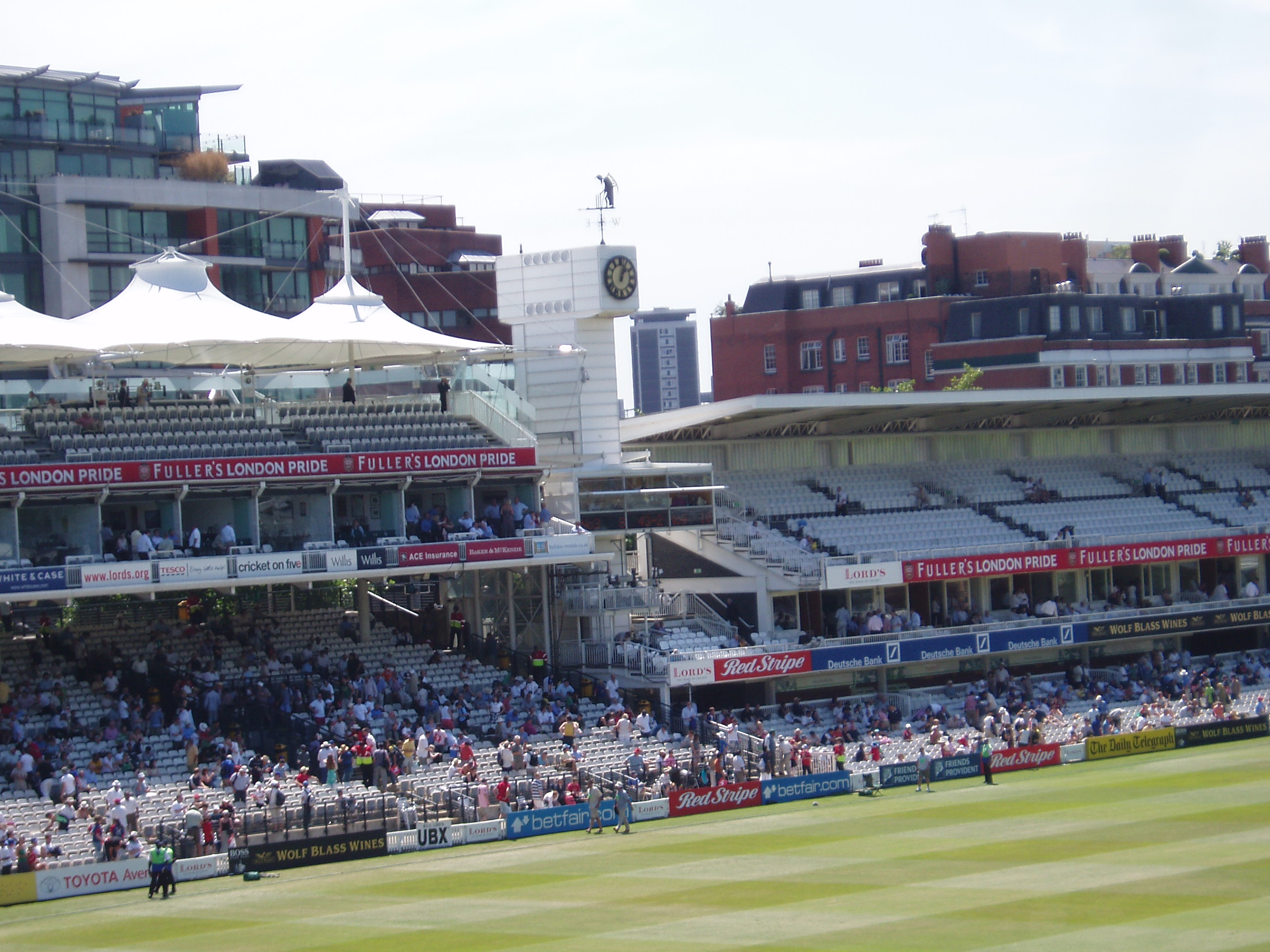
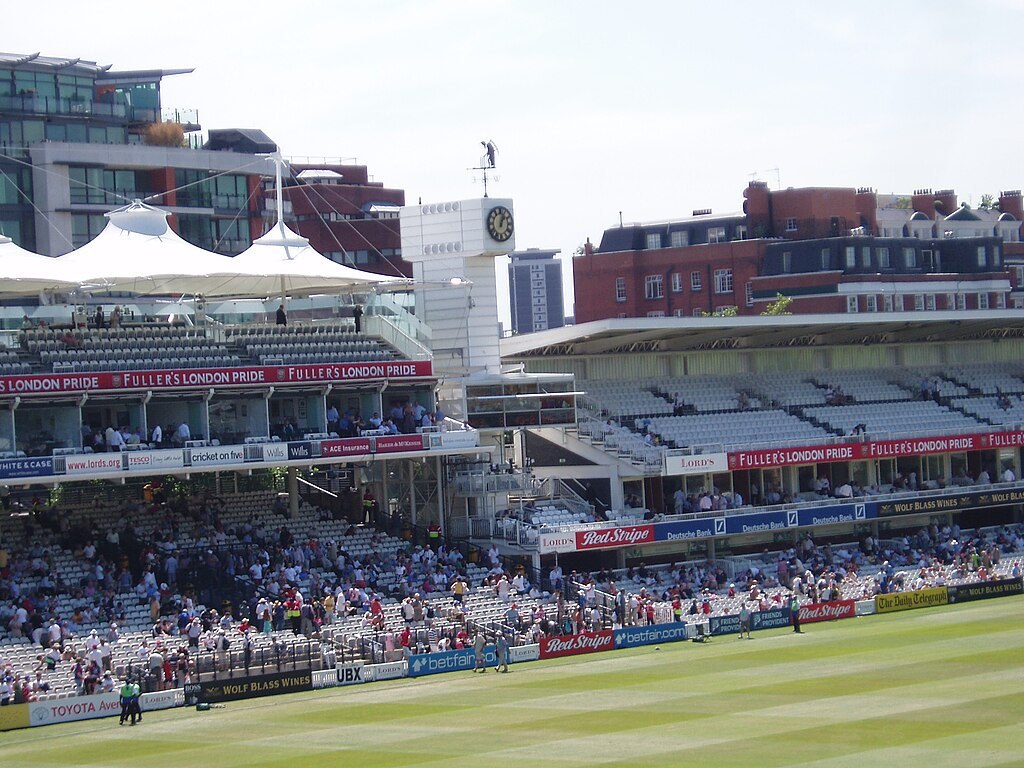
| 描述 | The stands towards the southern end of Lord's Cricket Ground - the Mound Stand on the left and the Tavern Stand on the right, with the Father Time weather vane in between. |
| 日期 | |
| 來源 | https://www.flickr.com/photos/burge5000/246338593/ |
| 作者 | burge5000 / Peter Burgess |
| 授權許可 (重用此檔案) |
Creative Commons Attribution license |
| 拍攝地點 | | 位於此地的本圖片與其他圖片: OpenStreetMap |
|---|
授權條款
此檔案採用創用CC 姓名標示 2.0 通用版授權條款。
- 您可以自由:
- 分享 – 複製、發佈和傳播本作品
- 重新修改 – 創作演繹作品
- 惟需遵照下列條件:
- 姓名標示 – 您必須指名出正確的製作者,和提供授權條款的連結,以及表示是否有對內容上做出變更。您可以用任何合理的方式來行動,但不得以任何方式表明授權條款是對您許可或是由您所使用。
| 這幅圖片原始出處為Flickr的https://www.flickr.com/photos/burge5000/246338593/ ,作者為burge5000 。經機器人FlickreviewR在2007年1月2日審查後確定為採用cc-by-2.0的協議授權使用。 |
檔案歷史
點選日期/時間以檢視該時間的檔案版本。
| 日期/時間 | 縮圖 | 尺寸 | 使用者 | 備註 | |
|---|---|---|---|---|---|
| 目前 | 2006年12月31日 (日) 17:09 | | 2,272 × 1,704(867 KB) | Cenobite | {{Information |Description= The south stands at Lord's Cricket Ground, showing the public area on the left and the members-only area on the right. |Source= http://www.flickr.com/photos/burge5000/246338593/ |Date= 2006-09-18 |Author= burge5000 / Peter Burg |
檔案用途
下列頁面有用到此檔案:
全域檔案使用狀況
以下其他 wiki 使用了這個檔案:
- da.wikipedia.org 的使用狀況
- en.wikipedia.org 的使用狀況
- eo.wikipedia.org 的使用狀況
- fa.wikipedia.org 的使用狀況
- fr.wikipedia.org 的使用狀況
- he.wikipedia.org 的使用狀況
- hi.wikipedia.org 的使用狀況
- kn.wikipedia.org 的使用狀況
- te.wikipedia.org 的使用狀況