File:1698PhilipLeaPANJmap.jpg
此为最大尺寸。
1698PhilipLeaPANJmap.jpg (723 × 600像素,文件大小:282 KB,MIME类型:image/jpeg)
摘要
| 描述 |
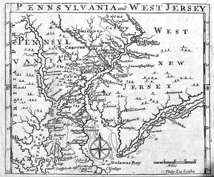
English: Map of Pennsylvania and "West New Jersey" published in 1698 by Philip Lea in London. |
| 日期 | |
| 来源 |
本檔案是由Sreejithk2000使用CommonsHelper,從en.wikipedia轉移到維基共享資源。 |
| 作者 | Philip Lea |
许可协议
|
本作品在其来源国以及其他著作权期限是作者逝世后100年或以下的国家和地区属于公有领域。 | |
| 本文件已被确认为免除已知的著作权法限制(包括所有相关权利)。 | |
原始上传日志
原始描述頁面位於這裡。下列使用者名稱均來自en.wikipedia。
- 2007-12-02 16:11 Smallbones 723×600× (288353 bytes) Map of Pennsylvania and "West New Jersey" published in 1698 by Philp Lea in London. From Princeton Library website
文件历史
点击某个日期/时间查看对应时刻的文件。
| 日期/时间 | 缩略图 | 大小 | 用户 | 备注 | |
|---|---|---|---|---|---|
| 当前 | 2010年5月28日 (五) 06:06 | | 723 × 600(282 KB) | File Upload Bot (Magnus Manske) | {{BotMoveToCommons|en.wikipedia|year={{subst:CURRENTYEAR}}|month={{subst:CURRENTMONTHNAME}}|day={{subst:CURRENTDAY}}}} {{Information |Description={{en|Map of Pennsylvania and "West New Jersey" published in 1698 by Philp Lea in London.}} |Source=Transferr |
文件用途
以下页面使用本文件:
全域文件用途
以下其他wiki使用此文件:
- azb.wikipedia.org上的用途
- en.wikipedia.org上的用途
- hu.wikipedia.org上的用途
- no.wikipedia.org上的用途