File:Armenia location map.svg

此SVG文件的PNG预览的大小:585 × 600像素。 其他分辨率:234 × 240像素 | 468 × 480像素 | 749 × 768像素 | 999 × 1,024像素 | 1,998 × 2,048像素 | 1,169 × 1,198像素。
原始文件 (SVG文件,尺寸为1,169 × 1,198像素,文件大小:77 KB)

|
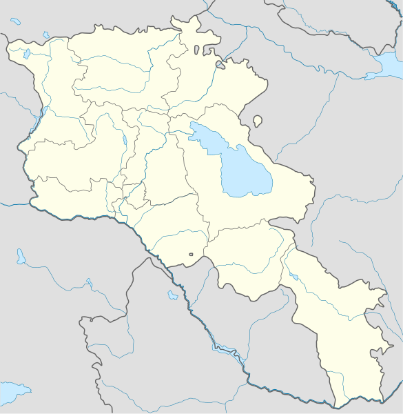
本地图上显示的边界是实际(de facto)情况。这只是对主题多种观点中的一种(参见COM:NPOV)。 |
摘要
| 描述 |
Deutsch: Positionskarte von Armenien. Quadratische Plattkarte, N-S-Streckung 130 %. Geographische Begrenzung der Karte:
English: Location map of Armenia. Equirectangular projection, N/S stretching 130 %. Geographic limits of the map:
Français : Carte administrative muette de l'Arménie. Projection cylindrique équidistante, avec étirement nord-sud de 130%.
|
||
| 日期 | |||
| 来源 |
自己的作品, using
|
||
| 作者 | NordNordWest | ||
| 其他版本 | 此文件衍生的作品: Am-map he.svg | ||
| SVG开发 | |||
| Graphic Lab |
|

许可协议
我,本作品著作权人,特此采用以下许可协议发表本作品:
本文件采用知识共享署名-相同方式共享 3.0 未本地化版本许可协议授权。
- 您可以自由地:
- 共享 – 复制、发行并传播本作品
- 修改 – 改编作品
- 惟须遵守下列条件:
- 署名 – 您必须对作品进行署名,提供授权条款的链接,并说明是否对原始内容进行了更改。您可以用任何合理的方式来署名,但不得以任何方式表明许可人认可您或您的使用。
- 相同方式共享 – 如果您再混合、转换或者基于本作品进行创作,您必须以与原先许可协议相同或相兼容的许可协议分发您贡献的作品。
文件历史
点击某个日期/时间查看对应时刻的文件。
| 日期/时间 | 缩略图 | 大小 | 用户 | 备注 | |
|---|---|---|---|---|---|
| 当前 | 2022年1月22日 (六) 23:01 | | 1,169 × 1,198(77 KB) | Geralt Riv | fix the svg error |
| 2021年11月19日 (五) 05:45 |  | 1,169 × 1,198(209 KB) | A2D2 | The de facto border changed after the Second Nagorno-Karabakh War in 2020. | |
| 2014年3月3日 (一) 14:38 |  | 1,169 × 1,198(154 KB) | NordNordWest | Reverted to version as of 17:18, 18 January 2014; please find your way to the discussion page first before reverting anything | |
| 2014年3月3日 (一) 10:18 |  | 1,169 × 1,198(209 KB) | A2D2 | Reverted to version as of 19:55, 5 April 2012 | |
| 2014年1月18日 (六) 17:18 |  | 1,169 × 1,198(154 KB) | NordNordWest | + de facto border | |
| 2012年4月5日 (四) 19:55 |  | 1,169 × 1,198(209 KB) | Sémhur | ...with the former size | |
| 2012年4月5日 (四) 19:47 |  | 1,000 × 1,024(208 KB) | Sémhur | Adding few rivers : Dzoraget, Aghstafa, Azat, Vedi and Megri | |
| 2011年1月15日 (六) 11:52 |  | 1,169 × 1,198(271 KB) | NordNordWest | according to http://commons.wikimedia.org/w/index.php?title=User_talk%3AVarmin&action=historysubmit&diff=48288330&oldid=40674250 | |
| 2011年1月14日 (五) 17:54 |  | 1,160 × 1,190(286 KB) | Varmin | concordance avec les autres cartes vectorisée. | |
| 2010年8月28日 (六) 16:58 |  | 1,169 × 1,198(271 KB) | NordNordWest | Barxudarlı, Yuxarı Əskipara and Karki stay officially non-Armenian (see en:List of enclaves and exclaves), no changes without discussion |
文件用途
没有页面链接到本图像。
全域文件用途
以下其他wiki使用此文件:
- av.wikipedia.org上的用途
- az.wikisource.org上的用途
- ba.wikipedia.org上的用途
- bn.wikipedia.org上的用途
- bs.wikipedia.org上的用途
- ckb.wikipedia.org上的用途
- de.wikipedia.org上的用途
- de.wikivoyage.org上的用途
- en.wikipedia.org上的用途
- eo.wikipedia.org上的用途
- es.wikipedia.org上的用途
- fa.wikipedia.org上的用途
- fr.wikipedia.org上的用途
- Matenadaran
- Stade Hrazdan
- Galerie nationale d'Arménie
- Stade Républicain Vazgen-Sargsian
- Stade Mika
- Stade Alashkert
- Stade Kasakhi Marzik
- Mère Arménie
- Université d'État d'ingénierie d'Arménie
- Projet:Cartographie/Cartes standards/Pays
- Mausolée d'Aghdsk
- Musée d'histoire de l'Arménie
- Erablur
- Université française en Arménie
- Wikipédia:Atelier graphique/Cartes/Archives/avril 2012
- Cimetière de Noradouz
- Musée Erebouni
- Université américaine d'Arménie
- Cinéma Moscou
- Temple de Garni
- Maison-musée Vazgen-Sargsian
- Module:Carte/données/arménie
- Musée historique de Sisian
- Stade Urartu
- Stade de l'Académie de football d'Erevan
- gv.wikipedia.org上的用途
- hy.wikipedia.org上的用途
- incubator.wikimedia.org上的用途
查看本文件的更多全域用途。