File:British Isles Isle of Man.svg

此SVG文件的PNG预览的大小:343 × 600像素。 其他分辨率:137 × 240像素 | 274 × 480像素 | 439 × 768像素 | 586 × 1,024像素 | 1,171 × 2,048像素 | 675 × 1,180像素。
原始文件 (SVG文件,尺寸为675 × 1,180像素,文件大小:137 KB)
文件历史
点击某个日期/时间查看对应时刻的文件。
| 日期/时间 | 缩略图 | 大小 | 用户 | 备注 | |
|---|---|---|---|---|---|
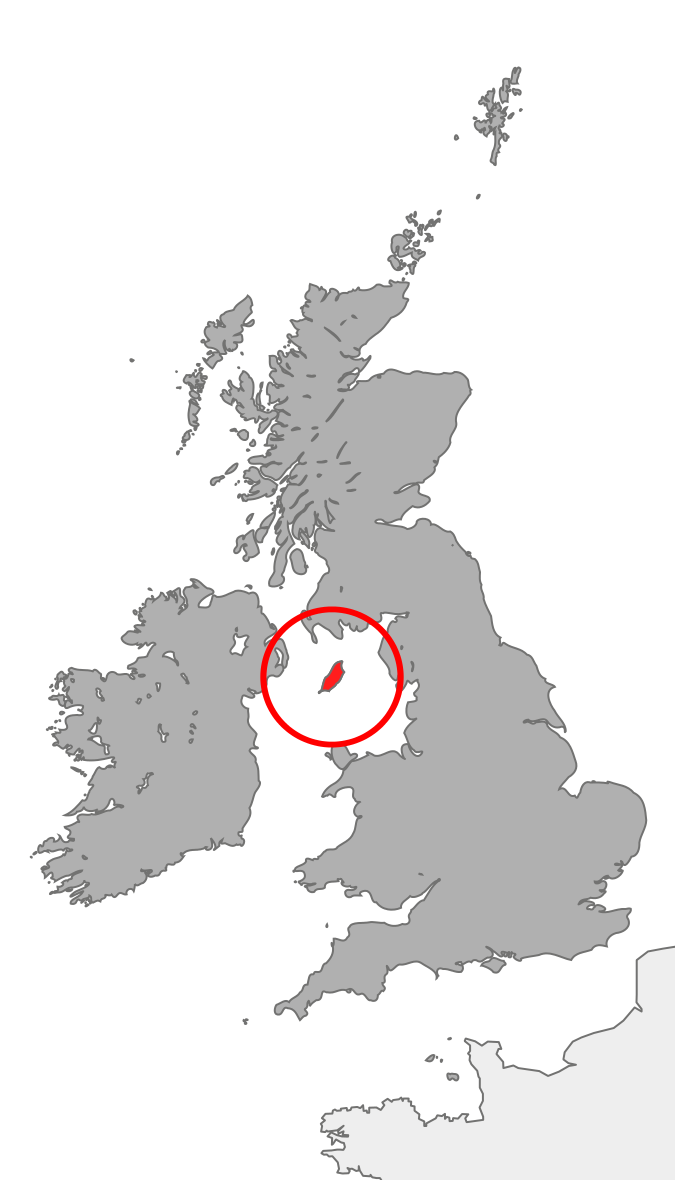
| 当前 | 2007年10月20日 (六) 21:37 | | 675 × 1,180(137 KB) | Cnbrb | == Summary == {{Information |Description=map showing the Isle of Man in relation to Great Britain and Ireland |Source=self-made |Date=2007-20-09 |Author= Cnbrb }} Category:Locator maps of countries of the United Kingdom [[Category:Maps |
文件用途
以下页面使用本文件:
全域文件用途
以下其他wiki使用此文件:
- anp.wikipedia.org上的用途
- br.wikipedia.org上的用途
- bs.wikipedia.org上的用途
- cs.wikipedia.org上的用途
- de.wikipedia.org上的用途
- en.wikipedia.org上的用途
- en.wiktionary.org上的用途
- es.wikipedia.org上的用途
- fi.wikipedia.org上的用途
- fr.wiktionary.org上的用途
- gv.wikipedia.org上的用途
- hi.wikipedia.org上的用途
- hu.wikipedia.org上的用途
- id.wikipedia.org上的用途
- incubator.wikimedia.org上的用途
- it.wikipedia.org上的用途
- ja.wikipedia.org上的用途
- ja.wikibooks.org上的用途
- ka.wikipedia.org上的用途
- mk.wikipedia.org上的用途
- nds-nl.wikipedia.org上的用途
- pl.wiktionary.org上的用途
- ro.wikipedia.org上的用途
- ru.wikipedia.org上的用途
- sl.wikipedia.org上的用途
- ta.wikipedia.org上的用途
- tl.wikipedia.org上的用途
- tr.wikipedia.org上的用途
- uk.wikipedia.org上的用途
- vls.wikipedia.org上的用途
- xmf.wikipedia.org上的用途