File:Cape Colony map.png
本预览的尺寸:725 × 600像素。 其他分辨率:290 × 240像素 | 581 × 480像素 | 1,000 × 827像素。
原始文件 (1,000 × 827像素,文件大小:49 KB,MIME类型:image/png)

|
File:Map of the provinces of South Africa 1976-1994 with the Cape highlighted.svg是此文件的矢量版本。 应当将此点阵图片替换为该文件。
File:Cape Colony map.png → File:Map of the provinces of South Africa 1976-1994 with the Cape highlighted.svg
更多信息请参阅Help:SVG/zh。 |
 |
摘要
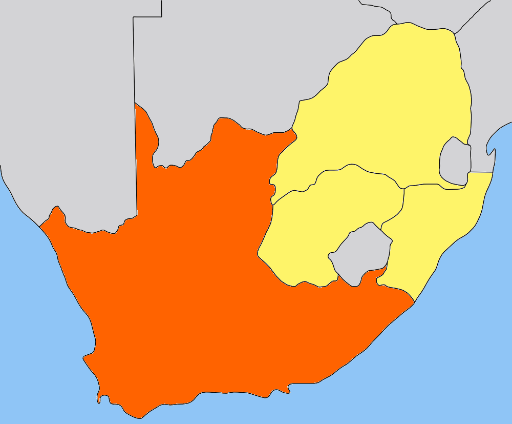
| 描述 | Map of the Cape Colony/Cape Province in South Africa. Traced by hand in Inkscape from older version of this image, recoloured in the GIMP. |
| 日期 | |
| 来源 | Own work, based on low-res map made by Messhermit and uploaded by Valentinian (see older versions of this file) |
| 作者 | Self |
| 授权 (二次使用本文件) |
CC-BY-SA-2.5 |
| 其他版本 | Other province maps based on the same work: Cape Colony, Transvaal, Natal Colony, Orange Free State |
参看   
|
许可协议
本文件采用知识共享署名-相同方式共享 2.5 通用许可协议授权。
- 您可以自由地:
- 共享 – 复制、发行并传播本作品
- 修改 – 改编作品
- 惟须遵守下列条件:
- 署名 – 您必须对作品进行署名,提供授权条款的链接,并说明是否对原始内容进行了更改。您可以用任何合理的方式来署名,但不得以任何方式表明许可人认可您或您的使用。
- 相同方式共享 – 如果您再混合、转换或者基于本作品进行创作,您必须以与原先许可协议相同或相兼容的许可协议分发您贡献的作品。
文件历史
点击某个日期/时间查看对应时刻的文件。
| 日期/时间 | 缩略图 | 大小 | 用户 | 备注 | |
|---|---|---|---|---|---|
| 当前 | 2006年5月9日 (二) 20:01 | | 1,000 × 827(49 KB) | Dewet | {{Information| |Description=Map of the Cape Colony; traced by hand in Inkscape, recoloured in the GIMP. |Source=Own work |Date=2006-05-09 |Author=Self, based on [[:image:Cape_Colony_map.png|Cape Colony map |
| 2005年7月25日 (一) 15:05 |  | 305 × 252(41 KB) | Valentinian | Map of the former Cape Colony in South Africa (before 1910.) {{PD-self}} Based on the map of Transvaal made by user:Messhermit |
文件用途
以下2个页面使用本文件:
全域文件用途
以下其他wiki使用此文件:
- ar.wikipedia.org上的用途
- be.wikipedia.org上的用途
- bg.wikipedia.org上的用途
- da.wikipedia.org上的用途
- de.wikipedia.org上的用途
- el.wikipedia.org上的用途
- en.wikipedia.org上的用途
- eo.wikipedia.org上的用途
- frr.wikipedia.org上的用途
- fr.wikipedia.org上的用途
- hu.wikipedia.org上的用途
- it.wikipedia.org上的用途
- ka.wikipedia.org上的用途
- lt.wikipedia.org上的用途
- nn.wikipedia.org上的用途
- no.wikipedia.org上的用途
- Portal:Afrika/Utvalgt artikkel
- Kappkolonien
- Kapp-provinsen
- Portal:Afrika/Utvalgt artikkel/Arkiv
- Wikipedia:Ukens danske artikkel/2010
- Portal:Afrika/Utvalgt artikkel/juli
- Portal:Sør-Afrika
- Portal:Sør-Afrika/Utvalgt artikkel
- Portal:Sør-Afrika/Utvalgt artikkel/Arkiv
- Portal:Sør-Afrika/Utvalgt artikkel/juni
- Wikipedia:Ukens danske artikkel/Uke 29, 2010
- pl.wikipedia.org上的用途
- pt.wikipedia.org上的用途
- ru.wikipedia.org上的用途
- simple.wikipedia.org上的用途
- sw.wikipedia.org上的用途