File:Census Bureau map of Morristown, New Jersey.png
此为最大尺寸。
Census_Bureau_map_of_Morristown,_New_Jersey.png (575 × 425像素,文件大小:72 KB,MIME类型:image/png)
摘要
| 描述 |
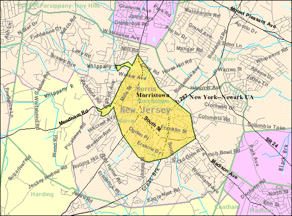
English: Census Bureau map of Morristown |
| 来源 | United States Census Bureau |
| 作者 | United States Census Bureau |
许可协议
This image or file is a work of a United States Census Bureau employee, taken or made as part of that person's official duties. As a work of the U.S. federal government, the image is in the public domain.
|
 |
原始上传日志
本檔案是由Quadell使用CommonsHelper,從en.wikipedia轉移到維基共享資源。
原始描述頁面位於這裡。下列使用者名稱均來自en.wikipedia。
- 2008-06-01 22:28 Alansohn 575×425× (73257 bytes) {{Information |Description=Census Bureau map of [[Morristown, New Jersey]] |Source=[[United States Census Bureau]] |Date= |Author=[[United States Census Bureau]] |Permission= |other_versions= }}
原始上传日志
| 日期/时间 | 大小 | 用户 | 备注 |
|---|---|---|---|
| 2013年7月11日, 18:27:15 | 575 × 425 (73257 bytes) | File Upload Bot (Magnus Manske) (留言 · 贡献) | Transfered from en.wikipedia by [[User:Quadell]] using CommonsHelper |
文件历史
点击某个日期/时间查看对应时刻的文件。
| 日期/时间 | 缩略图 | 大小 | 用户 | 备注 | |
|---|---|---|---|---|---|
| 当前 | 2014年11月20日 (四) 14:56 | | 575 × 425(72 KB) | GifTagger | Bot: Converting file to superior PNG file. (Source: Census_Bureau_map_of_Morristown,_New_Jersey.gif). This GIF was problematic due to non-greyscale color table. |
文件用途
以下页面使用本文件:
全域文件用途
以下其他wiki使用此文件:
- azb.wikipedia.org上的用途
- en.wikipedia.org上的用途
- fa.wikipedia.org上的用途
- ja.wikipedia.org上的用途
- mt.wikipedia.org上的用途
- sh.wikipedia.org上的用途
- simple.wikipedia.org上的用途