File:Coney Island beach aerial view.jpg

本预览的尺寸:600 × 600像素。 其他分辨率:240 × 240像素 | 480 × 480像素 | 769 × 768像素 | 1,025 × 1,024像素 | 1,500 × 1,499像素。
原始文件 (1,500 × 1,499像素,文件大小:862 KB,MIME类型:image/jpeg)
| 描述 |
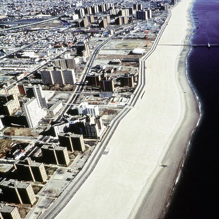
English: Aerial view of the oceanfront of Coney Island, Brooklyn, New York, USA. The photograph appears to be taken from the vicinity of West 32nd Street, looking east. The view extends a short distance beyond Asser Levy Park. |
|||
| 日期 | (Caution: Dates given on the Corps of Engineers website are often incorrect.) | |||
| 来源 |
U.S. Army Corps of Engineers Digital Visual Library Image page Image description page Digital Visual Library home page |
|||
| 作者 | Peter Shugert, U.S. Army Corps of Engineers | |||
| 授权 (二次使用本文件) |
|
|||
| 图中地点 | Brooklyn, New York, USA |
| 物体位置 | | 在以下服务上查看本图像和附近其他图像: OpenStreetMap |
|---|
文件历史
点击某个日期/时间查看对应时刻的文件。
| 日期/时间 | 缩略图 | 大小 | 用户 | 备注 | |
|---|---|---|---|---|---|
| 当前 | 2007年4月8日 (日) 23:00 | | 1,500 × 1,499(862 KB) | DanMS | {{Information | Description = {{en|Aerial view of the oceanfront of Coney Island, Brooklyn, New York, USA. The photograph appears to be taken from the vicinity of West 32nd Street, looking east. The view extends a short distance beyond Asser Levy Park. |
文件用途
以下页面使用本文件:
全域文件用途
以下其他wiki使用此文件:
- af.wikipedia.org上的用途
- ar.wikipedia.org上的用途
- da.wikipedia.org上的用途
- et.wikipedia.org上的用途
- he.wikipedia.org上的用途
- ja.wikipedia.org上的用途
- nl.wikipedia.org上的用途
- sv.wikipedia.org上的用途