File:Cotswolds AONB locator map.svg

此SVG文件的PNG预览的大小:494 × 600像素。 其他分辨率:198 × 240像素 | 395 × 480像素 | 633 × 768像素 | 844 × 1,024像素 | 1,687 × 2,048像素 | 1,648 × 2,000像素。
原始文件 (SVG文件,尺寸为1,648 × 2,000像素,文件大小:1.08 MB)
| 描述 |
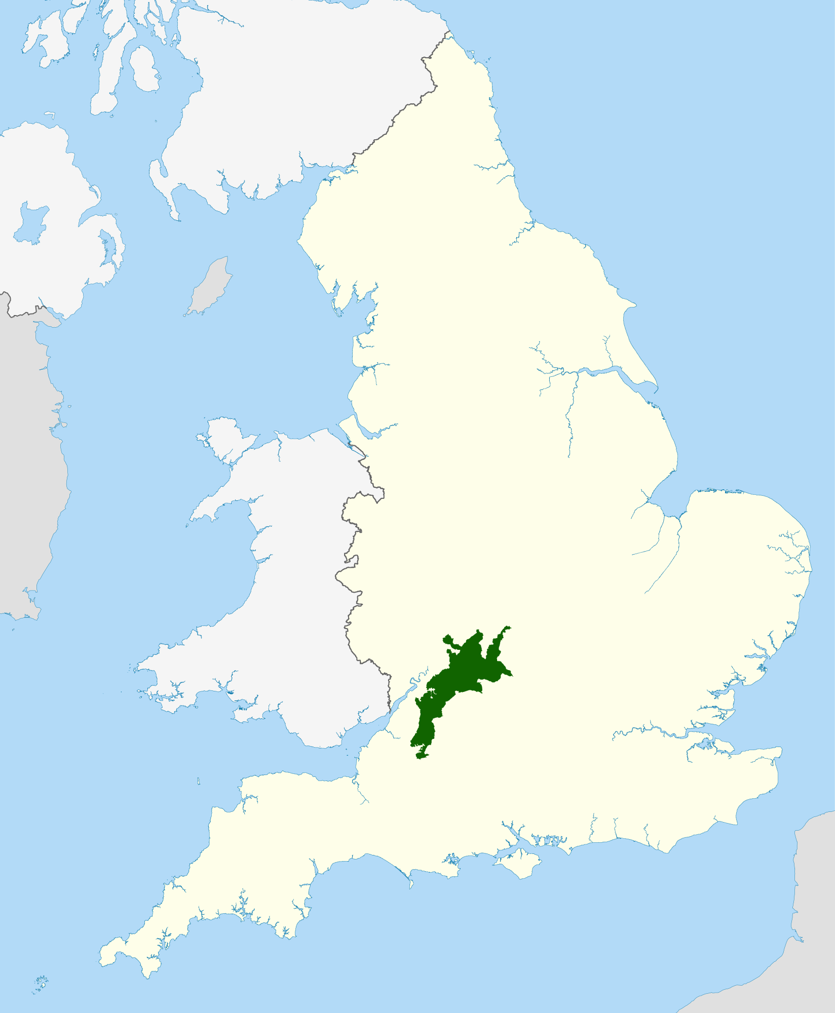
Locator map of the Cotswolds range of hills in central and western England.
|
| 日期 | |
| 来源 |
National Geospatial-Intelligence Agency
|
| 作者 | Nilfanion, using Ordnance Survey and Natural England data |
| 授权 (二次使用本文件) |
本文件采用知识共享署名-相同方式共享 3.0 未本地化版本许可协议授权。 署名: © Natural England copyright 2012. Contains Ordnance Survey data © Crown copyright and database right 2012
|
文件历史
点击某个日期/时间查看对应时刻的文件。
| 日期/时间 | 缩略图 | 大小 | 用户 | 备注 | |
|---|---|---|---|---|---|
| 当前 | 2012年4月15日 (日) 22:15 | | 1,648 × 2,000(1.08 MB) | Nilfanion | {{Information |Description=Locator map of the Cotswolds Area of Outstanding Natural Beauty within England |Source=Ordnance Survey [https://www.ordnancesurvey.co.uk/opendatad... |
文件用途
以下页面使用本文件:
全域文件用途
以下其他wiki使用此文件:
- cs.wikipedia.org上的用途
- de.wikipedia.org上的用途
- de.wikivoyage.org上的用途
- en.wikipedia.org上的用途
- eo.wikipedia.org上的用途
- fi.wikipedia.org上的用途
- fr.wikipedia.org上的用途
- he.wikipedia.org上的用途
- ja.wikipedia.org上的用途
- ko.wikipedia.org上的用途
- ml.wikipedia.org上的用途
- ms.wikipedia.org上的用途
- nl.wikipedia.org上的用途
- vls.wikipedia.org上的用途