File:Croatia - Vis.PNG
此为最大尺寸。
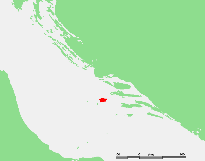
Croatia_-_Vis.PNG (693 × 547像素,文件大小:15 KB,MIME类型:image/png)
| 描述 | Island of Croatia - Croatia - Vis.PNG | ||||
| 来源 | own work based on PD map | ||||
| 作者 | edited by M.Minderhoud | ||||
| 授权 (二次使用本文件) |
|
文件历史
点击某个日期/时间查看对应时刻的文件。
| 日期/时间 | 缩略图 | 大小 | 用户 | 备注 | |
|---|---|---|---|---|---|
| 当前 | 2006年8月9日 (三) 11:21 | | 693 × 547(15 KB) | Michiel1972 | {{Information |Description=Island of Croatia - {{subst:PAGENAME}} |Source= own work based on PD map |Date= |Author= edited by M.Minderhoud |Permission= {{PD-Demis}} |other_versions= }} [[category:Locator maps of islands |
文件用途
以下页面使用本文件:
全域文件用途
以下其他wiki使用此文件:
- ar.wikipedia.org上的用途
- ba.wikipedia.org上的用途
- br.wikipedia.org上的用途
- cs.wikipedia.org上的用途
- cs.wiktionary.org上的用途
- da.wikipedia.org上的用途
- de.wikipedia.org上的用途
- el.wikipedia.org上的用途
- eo.wikipedia.org上的用途
- es.wikipedia.org上的用途
- fa.wikipedia.org上的用途
- id.wikipedia.org上的用途
- it.wikipedia.org上的用途
- ja.wikipedia.org上的用途
- ko.wikipedia.org上的用途
- la.wikipedia.org上的用途
- lmo.wikipedia.org上的用途
- mk.wikipedia.org上的用途
- nl.wikipedia.org上的用途
- nn.wikipedia.org上的用途
- no.wikipedia.org上的用途
- pl.wikipedia.org上的用途
- pl.wikivoyage.org上的用途
- pt.wikipedia.org上的用途
- ro.wikipedia.org上的用途
- ru.wikipedia.org上的用途
- sh.wikipedia.org上的用途
- sl.wikipedia.org上的用途
- sq.wikipedia.org上的用途
- sv.wikipedia.org上的用途
- uk.wikipedia.org上的用途