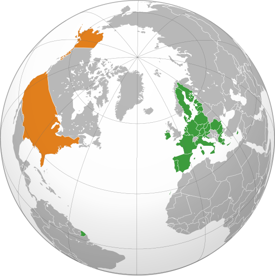
File:European Union United States Locator.svg

此SVG文件的PNG预览的大小:550 × 550像素。 其他分辨率:240 × 240像素 | 480 × 480像素 | 768 × 768像素 | 1,024 × 1,024像素 | 2,048 × 2,048像素。
原始文件 (SVG文件,尺寸为550 × 550像素,文件大小:678 KB)
文件历史
点击某个日期/时间查看对应时刻的文件。
| 日期/时间 | 缩略图 | 大小 | 用户 | 备注 | |
|---|---|---|---|---|---|
| 当前 | 2022年1月31日 (一) 23:10 | | 550 × 550(678 KB) | TorreAzzurro | Added Cyprus and French Guiana |
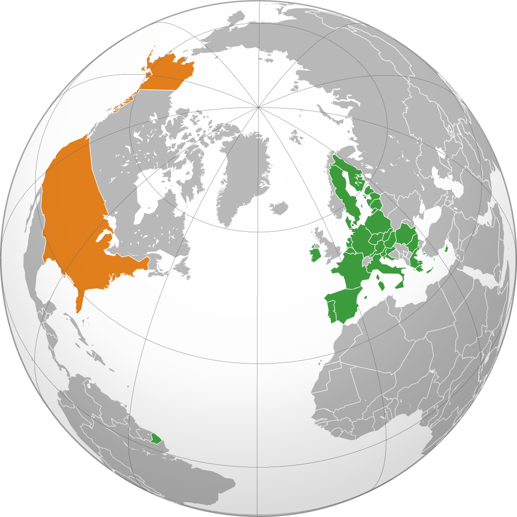
| 2020年2月28日 (五) 23:11 |  | 550 × 550(676 KB) | Hogweard | Update | |
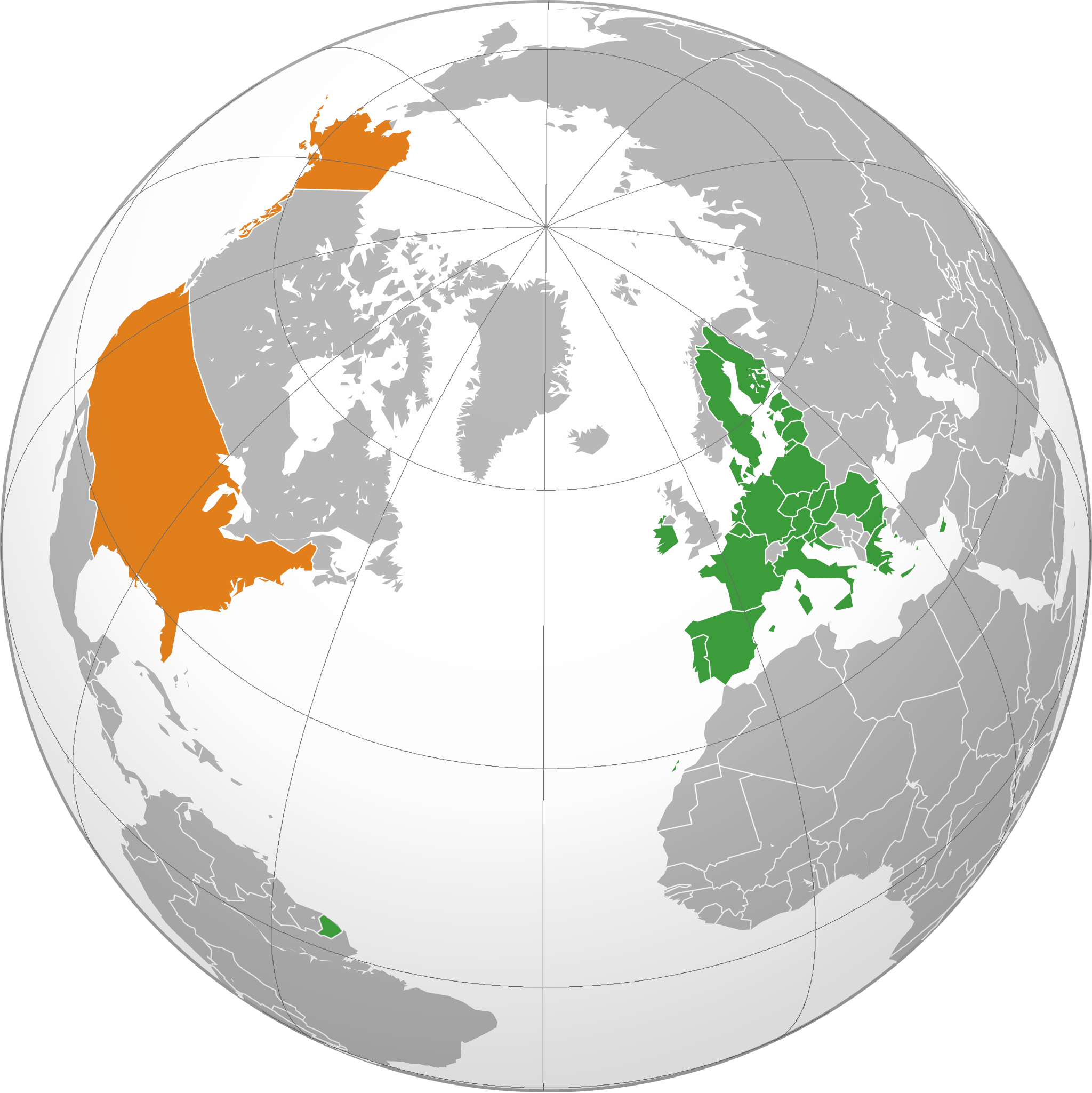
| 2019年10月17日 (四) 08:56 |  | 550 × 550(677 KB) | Ssolbergj | c | |
| 2019年10月17日 (四) 08:55 |  | 550 × 550(677 KB) | Ssolbergj | c | |
| 2013年7月2日 (二) 08:45 |  | 638 × 328(1.49 MB) | Treehill | + croatia (problem on the first upload) | |
| 2013年7月2日 (二) 08:42 |  | 638 × 328(1.49 MB) | Treehill | + croatia | |
| 2010年7月20日 (二) 15:46 |  | 638 × 328(1.8 MB) | Ssolbergj | better projection | |
| 2010年5月15日 (六) 00:35 |  | 940 × 415(1.51 MB) | CGN2010 | {{Information |Description=European Union - United States locator map |Source={{own}} |Date=2010-05-15 |Author={{own}} |Permission={{PD-self}} |other_versions= }} Category:Bilateral maps of the European Union [[Category:maps of the United Sta | |
| 2008年5月31日 (六) 13:01 |  | 999 × 553(574 KB) | Ssolbergj | {{Information |Description= |Source= |Date= |Author= |Permission= |other_versions= }} | |
| 2008年1月5日 (六) 15:17 |  | 940 × 477(1.6 MB) | Ssolbergj | {{Information |Description=The EU and the US |Source=self-made |Date=05.01.08 |Author= Ssolbergj |Permission= |other_versions= }} |
文件用途
以下页面使用本文件:
全域文件用途
以下其他wiki使用此文件:
- ar.wikipedia.org上的用途
- bg.wikipedia.org上的用途
- ca.wikipedia.org上的用途
- cs.wikipedia.org上的用途
- cy.wikipedia.org上的用途
- da.wikipedia.org上的用途
- de.wikipedia.org上的用途
- en.wikipedia.org上的用途
- eo.wikiquote.org上的用途
- es.wikipedia.org上的用途
- eu.wikipedia.org上的用途
- fa.wikipedia.org上的用途
- fi.wikipedia.org上的用途
- fr.wikipedia.org上的用途
- gl.wikipedia.org上的用途
- hr.wikipedia.org上的用途
- hy.wikipedia.org上的用途
- id.wikipedia.org上的用途
- it.wikipedia.org上的用途
- ja.wikipedia.org上的用途
- ko.wikipedia.org上的用途
- nl.wikipedia.org上的用途
- no.wikipedia.org上的用途
- pl.wikipedia.org上的用途
- ro.wikipedia.org上的用途
- ru.wikipedia.org上的用途
- sv.wikipedia.org上的用途
- tr.wikipedia.org上的用途
- uk.wikipedia.org上的用途
- vi.wikipedia.org上的用途
- www.wikidata.org上的用途