File:FrancoPrussianWarFrontierJuly1870.jpg

本预览的尺寸:700 × 600像素。 其他分辨率:280 × 240像素 | 560 × 480像素 | 896 × 768像素 | 1,083 × 928像素。
原始文件 (1,083 × 928像素,文件大小:1.09 MB,MIME类型:image/jpeg)
摘要
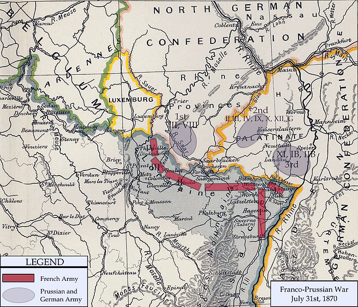
| 描述 | Franco-Prussian War map of 1870 |
| 日期 | |
| 来源 | Cambridge Modern History Atlas |
| 作者 | Edited by A.W.Ward, G.W.Prothero, and Stanley Leathes |
I adapted the map to reflect the state of French and Prussian/German armies in July of 1870.
许可协议
|
|
 | |
 |
文件历史
点击某个日期/时间查看对应时刻的文件。
| 日期/时间 | 缩略图 | 大小 | 用户 | 备注 | |
|---|---|---|---|---|---|
| 当前 | 2011年2月15日 (二) 20:13 | | 1,083 × 928(1.09 MB) | DIREKTOR | Repairs |
| 2008年1月3日 (四) 21:07 |  | 1,083 × 928(1.01 MB) | Monsieurdl | {{Information |Description=Franco-Prussian War map of 1870 |Source=Cambridge Modern History Atlas |Date=1912 |Author=Edited by A.W.Ward, G.W.Prothero, and Stanley Leathes }} I adapted the map to reflect the state of French and Prussian/German armies in J | |
| 2008年1月2日 (三) 21:22 |  | 1,083 × 928(1.04 MB) | Monsieurdl | {{Information |Description=Franco-Prussian War map of 1870 |Source=Cambridge Modern History Atlas |Date=1912 |Author=Edited by A.W.Ward, G.W.Prothero, and Stanley Leathes }} I adapted the map to reflect the state of French and Prussian/German armies in J |
文件用途
没有页面链接到本图像。
全域文件用途
以下其他wiki使用此文件:
- azb.wikipedia.org上的用途
- bg.wikipedia.org上的用途
- br.wikipedia.org上的用途
- cs.wikipedia.org上的用途
- en.wikipedia.org上的用途
- hy.wikipedia.org上的用途
- ja.wikipedia.org上的用途
- no.wikipedia.org上的用途
- pl.wikipedia.org上的用途
- sv.wikipedia.org上的用途
- tr.wikipedia.org上的用途
- vi.wikipedia.org上的用途