File:Horn of Africa states.svg

此SVG文件的PNG预览的大小:380 × 380像素。 其他分辨率:240 × 240像素 | 480 × 480像素 | 768 × 768像素 | 1,024 × 1,024像素 | 2,048 × 2,048像素。
原始文件 (SVG文件,尺寸为380 × 380像素,文件大小:175 KB)
| 描述 |
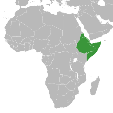
English: Map of Africa with states at the horn of Africa highlighted in green.
Deutsch: Karte Afrikas, die Staaten am Horn von Afrika grün hervorgehoben.
W3C-validity not checked. |
||
| 日期 | |||
| 来源 | derived from BlankMap-Africa.svg | ||
| 作者 | Master Uegly | ||
| 授权 (二次使用本文件) |
|
||
| 其他版本 | Africa-countries-horn.png |
文件历史
点击某个日期/时间查看对应时刻的文件。
| 日期/时间 | 缩略图 | 大小 | 用户 | 备注 | |
|---|---|---|---|---|---|
| 当前 | 2024年4月11日 (四) 09:13 | | 380 × 380(175 KB) | Anwar8989 | Reverted to version as of 18:28, 9 September 2022 (UTC) |
| 2022年10月29日 (六) 19:24 |  | 380 × 380(174 KB) | Jacob300 | Reverted to version as of 19:03, 13 October 2021 (UTC) | |
| 2022年9月9日 (五) 18:28 |  | 380 × 380(175 KB) | Anwar8989 | Reverted to version as of 22:08, 11 May 2015 (UTC) | |
| 2021年10月13日 (三) 19:03 |  | 380 × 380(174 KB) | Gebagebo | Added Somaliland | |
| 2015年5月11日 (一) 22:08 |  | 380 × 380(175 KB) | Master Uegly | new map with surroundings | |
| 2015年5月11日 (一) 13:35 |  | 1,000 × 1,000(184 KB) | Master Uegly | {{Information |Description={{en|Map of Africa with states at the horn of Africa highlighted in green.}} {{de|Karte Afrikas, die Staaaten am Horn von Afrika grün hervorgehoben.}} {{ValidSVG}} |Source=derived from {{f|BlankMap-Africa.svg}} |Date=2015-05... |
文件用途
以下页面使用本文件:
全域文件用途
以下其他wiki使用此文件:
- af.wikipedia.org上的用途
- ar.wikipedia.org上的用途
- ast.wikipedia.org上的用途
- ca.wikipedia.org上的用途
- de.wikipedia.org上的用途
- en.wikipedia.org上的用途
- eu.wikipedia.org上的用途
- fa.wikipedia.org上的用途
- fi.wikipedia.org上的用途
- frr.wikipedia.org上的用途
- ga.wikipedia.org上的用途
- ja.wikipedia.org上的用途
- kab.wikipedia.org上的用途
- ku.wikipedia.org上的用途
- no.wikipedia.org上的用途
- ro.wikipedia.org上的用途
- ru.wikipedia.org上的用途
- uk.wikipedia.org上的用途
- vec.wikipedia.org上的用途
- www.wikidata.org上的用途