File:Jerusalem Church of all nations BW 2.JPG
本预览的尺寸:401 × 599像素。 其他分辨率:160 × 240像素 | 321 × 480像素 | 514 × 768像素 | 685 × 1,024像素 | 1,371 × 2,048像素 | 2,592 × 3,872像素。
原始文件 (2,592 × 3,872像素,文件大小:2.69 MB,MIME类型:image/jpeg)
摘要
| 相机位置 | | 在以下服务上查看本图像和附近其他图像: OpenStreetMap |
|---|
| 描述 |
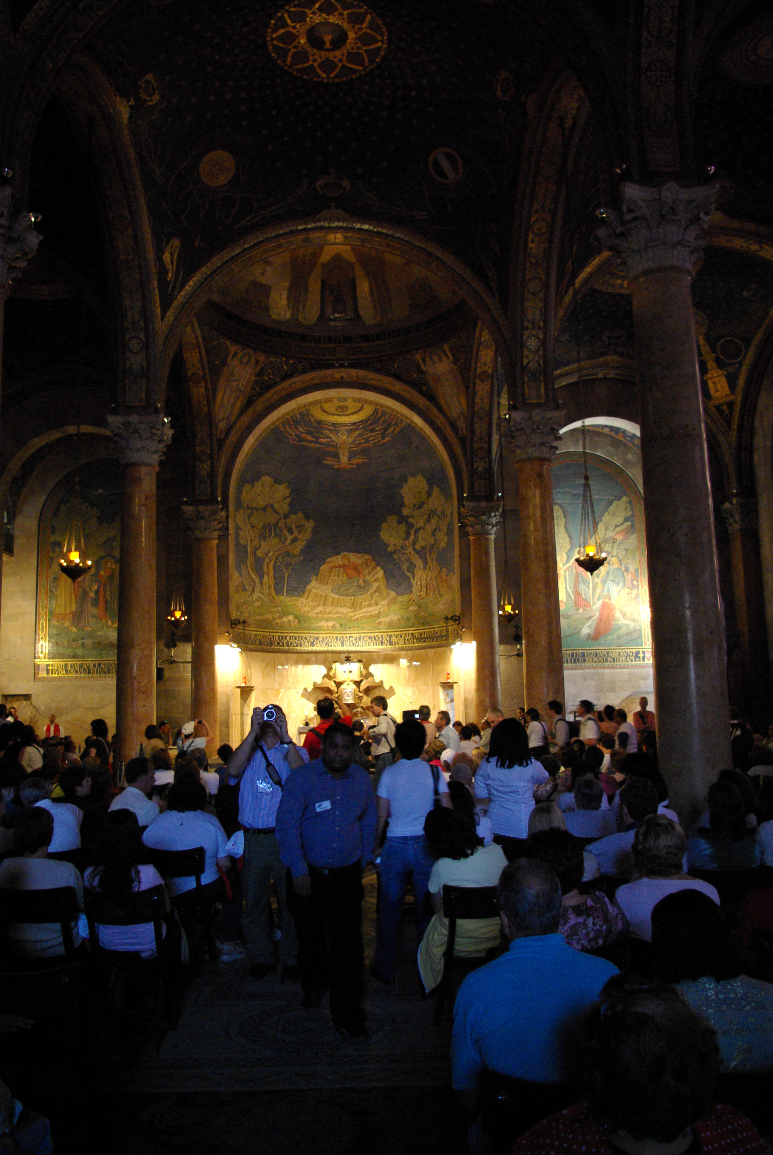
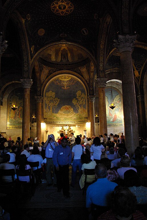
English: Jerusalem, Mount of Olives, Gethsemane, Church of all nations
Deutsch: Jerusalem, Ölberg, Kirche aller Nationen |
| 日期 | |
| 来源 | 自己的作品 |
| 作者 | Berthold Werner |
许可协议
| 我,本作品著作权人,释出本作品至公有领域。这适用于全世界。 在一些国家这可能不合法;如果是这样的话,那么: 我无条件地授予任何人以任何目的使用本作品的权利,除非这些条件是法律规定所必需的。 |
文件历史
点击某个日期/时间查看对应时刻的文件。
| 日期/时间 | 缩略图 | 大小 | 用户 | 备注 | |
|---|---|---|---|---|---|
| 当前 | 2009年1月1日 (四) 18:25 | | 2,592 × 3,872(2.69 MB) | Berthold Werner | {{Information |Description={{en|1=Jerusalem, Mount of Olives, Gethsemane, Church of all nations}} {{de|1=Jerusalem, Ölberg, Kirche aller Nationen}} |Source=Own work |Author=Berthold Werner |Date=2008-11-10 |Permission= |other_ver |
文件用途
以下页面使用本文件:
全域文件用途
以下其他wiki使用此文件:
- ar.wikipedia.org上的用途
- en.wikipedia.org上的用途
- fi.wikipedia.org上的用途
- mk.wikipedia.org上的用途
- uk.wikipedia.org上的用途
- vi.wikipedia.org上的用途