File:Kunlun IMG 0541.jpg
本预览的尺寸:800 × 600像素。 其他分辨率:320 × 240像素 | 640 × 480像素 | 1,024 × 768像素 | 1,280 × 960像素 | 2,272 × 1,704像素。
原始文件 (2,272 × 1,704像素,文件大小:1.56 MB,MIME类型:image/jpeg)
| 描述 |
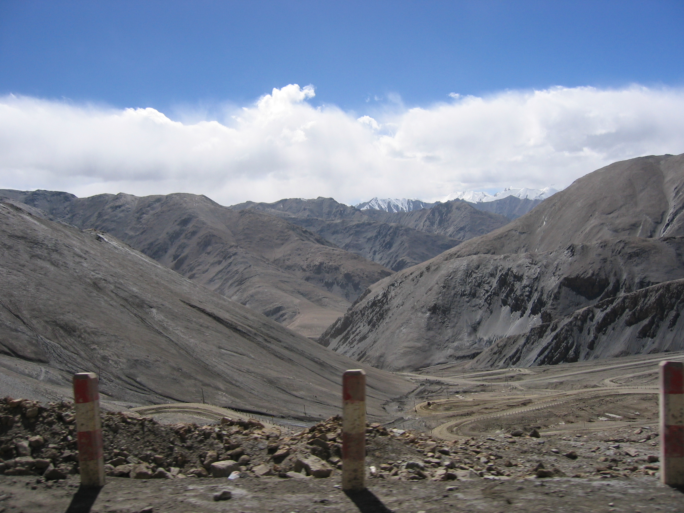
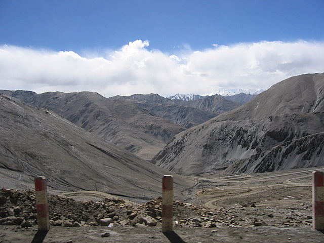
English: View of Western Kunlun Shan from the Tibet-Xinjiang highway |
||
| 日期 | July of 2004 while on a geological expedition from UC Davis | ||
| 来源 | en | ||
| 作者 | Photo taken by Nick Kent-Basham | ||
| 授权 (二次使用本文件) |
|
| 相机位置 | | 在以下服务上查看本图像和附近其他图像: OpenStreetMap |
|---|
文件历史
点击某个日期/时间查看对应时刻的文件。
| 日期/时间 | 缩略图 | 大小 | 用户 | 备注 | |
|---|---|---|---|---|---|
| 当前 | 2007年3月11日 (日) 19:48 | | 2,272 × 1,704(1.56 MB) | Hugo.arg | {{Information |Description=View of Western Kunlun Shan from the Tibet-Xinjiang highway |Source=[http://en.wikipedia.org/wiki/Image:IMG_0541.jpg en] |Date= July of 2004 while on a geological expedition from UC Davis |Author=Photo taken by Nick Kent-Basham |
文件用途
全域文件用途
以下其他wiki使用此文件:
- af.wikipedia.org上的用途
- ast.wikipedia.org上的用途
- ba.wikipedia.org上的用途
- be.wikipedia.org上的用途
- bg.wikipedia.org上的用途
- bn.wikipedia.org上的用途
- ca.wikipedia.org上的用途
- cs.wikipedia.org上的用途
- de.wikipedia.org上的用途
- en.wikipedia.org上的用途
- es.wikipedia.org上的用途
- he.wikipedia.org上的用途
- hr.wikipedia.org上的用途
- hu.wikipedia.org上的用途
- it.wikipedia.org上的用途
- ka.wikipedia.org上的用途
- ko.wikipedia.org上的用途
- lt.wikipedia.org上的用途
- nl.wikipedia.org上的用途
- no.wikipedia.org上的用途
- ro.wikipedia.org上的用途
- ru.wikipedia.org上的用途
- sh.wikipedia.org上的用途
- sk.wikipedia.org上的用途
- sr.wikipedia.org上的用途
- sv.wikipedia.org上的用途
- sw.wikipedia.org上的用途
- th.wikipedia.org上的用途
- tt.wikipedia.org上的用途
- ug.wikipedia.org上的用途
- uk.wikipedia.org上的用途
- vi.wikipedia.org上的用途
- www.wikidata.org上的用途