File:Lake District National Park UK location map.svg

此SVG文件的PNG预览的大小:497 × 599像素。 其他分辨率:199 × 240像素 | 398 × 480像素 | 637 × 768像素 | 850 × 1,024像素 | 1,699 × 2,048像素 | 1,116 × 1,345像素。
原始文件 (SVG文件,尺寸为1,116 × 1,345像素,文件大小:1.6 MB)
| 描述 |
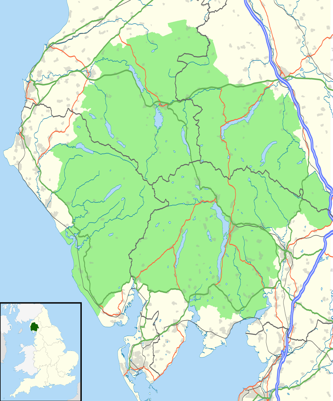
Map of the Lake District National Park, UK with the following information shown:
Equirectangular map projection on WGS 84 datum, with N/S stretched 170% Geographic limits:
|
| 日期 | |
| 来源 |
Office of National Statistics Geography
|
| 作者 | Nilfanion, created using Ordnance Survey data |
| 授权 (二次使用本文件) |
本文件采用知识共享署名-相同方式共享 3.0 未本地化版本许可协议授权。 署名: Contains Ordnance Survey data © Crown copyright and database right
|
文件历史
点击某个日期/时间查看对应时刻的文件。
| 日期/时间 | 缩略图 | 大小 | 用户 | 备注 | |
|---|---|---|---|---|---|
| 当前 | 2016年8月4日 (四) 21:05 | | 1,116 × 1,345(1.6 MB) | Rcsprinter123 | Amendments per the Lake District National Park (Designation) (Variation) Order 2012. |
| 2010年10月29日 (五) 21:32 |  | 1,108 × 1,345(1.48 MB) | Nilfanion | {{Information |Description=Map of the Lake District National Park, UK with the following information shown: *National Park boundary *Administrative borders *Coastline, lakes and rivers *Roads and railways *Urban areas Equirectangular |
文件用途
以下页面使用本文件:
全域文件用途
以下其他wiki使用此文件:
- ar.wikipedia.org上的用途
- ban.wikipedia.org上的用途
- br.wikipedia.org上的用途
- ceb.wikipedia.org上的用途
- de.wikipedia.org上的用途
- en.wikipedia.org上的用途
- es.wikipedia.org上的用途
- eu.wikipedia.org上的用途
- fa.wikipedia.org上的用途
- fy.wikipedia.org上的用途
- he.wikipedia.org上的用途
- hy.wikipedia.org上的用途
- ja.wikipedia.org上的用途
- kn.wikipedia.org上的用途
- ml.wikipedia.org上的用途
- nl.wikipedia.org上的用途
- nl.wikivoyage.org上的用途
- nn.wikipedia.org上的用途
- pl.wikipedia.org上的用途
- ro.wikipedia.org上的用途
- ru.wikipedia.org上的用途
- simple.wikipedia.org上的用途
- si.wikipedia.org上的用途
- sl.wikipedia.org上的用途
- ta.wikipedia.org上的用途
- th.wikipedia.org上的用途
- tr.wikipedia.org上的用途
- uk.wikipedia.org上的用途
- war.wikipedia.org上的用途