File:Location map of Middlesex County, New Jersey.svg

此SVG文件的PNG预览的大小:700 × 600像素。 其他分辨率:280 × 240像素 | 560 × 480像素 | 896 × 768像素 | 1,195 × 1,024像素 | 2,389 × 2,048像素。
原始文件 (SVG文件,尺寸为896 × 768像素,文件大小:878 KB)
摘要
| 描述 |
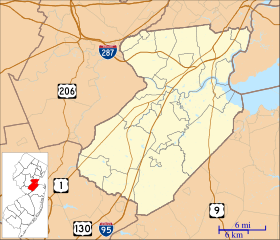
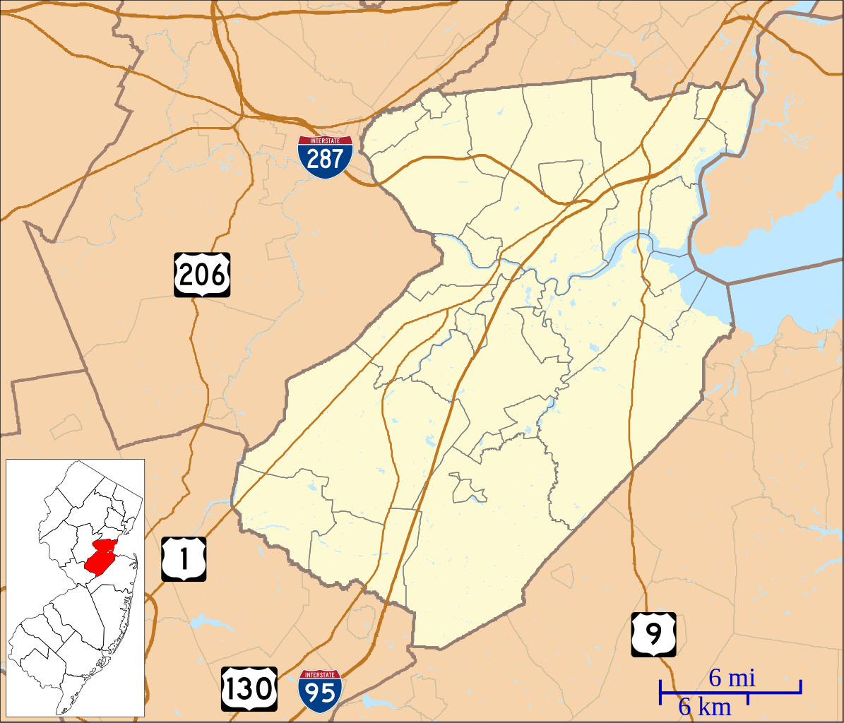
English: This is a map of Middlesex County, New Jersey, USA which includes incorporated settlements, township borders, and major highways. |
| 日期 | |
| 来源 | My own work, using custom-written MapScript applications with United States Census Bureau data |
| 作者 | Omnedon |
许可协议
| 我,本作品著作权人,释出本作品至公有领域。这适用于全世界。 在一些国家这可能不合法;如果是这样的话,那么: 我无条件地授予任何人以任何目的使用本作品的权利,除非这些条件是法律规定所必需的。 |
文件历史
点击某个日期/时间查看对应时刻的文件。
| 日期/时间 | 缩略图 | 大小 | 用户 | 备注 | |
|---|---|---|---|---|---|
| 当前 | 2023年6月6日 (二) 06:06 | | 896 × 768(878 KB) | X5163x | Merged Princeton Township and Borough (was merged since 2013) |
| 2012年9月27日 (四) 03:54 |  | 896 × 768(880 KB) | Omnedon | == {{int:filedesc}} == {{Information |Description={{en|This is a map of Middlesex County, New Jersey, USA which includes incorporated settlements, township borders, and major highways.}} |Source=My own work, using cu... |
文件用途
以下页面使用本文件:
全域文件用途
以下其他wiki使用此文件:
- ar.wikipedia.org上的用途
- azb.wikipedia.org上的用途
- منلو پارک، نیوجرسی
- فینکس، ادیسون، نیوجرسی
- دینز، نیوجرسی
- سیریویل جانکشن، نیوجرسی
- منلو پارک تریس، نیوجرسی
- پارلین، نیوجرسی
- هوپلاون، نیوجرسی
- کیزبی، نیوجرسی
- کرانبوری، نیوجرسی
- نیو دوور، نیوجرسی
- نیوتوون، نیوجرسی
- آپلقارت، نیوجرسی
- دونالن، نیوجرسی
- ادیسون، نیوجرسی
- تراسی، نیوجرسی
- پرت آمبوی، نیوجرسی
- کارترت، نیوجرسی
- هئیزلتون، نیوجرسی
- هلمتا، نیوجرسی
- سایر وودز، نیوجرسی
- سایرویل، نیوجرسی
- جیمزبورق، نیوجرسی
- سوت آمبوی، نیوجرسی
- ایستلتون، نیوجرسی
- ceb.wikipedia.org上的用途
- en.wikipedia.org上的用途
- Avenel, New Jersey
- Brownville, New Jersey
- Carteret, New Jersey
- Colonia, New Jersey
- Concordia, New Jersey
- Cranbury (CDP), New Jersey
- Cranbury, New Jersey
- Dayton, New Jersey
- Dunellen, New Jersey
- East Brunswick, New Jersey
- Edison, New Jersey
- Fords, New Jersey
- Heathcote, New Jersey
- Helmetta, New Jersey
- Highland Park, New Jersey
- Iselin, New Jersey
- Jamesburg, New Jersey
- Kendall Park, New Jersey
- Kingston, New Jersey
- Laurence Harbor, New Jersey
- Madison Park, New Jersey
- Metuchen, New Jersey
- Middlesex, New Jersey
- Milltown, New Jersey
查看本文件的更多全域用途。