File:Location of the Ryukyu Islands.JPG
本预览的尺寸:654 × 599像素。 其他分辨率:262 × 240像素 | 524 × 480像素。
原始文件 (800 × 733像素,文件大小:310 KB,MIME类型:image/jpeg)

|
此locator map图片可使用矢量图形重新创建为SVG文件。这具有很多好处;更多信息请参见共享资源:待清理媒体。如果存在此图片的SVG格式,请将其上传,然后将此模板替换为
{{vector version available|新图片名称}}。
建议您将SVG命名为“Location of the Ryukyu Islands.svg”,这样在使用Vector version available(或Vva)模板时就不需要填写新图片名称参数。 |


摘要
| 描述 |
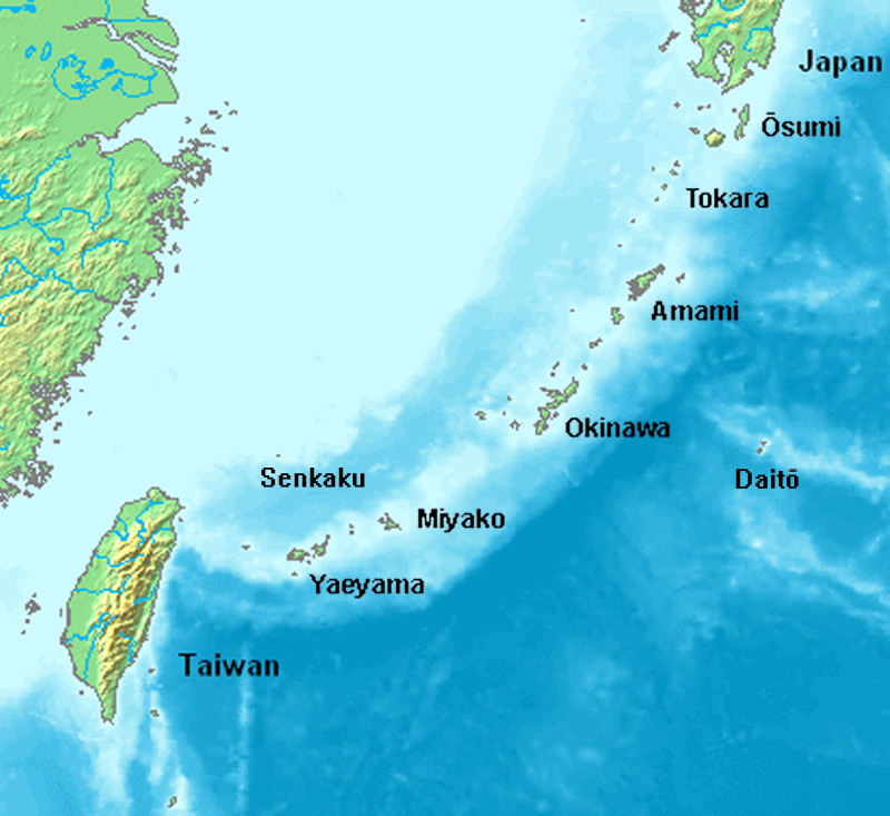
English: Location map of the Ryukyu islands (Nansei islands). This is a modification of the:
http://commons.wikimedia.org/wiki/Image:Location_Ryukyu_Islands.PNG |
| 日期 | June 2006 |
| 来源 | 自己的作品 |
| 作者 | Uchinanchu |
| 其他版本 |
|

许可协议

|
本作品的著作权持有者允许任何人以任何目的使用该作品,包括无限制的再分发、商业性使用和修改内容。
使用注意:
|
文件历史
点击某个日期/时间查看对应时刻的文件。
| 日期/时间 | 缩略图 | 大小 | 用户 | 备注 | |
|---|---|---|---|---|---|
| 当前 | 2019年8月7日 (三) 16:43 | | 800 × 733(310 KB) | Artanisen | Higher quality and larger version. |
| 2006年6月28日 (三) 05:24 |  | 482 × 377(47 KB) | Uchinanchu | Location of the Ryukyu Islands Modification of the: http://commons.wikimedia.org/wiki/Image:Location_Ryukyu_Islands.PNG |
文件用途
以下页面使用本文件:
全域文件用途
以下其他wiki使用此文件:
- af.wikipedia.org上的用途
- ang.wikipedia.org上的用途
- ar.wikipedia.org上的用途
- ast.wikipedia.org上的用途
- az.wikipedia.org上的用途
- bg.wikipedia.org上的用途
- bh.wikipedia.org上的用途
- br.wikipedia.org上的用途
- ca.wikipedia.org上的用途
- cdo.wikipedia.org上的用途
- da.wikipedia.org上的用途
- de.wikipedia.org上的用途
- Ryūkyū-Inseln
- Geschichte der Ryūkyū-Inseln
- Nansei-Inseln
- Kerama-Inseln
- Diploderma polygonatum
- Plestiodon kishinouyei
- Sinomicrurus japonicus
- Eigentliche Zwergschlangen
- Calamaria pfefferi
- Achalinus werneri
- Lycodon multifasciatus
- Ptyas herminae
- Hebius pryeri
- Hebius ishigakiensis
- Hebius concelarus
- Gekko vertebralis
- Ateuchosaurus pellopleurus
- Scincella boettgeri
- Plestiodon japonicus
- Plestiodon marginatus
- Plestiodon latiscutatus
- Plestiodon finitimus
- Plestiodon kuchinoshimensis
- Plestiodon stimpsonii
- Plestiodon takarai
- Plestiodon oshimensis
- Buergeria japonica
- Japanisch-taiwanische Beziehungen
- en.wikipedia.org上的用途
查看本文件的更多全域用途。