File:MESSENGER EN0108828359M.png
本预览的尺寸:595 × 600像素。 其他分辨率:238 × 240像素 | 476 × 480像素 | 1,016 × 1,024像素。
原始文件 (1,016 × 1,024像素,文件大小:692 KB,MIME类型:image/png)
摘要
| 描述 |
Original caption:
|
| 日期 | |
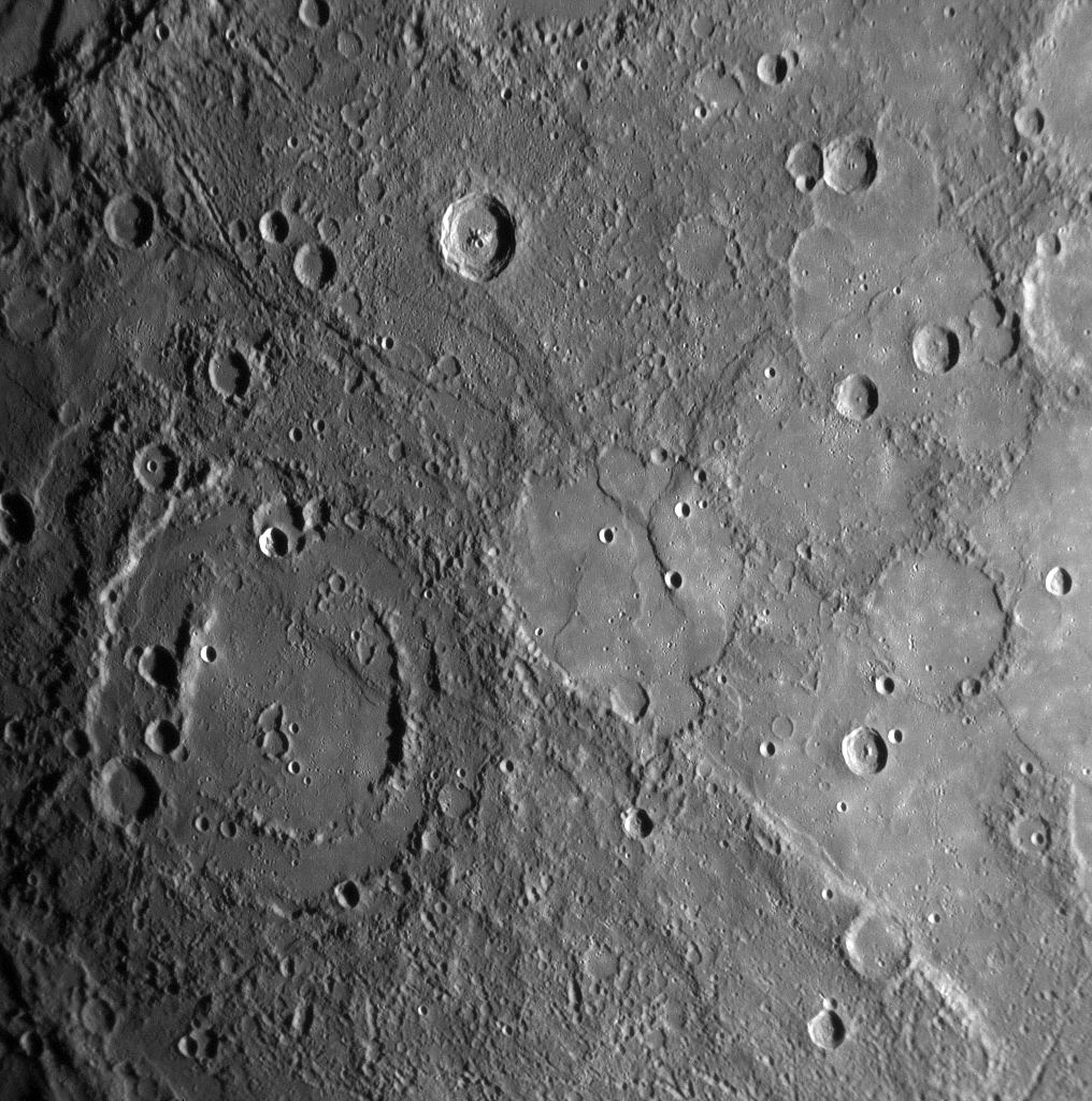
| 来源 | MESSENGER REVEALS MERCURY'S GEOLOGICAL HISTORY |
| 作者 | NASA/Johns Hopkins University Applied Physics Laboratory/Carnegie Institution of Washington |
许可协议
| 本文件完全由NASA创作,在美国属于公有领域。根据NASA的版权方针,NASA的材料除非另有声明否则不受版权保护。(参见Template:PD-USGov/zh、NASA版权方针页面或JPL图片使用方针。) | ||
 |
警告:
|
文件历史
点击某个日期/时间查看对应时刻的文件。
| 日期/时间 | 缩略图 | 大小 | 用户 | 备注 | |
|---|---|---|---|---|---|
| 当前 | 2020年2月10日 (一) 16:01 | | 1,016 × 1,024(692 KB) | SteinsplitterBot | Bot: Image rotated by 180° |
| 2008年1月17日 (四) 22:00 |  | 1,016 × 1,024(691 KB) | Zginder | {{Information |Description=One of the photos released after the first flyby. |Source=http://messenger.jhuapl.edu/gallery/sciencePhotos/pics/EN0108828359M.png |Date= |Author= |Permission= |other_versions= }} |
文件用途
以下页面使用本文件:
全域文件用途
以下其他wiki使用此文件:
- af.wikipedia.org上的用途
- ar.wikipedia.org上的用途
- az.wikipedia.org上的用途
- bg.wikipedia.org上的用途
- bn.wikipedia.org上的用途
- en.wikipedia.org上的用途
- en.wikibooks.org上的用途
- en.wikiquote.org上的用途
- es.wikipedia.org上的用途
- fr.wikipedia.org上的用途
- gu.wikipedia.org上的用途
- he.wikipedia.org上的用途
- ko.wikibooks.org上的用途
- mk.wikipedia.org上的用途
- ml.wikipedia.org上的用途
- ro.wikipedia.org上的用途
- ta.wikipedia.org上的用途
- tr.wikipedia.org上的用途