File:Map Chhattisgarh state and districts.png

本预览的尺寸:403 × 600像素。 其他分辨率:161 × 240像素 | 451 × 671像素。
原始文件 (451 × 671像素,文件大小:32 KB,MIME类型:image/png)
Loriya change to name of koriya not a loriya
摘要
| 描述 |
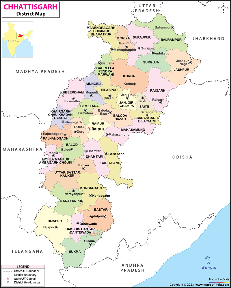
Chhattisgarh State (India) with district boundries and city marks - Self Made - w:User:Miljoshi - Jan 2006 Note: co-ordinates are estimated, and may not be exactly accurate. |
| 日期 | 2006年1月1日 (原始上传日期) |
| 来源 | 无法识别来源。根据版权声明推断为其自己的作品。 |
| 作者 | 无法识别作者。根据版权声明推断作者为Miljoshi。 |
许可协议
我,本作品著作权人,特此采用以下许可协议发表本作品:

|
已授权您依据自由软件基金会发行的无固定段落及封面封底文字(Invariant Sections, Front-Cover Texts, and Back-Cover Texts)的GNU自由文件许可协议1.2版或任意后续版本的条款,复制、传播和/或修改本文件。该协议的副本请见“GNU Free Documentation License”。 |
| 本文件采用知识共享署名-相同方式共享 3.0 未本地化版本许可协议授权。 | ||
| ||
| 本许可协议标签作为GFDL许可协议更新的组成部分被添加至本文件。 |
- 您可以自由地:
- 共享 – 复制、发行并传播本作品
- 修改 – 改编作品
- 惟须遵守下列条件:
- 署名 – 您必须对作品进行署名,提供授权条款的链接,并说明是否对原始内容进行了更改。您可以用任何合理的方式来署名,但不得以任何方式表明许可人认可您或您的使用。
- 相同方式共享 – 如果您再混合、转换或者基于本作品进行创作,您必须以与原先许可协议相同或相兼容的许可协议分发您贡献的作品。
您可以选择您需要的许可协议。
http://www.mapsofindia.com/maps/chhattisgarh/chhattisgarh.jpg
文件历史
点击某个日期/时间查看对应时刻的文件。
| 日期/时间 | 缩略图 | 大小 | 用户 | 备注 | |
|---|---|---|---|---|---|
| 当前 | 2006年1月2日 (一) 17:01 | | 451 × 671(32 KB) | Miljoshi | Update - added tag for Uttar Pradesh |
| 2006年1月1日 (日) 14:06 |  | 451 × 671(32 KB) | Miljoshi | Chhattisgarh State (India) with district boundries and city marks - Self Made - w:User:Miljoshi - Jan 2006 Note: co-ordinates are estimated, and may not be exactly accurate. Category:Chhattisgarh district maps |
文件用途
没有页面链接到本图像。
全域文件用途
以下其他wiki使用此文件:
- ar.wikipedia.org上的用途
- arz.wikipedia.org上的用途
- as.wikipedia.org上的用途
- bn.wikipedia.org上的用途
- ca.wikipedia.org上的用途
- de.wikipedia.org上的用途
- de.wikivoyage.org上的用途
- en.wikipedia.org上的用途
- en.wikivoyage.org上的用途
- es.wikipedia.org上的用途
- eu.wikipedia.org上的用途
- fi.wikipedia.org上的用途
- fr.wikipedia.org上的用途
- gu.wikipedia.org上的用途
- hi.wikipedia.org上的用途
- id.wikipedia.org上的用途
- it.wikipedia.org上的用途
- Chhattisgarh
- Distretto di Bastar
- Distretto di Bilaspur (Chhattisgarh)
- Distretto di Dantewada
- Distretto di Dhamtari
- Distretto di Durg
- Distretto di Janjgir-Champa
- Distretto di Jashpur
- Distretto di Kanker
- Distretto di Kawardha
- Distretto di Korba
- Distretto di Korea
- Distretto di Mahasamund
- Distretto di Raigarh
查看本文件的更多全域用途。