File:Map of Kentucky highlighting Barren County.svg

此SVG文件的PNG预览的大小:800 × 345像素。 其他分辨率:320 × 138像素 | 640 × 276像素 | 1,024 × 441像素 | 1,280 × 551像素 | 2,560 × 1,103像素 | 6,770 × 2,916像素。
原始文件 (SVG文件,尺寸为6,770 × 2,916像素,文件大小:127 KB)
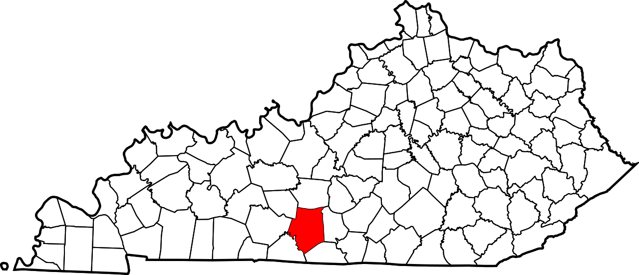
This is a locator map showing Barren County in Kentucky.
David Benbennick made this map. For more information, see Commons:United States county locator maps.
| 我,本作品著作权人,释出本作品至公有领域。这适用于全世界。 在一些国家这可能不合法;如果是这样的话,那么: 我无条件地授予任何人以任何目的使用本作品的权利,除非这些条件是法律规定所必需的。 |
文件历史
点击某个日期/时间查看对应时刻的文件。
| 日期/时间 | 缩略图 | 大小 | 用户 | 备注 | |
|---|---|---|---|---|---|
| 当前 | 2006年2月12日 (日) 12:20 | | 6,770 × 2,916(127 KB) | David Benbennick | {{subst:User:Dbenbenn/clm|county=Barren County|state=Kentucky}} |
文件用途
以下38个页面使用本文件:
- 八十八 (肯塔基州)
- 凯夫城 (肯塔基州)
- 古德奈特 (肯塔基州)
- 坦普爾希爾 (肯塔基州)
- 埃托伊爾 (肯塔基州)
- 基諾 (肯塔基州)
- 奧斯汀 (肯塔基州)
- 巴倫縣 (肯塔基州)
- 布里斯爾敦 (肯塔基州)
- 帕克 (肯塔基州)
- 帕克城 (肯塔基州)
- 庫克敦 (肯塔基州)
- 彼得克里克 (肯塔基州)
- 德賴福克 (肯塔基州)
- 斯利克羅克 (肯塔基州)
- 普里查茲維爾 (肯塔基州)
- 格拉斯哥 (肯塔基州)
- 格里德維爾 (肯塔基州)
- 梅里奧克斯 (肯塔基州)
- 油城 (肯塔基州)
- 海伍德 (肯塔基州)
- 海斯維爾 (肯塔基州)
- 海蘭斯普林斯 (肯塔基州)
- 特雷西 (肯塔基州)
- 盧卡斯 (肯塔基州)
- 科勒爾希爾 (肯塔基州)
- 羅基希爾 (肯塔基州巴倫縣)
- 羅斯維爾 (肯塔基州巴倫縣)
- 肯塔基州縣級行政區列表
- 艾普爾格羅夫 (肯塔基州)
- 芬尼 (肯塔基州)
- 萊克塔 (肯塔基州)
- 諾波布 (肯塔基州)
- 貝克頓 (肯塔基州)
- 貝爾沃洛 (肯塔基州巴倫縣)
- 邦艾爾 (肯塔基州)
- 雷爾頓 (肯塔基州)
- Template:巴倫縣 (肯塔基州)
全域文件用途
以下其他wiki使用此文件:
- ar.wikipedia.org上的用途
- azb.wikipedia.org上的用途
- bg.wikipedia.org上的用途
- bpy.wikipedia.org上的用途
- cdo.wikipedia.org上的用途
- ceb.wikipedia.org上的用途
- ce.wikipedia.org上的用途
- cs.wikipedia.org上的用途
- cy.wikipedia.org上的用途
- de.wikipedia.org上的用途
- en.wikipedia.org上的用途
- Barren County, Kentucky
- Cave City, Kentucky
- Glasgow, Kentucky
- Hiseville, Kentucky
- Park City, Kentucky
- Eighty Eight, Kentucky
- Barren River Lake
- List of counties in Kentucky
- Barren River
- Template:Barren County, Kentucky
- User:Nyttend/County templates/KY/1
- Lecta, Kentucky
- National Register of Historic Places listings in Barren County, Kentucky
- Category:Populated places in Barren County, Kentucky
- Park, Kentucky
- Nobob, Kentucky
- Goodnight, Kentucky
- Etoile, Kentucky
- Oil City, Kentucky
- Tracy, Kentucky
- Bon Ayr, Kentucky
- Apple Grove, Kentucky
- Bear Wallow, Barren County, Kentucky
- Kino, Kentucky
- Slick Rock, Kentucky
- Finney, Kentucky
- Lucas, Kentucky
- Haywood, Kentucky
- Temple Hill, Kentucky
- Bristletown, Kentucky
- Austin, Kentucky
- Beckton, Kentucky
查看本文件的更多全域用途。