File:Map of Lorain County Ohio Highlighting Oberlin City.png
本预览的尺寸:294 × 599像素。 其他分辨率:118 × 240像素 | 573 × 1,167像素。
原始文件 (573 × 1,167像素,文件大小:44 KB,MIME类型:image/png)
| 描述 |
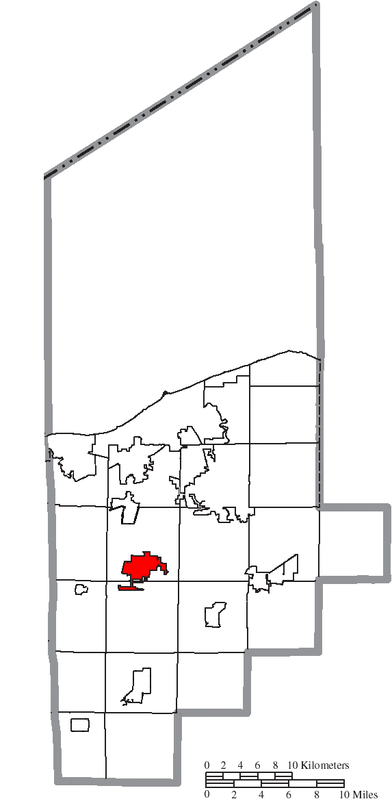
English: Map of the municipal and township boundaries of Lorain County, Ohio, United States, as of the 2000 census, with the location of Oberlin highlighted. Township borders are shown only in unincorporated areas in order to differentiate incorporated and unincorporated areas more clearly. |
||
| 日期 | |||
| 来源 | File:Map of Lorain County Ohio With Municipal and Township Labels.PNG | ||
| 作者 | Ruhrfisch and Nyttend | ||
| 授权 (二次使用本文件) |
本文件采用知识共享署名-相同方式共享 3.0 未本地化版本许可协议授权。
|
||
| 其他版本 |
|

文件历史
点击某个日期/时间查看对应时刻的文件。
| 日期/时间 | 缩略图 | 大小 | 用户 | 备注 | |
|---|---|---|---|---|---|
| 当前 | 2015年8月17日 (一) 00:44 | | 573 × 1,167(44 KB) | Nyttend | {{Information |Description={{en|Map of the municipal and township boundaries of {{w|Lorain County, Ohio|Lorain County}}, {{w|Ohio}}, {{w|United States}}, as of the 2000 census, with the location of {{w|Oberlin, Ohio|Oberlin}} highlighted. Township bor... |
文件用途
以下页面使用本文件:
全域文件用途
以下其他wiki使用此文件:
- ro.wikipedia.org上的用途
- tr.wikipedia.org上的用途