File:Maxwell Air Force Base.jpg

本预览的尺寸:600 × 600像素。 其他分辨率:240 × 240像素 | 480 × 480像素 | 768 × 768像素 | 1,024 × 1,024像素 | 2,048 × 2,048像素 | 4,039 × 4,039像素。
原始文件 (4,039 × 4,039像素,文件大小:4.76 MB,MIME类型:image/jpeg)
摘要
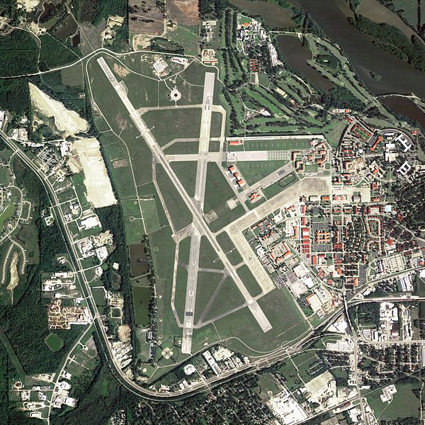
| 描述 | Aerial image of Maxwell Air Force Base in Montgomery, Alabama, United States |
| 日期 | |
| 来源 | National Agriculture Imagery Program (NAIP) Orthoimagery for Zone 16 Alabama State Quarter Quadrangle GREENVILLE WEST, NE and I.D. # n_3108611_ne_16_1_20060615.tif |
| 作者 | United States Department of Agriculture (USDA), Farm Services Agency |
| 授权 (二次使用本文件) |
Public domain |
许可协议
|
|
 |
文件历史
点击某个日期/时间查看对应时刻的文件。
| 日期/时间 | 缩略图 | 大小 | 用户 | 备注 | |
|---|---|---|---|---|---|
| 当前 | 2012年3月9日 (五) 00:55 | | 4,039 × 4,039(4.76 MB) | Hohum | Levels |
| 2009年6月21日 (日) 21:11 |  | 4,039 × 4,039(4.95 MB) | AuburnPilot | == Summary == {{Information |Description=Satellite image of Maxwell Air Force Base in Montgomery, Alabama, United States on 15 June 2006 |Source=United States Geological Survey (National Agriculture Imagery Program (NAIP) Ort |
文件用途
以下页面使用本文件:
全域文件用途
以下其他wiki使用此文件:
- en.wikipedia.org上的用途
- fr.wikipedia.org上的用途
- sv.wikipedia.org上的用途
- uk.wikipedia.org上的用途