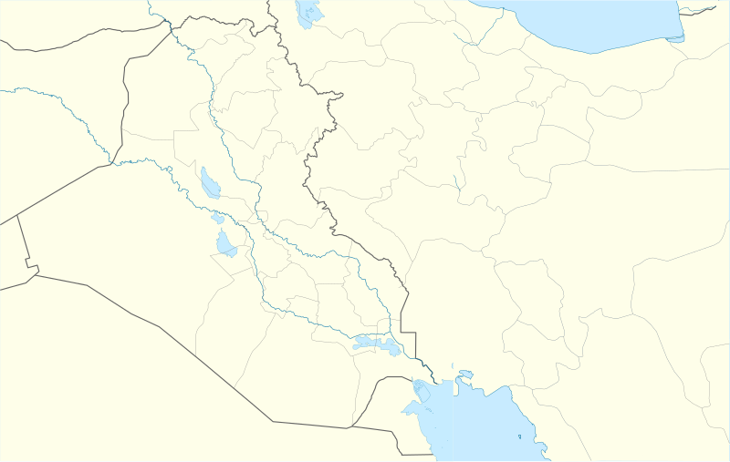
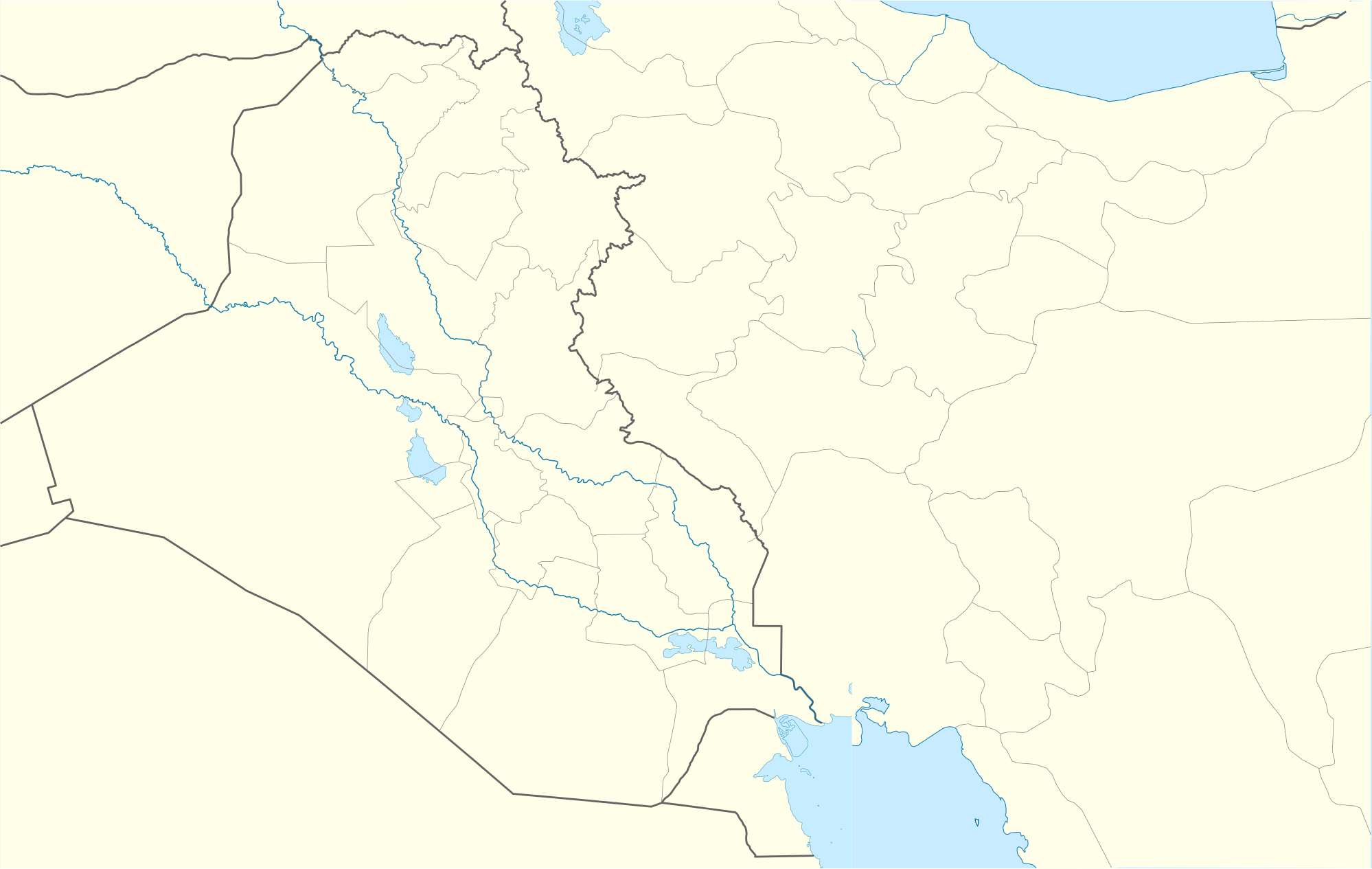
File:Mesopotamia location map2.svg

此SVG文件的PNG预览的大小:800 × 507像素。 其他分辨率:320 × 203像素 | 640 × 405像素 | 1,024 × 648像素 | 1,280 × 810像素 | 2,560 × 1,621像素 | 1,998 × 1,265像素。
原始文件 (SVG文件,尺寸为1,998 × 1,265像素,文件大小:320 KB)
| 描述 | Location map for Mesopotamia (second version) |
| 日期 | (UTC) |
| 来源 | |
| 作者 |
|
| 这是一张修改过的图片,这意味着它已在原版本的基础上通过软件进行了编辑。其原始版本为:Iraq location map.svg。
|
本文件采用知识共享署名-相同方式共享 3.0 未本地化版本许可协议授权。
- 您可以自由地:
- 共享 – 复制、发行并传播本作品
- 修改 – 改编作品
- 惟须遵守下列条件:
- 署名 – 您必须对作品进行署名,提供授权条款的链接,并说明是否对原始内容进行了更改。您可以用任何合理的方式来署名,但不得以任何方式表明许可人认可您或您的使用。
- 相同方式共享 – 如果您再混合、转换或者基于本作品进行创作,您必须以与原先许可协议相同或相兼容的许可协议分发您贡献的作品。
原始上传日志
This image is a derivative work of the following images:
- File:Iran_location_map.svg licensed with Cc-by-sa-3.0, GFDL
- 2010-07-11T20:08:23Z Uwe Dedering 1200x1071 (655114 Bytes) 31. province Alborz
- 2010-02-18T17:44:29Z Uwe Dedering 1200x1071 (721726 Bytes) Bahrain above water, no disputed countries
- 2010-02-18T13:00:48Z Uwe Dedering 1200x1071 (725716 Bytes) {{Information |Description={{en|1=Location map of Iran. Equirectangular projection. Strechted by 118.0%. Geographic limits of the map: * N: 40.0° N * S: 24.5° N * W: 43.5° E * E: 64.0° E Made with Natural Earth. Fre
- File:Iraq_location_map.svg licensed with Cc-by-sa-3.0, GFDL
- 2008-08-21T20:36:28Z NordNordWest 1241x1264 (323475 Bytes) {{Information |Description= {{de|Positionskarte von [[:de:Irak|Irak]]}} Quadratische Plattkarte, N-S-Streckung 115 %. Geographische Begrenzung der Karte: * N: 37.7° N * S: 28.4° N * W: 38.4° O * O: 48.9° O {{en|Location m
Uploaded with derivativeFX
文件历史
点击某个日期/时间查看对应时刻的文件。
| 日期/时间 | 缩略图 | 大小 | 用户 | 备注 | |
|---|---|---|---|---|---|
| 当前 | 2010年10月28日 (四) 12:51 | | 1,998 × 1,265(320 KB) | 배우는사람 | {{Information |Description=Location map for Mesopotamia (second version) |Source=*File:Iran_location_map.svg *File:Iraq_location_map.svg |Date=2010-10-28 12:50 (UTC) |Author=*File:Iran_location_map.svg: Uwe Dedering |
文件用途
全域文件用途
以下其他wiki使用此文件:
- am.wikipedia.org上的用途
- ar.wikipedia.org上的用途
- ceb.wikipedia.org上的用途
- da.wikipedia.org上的用途
- de.wikipedia.org上的用途
- en.wikipedia.org上的用途
- es.wikipedia.org上的用途
- fa.wikipedia.org上的用途
- fr.wikipedia.org上的用途
- ja.wikipedia.org上的用途
- kn.wikipedia.org上的用途
- ko.wikipedia.org上的用途
查看本文件的更多全域用途。