File:Middle Creek Battlefield.jpg

本预览的尺寸:800 × 532像素。 其他分辨率:320 × 213像素 | 640 × 426像素 | 1,024 × 681像素 | 1,280 × 851像素 | 2,560 × 1,702像素 | 6,016 × 4,000像素。
原始文件 (6,016 × 4,000像素,文件大小:6.22 MB,MIME类型:image/jpeg)
| 相机位置 | | 在以下服务上查看本图像和附近其他图像: OpenStreetMap |
|---|
| 描述 |
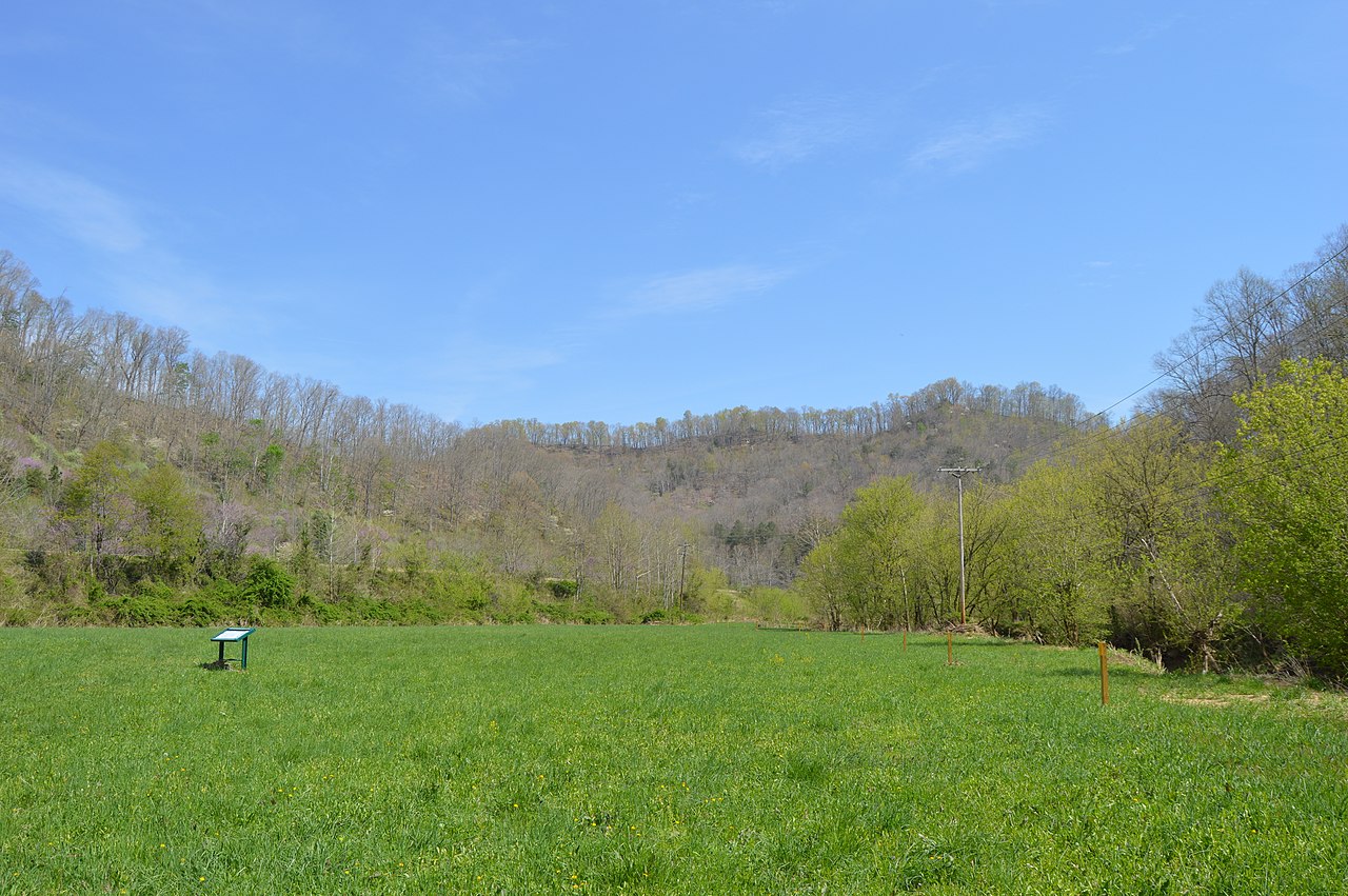
English: Looking northeast in the eastern section of the Middle Creek Battlefield, located west of Prestonsburg in Floyd County, Kentucky, United States. The hill in the distance was Union Colonel James Garfield's command post, while the Confederate position was on the hillside and hilltop barely visible to the far right. Fought here in early 1862, Middle Creek was one of the most decisive battles of the Civil War in eastern Kentucky. The site has been designated a National Historic Landmark. |
||
| 日期 | 摄于2014年4月21日 | ||
| 来源 | 自己的作品 | ||
| 作者 | Nyttend | ||
| 授权 (二次使用本文件) |
|
文件历史
点击某个日期/时间查看对应时刻的文件。
| 日期/时间 | 缩略图 | 大小 | 用户 | 备注 | |
|---|---|---|---|---|---|
| 当前 | 2014年5月4日 (日) 21:19 | | 6,016 × 4,000(6.22 MB) | Nyttend | {{NRHP|91001665}} {{Location|37|39|4|N|82|48|44|W}} {{Information |Description={{en|Looking northeast in the eastern section of the {{w|Battle of Middle Creek|Middle Creek Battlefield}}, located west of {{w|Prestonsburg, Kentucky|Prestonsburg}} in {{w|... |
文件用途
以下页面使用本文件:
全域文件用途
以下其他wiki使用此文件:
- de.wikipedia.org上的用途
- en.wikipedia.org上的用途
- en.wikivoyage.org上的用途
- he.wikipedia.org上的用途
- nl.wikipedia.org上的用途
- www.wikidata.org上的用途