File:MinasGerais Municip Camanducaia.svg

此SVG文件的PNG预览的大小:747 × 599像素。 其他分辨率:299 × 240像素 | 598 × 480像素 | 957 × 768像素 | 1,276 × 1,024像素 | 2,552 × 2,048像素 | 2,147 × 1,723像素。
原始文件 (SVG文件,尺寸为2,147 × 1,723像素,文件大小:2.9 MB)

|
Standardization of derivative maps
Feel free to create derivations of this work, but if you want to illustrate a Wikipedia article with derivative works of this or similar maps of Brazil, please strictly follow the visual standard, nomenclature and classification already in use. All maps of Brazilian subdivisions are being adaptated or created in this way. We do not want to inhibit creativity but the pattern adopted here was presented and accepted by the Lusophone community and should be followed whenever possible. |
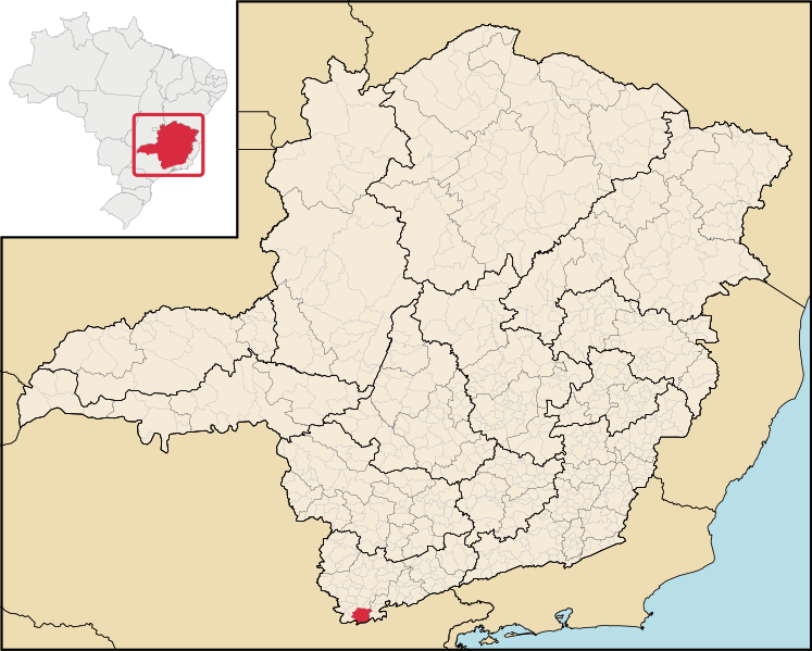
| 描述 | Map locator of Minas Gerais's Camanducaia city | ||||||||
| 日期 | |||||||||
| 来源 | Image:MinasGerais MesoMicroMunicip.svg, own work | ||||||||
| 作者 | Raphael Lorenzeto de Abreu | ||||||||
| 授权 (二次使用本文件) |
我,本作品著作权人,特此采用以下许可协议发表本作品:
您可以选择您需要的许可协议。 |

文件历史
点击某个日期/时间查看对应时刻的文件。
| 日期/时间 | 缩略图 | 大小 | 用户 | 备注 | |
|---|---|---|---|---|---|
| 当前 | 2020年8月13日 (四) 12:37 | | 2,147 × 1,723(2.9 MB) | Apollo BR | Atualização das mesorregiões e microrregiões de Minas Gerais para regiões geográficas intermediárias e regiões geográficas imediatas, respectivamente, segundo nova classificação do IBGE de 2017. Fonte: IBGE 2017 <https://www.ibge.gov.br/apps/regioes_geograficas/> Base Cartográfica: IBGE 2019 <https://www.ibge.gov.br/geociencias/organizacao-do-territorio/15774-malhas.html?=&t=downloads> Elaboração: Trabalho próprio, com o software QGIS. Formatação das camadas: MINAS GERAIS: borda= 0,66 mm... |
| 2006年8月28日 (一) 05:52 |  | 914 × 709(1.91 MB) | Raphael.lorenzeto | {{Information| |Description=Map locator of a city in Minas Gerais (this description will be changed) |Source=Image:MinasGerais MesoMicroMunicip.svg, own work |Date=August 27, 2006 |Author=Raphael Lorenzeto de Abreu |Permission={{self2|GFDL|cc-by-2.5} |
文件用途
以下页面使用本文件:
全域文件用途
以下其他wiki使用此文件:
- bpy.wikipedia.org上的用途
- de.wikipedia.org上的用途
- en.wikipedia.org上的用途
- eo.wikipedia.org上的用途
- eu.wikipedia.org上的用途
- fa.wikipedia.org上的用途
- it.wikipedia.org上的用途
- ka.wikipedia.org上的用途
- nl.wikipedia.org上的用途
- no.wikipedia.org上的用途
- pt.wikipedia.org上的用途
- ro.wikipedia.org上的用途
- tt.wikipedia.org上的用途
- vi.wikipedia.org上的用途
- vo.wikipedia.org上的用途
- www.wikidata.org上的用途
- zh-min-nan.wikipedia.org上的用途