File:Norfolk UK location map.svg

此SVG文件的PNG预览的大小:800 × 497像素。 其他分辨率:320 × 199像素 | 640 × 398像素 | 1,024 × 637像素 | 1,280 × 796像素 | 2,560 × 1,592像素 | 1,425 × 886像素。
原始文件 (SVG文件,尺寸为1,425 × 886像素,文件大小:1.93 MB)
| 描述 |
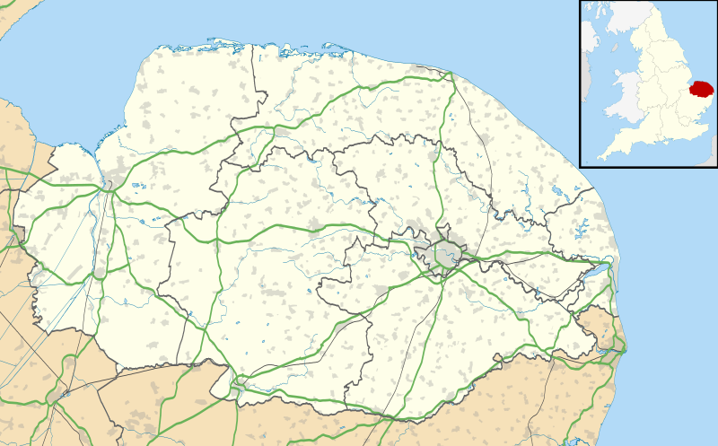
Map of Norfolk, UK with the following information shown:
Equirectangular map projection on WGS 84 datum, with N/S stretched 160% Geographic limits:
|
| 日期 | |
| 来源 |
|
| 作者 | Nilfanion, created using Ordnance Survey data |
| 授权 (二次使用本文件) |
本文件采用知识共享署名-相同方式共享 3.0 未本地化版本许可协议授权。 署名: Contains Ordnance Survey data © Crown copyright and database right
|
| 其他版本 | File:Norfolk UK district map (blank).svg - Blank map |
.svg)
文件历史
点击某个日期/时间查看对应时刻的文件。
| 日期/时间 | 缩略图 | 大小 | 用户 | 备注 | |
|---|---|---|---|---|---|
| 当前 | 2010年9月26日 (日) 19:05 | | 1,425 × 886(1.93 MB) | Nilfanion | {{Information |Description=Map of Norfolk, UK with the following information shown: *Administrative borders *Coastline, lakes and rivers *Roads and railways *Urban areas Equirectangular map projection on WGS 84 datum, with N/S stretched 160 |
文件用途
以下5个页面使用本文件:
全域文件用途
以下其他wiki使用此文件:
- af.wikipedia.org上的用途
- ar.wikipedia.org上的用途
- bg.wikipedia.org上的用途
- ceb.wikipedia.org上的用途
- cs.wikipedia.org上的用途
- en.wikipedia.org上的用途
- Barton Turf
- Great Yarmouth
- Wroxham
- Ingham, Norfolk
- Burgh Castle
- Horning
- Ranworth
- Blakeney, Norfolk
- Cley next the Sea
- Reedham, Norfolk
- Wayford Bridge
- Coltishall
- Dilham
- Neatishead
- Belaugh
- Woodbastwick
- South Walsham
- Martham
- Thurne
- Potter Heigham
- Caister-on-Sea
- Hunstanton
- King's Lynn
- Swaffham
- Sheringham
- St Benet's Abbey
- Loddon, Norfolk
- St Olaves
- Ditchingham
- Halvergate Marshes
- Strumpshaw
- Halvergate
- Wymondham
- Sheringham Park
- Snettisham
- Hoveton
- Salhouse
查看本文件的更多全域用途。