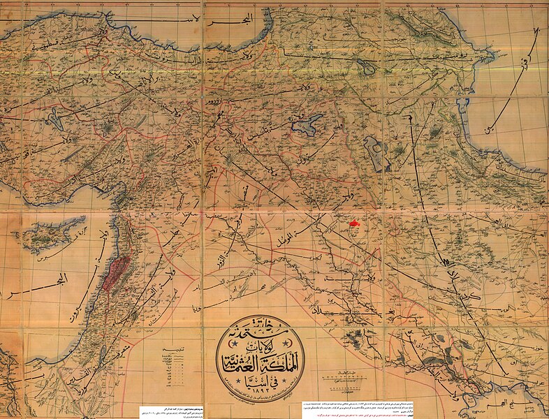
File:Osmanli Ortadogu.jpg

本预览的尺寸:786 × 600像素。 其他分辨率:315 × 240像素 | 629 × 480像素 | 1,006 × 768像素 | 1,280 × 977像素 | 2,560 × 1,954像素 | 7,374 × 5,629像素。
原始文件 (7,374 × 5,629像素,文件大小:9.42 MB,MIME类型:image/jpeg)
文件历史
点击某个日期/时间查看对应时刻的文件。
| 日期/时间 | 缩略图 | 大小 | 用户 | 备注 | |
|---|---|---|---|---|---|
| 当前 | 2009年3月19日 (四) 01:07 |  | 7,374 × 5,629(9.42 MB) | KureCewlik81 | {{Information |Description=Anatolien zu Zeit des osmanischen Reiches 1893 |Source= |Date= |Author= |Permission= |other_versions= }} |
文件用途
以下2个页面使用本文件:
全域文件用途
以下其他wiki使用此文件:
- ar.wikipedia.org上的用途
- azb.wikipedia.org上的用途
- az.wikipedia.org上的用途
- ckb.wikipedia.org上的用途
- de.wikipedia.org上的用途
- en.wikipedia.org上的用途
- fa.wikipedia.org上的用途
- ja.wikipedia.org上的用途
- ku.wikipedia.org上的用途
- mzn.wikipedia.org上的用途
- ru.wikipedia.org上的用途
- tr.wikipedia.org上的用途

