File:Plan de la Ville et des Environs de Dijon.jpg

本预览的尺寸:800 × 592像素。 其他分辨率:320 × 237像素 | 640 × 474像素 | 1,024 × 758像素 | 1,347 × 997像素。
原始文件 (1,347 × 997像素,文件大小:1.88 MB,MIME类型:image/jpeg)
摘要
| 描述 |
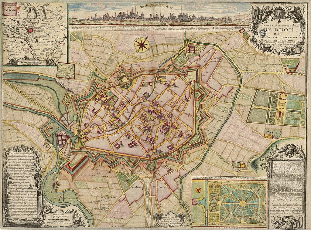
Français : Plan de la Ville et des Environs de Dijon (1730) |
| 日期 | |
| 来源 | http://catalogue.bnf.fr/ark:/12148/cb40635367f |
| 作者 | Denoinville (architecte et ingénieur) Cartographe & Beaurain Jean Cartographe. Graveur & Gambu André (arpenteur) Cartographe & Inselin Charles Graveur |
许可协议
| Previous public domain rationale, no longer applicable | ||
|---|---|---|
|
文件历史
点击某个日期/时间查看对应时刻的文件。
| 日期/时间 | 缩略图 | 大小 | 用户 | 备注 | |
|---|---|---|---|---|---|
| 当前 | 2013年6月19日 (三) 17:11 | | 1,347 × 997(1.88 MB) | François de Dijon | User created page with UploadWizard |
文件用途
以下页面使用本文件: