File:Red.brick.flats.london.arp.jpg
本预览的尺寸:800 × 538像素。 其他分辨率:320 × 215像素 | 640 × 430像素 | 1,024 × 688像素 | 1,280 × 860像素 | 2,062 × 1,386像素。
原始文件 (2,062 × 1,386像素,文件大小:503 KB,MIME类型:image/jpeg)
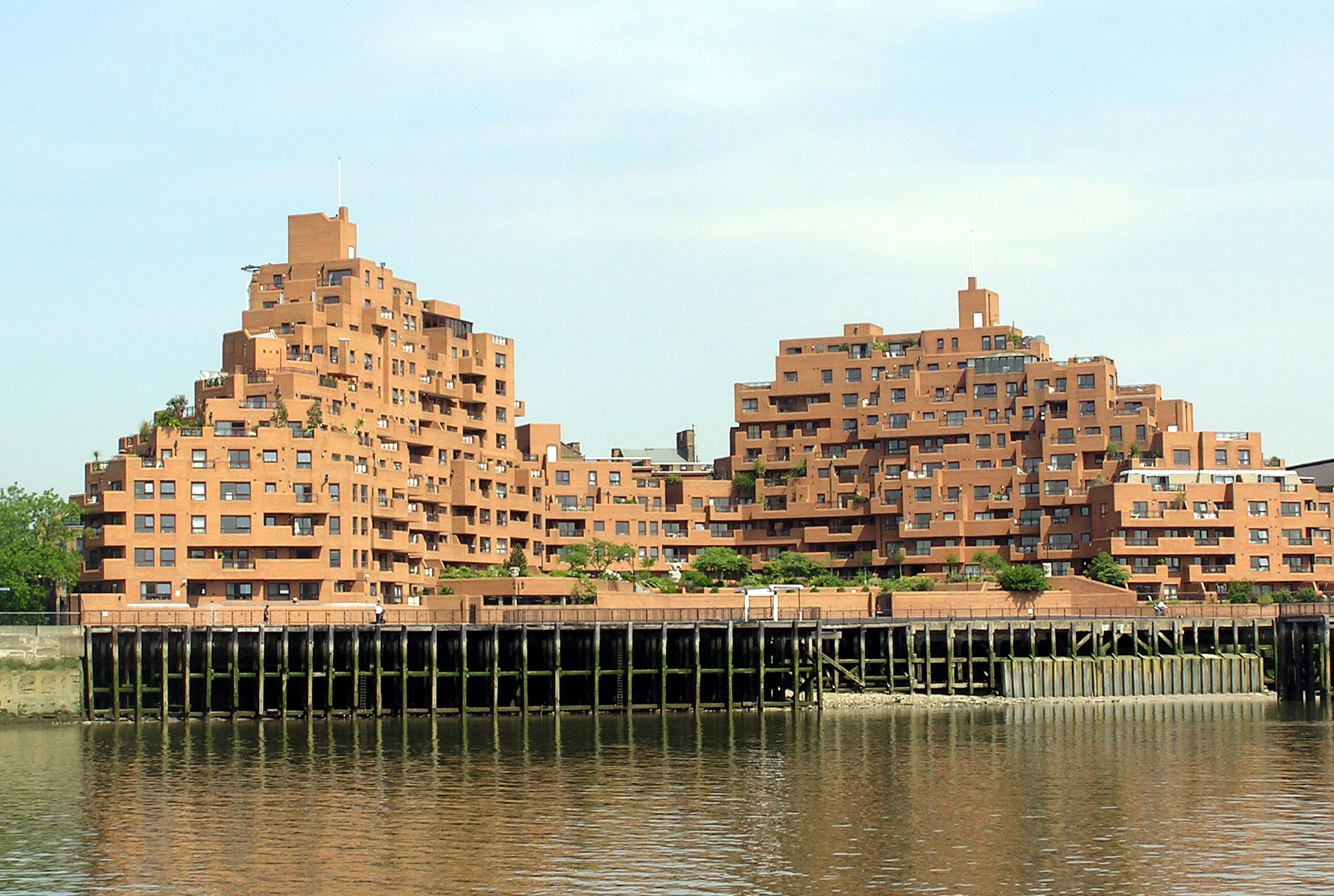
Free Trade Wharf, a development of 208 flats and two commercial units located on the North bank of the River Thames approximately one mile East of Tower Bridge. 340 The Highway, London Borough of Tower Hamlets E1W 3ET
- Origional description Red brick flats in central London, on the north bank of the Thames (a more detailed location is not known)
Photographed by Adrian Pingstone in June 2005 and released to the public domain.
| 本作品已被作者Arpingstone释出到公有领域。这适用于全世界。 在一些国家这可能不合法;如果是这样的话,那么: |
| 相机位置 | | 在以下服务上查看本图像和附近其他图像: OpenStreetMap |
|---|
文件历史
点击某个日期/时间查看对应时刻的文件。
| 日期/时间 | 缩略图 | 大小 | 用户 | 备注 | |
|---|---|---|---|---|---|
| 当前 | 2005年6月24日 (五) 19:26 | | 2,062 × 1,386(503 KB) | Arpingstone | London flats |
文件用途
以下页面使用本文件:
全域文件用途
以下其他wiki使用此文件:
- en.wikipedia.org上的用途
- fr.wikipedia.org上的用途
- hy.wikipedia.org上的用途
- mn.wikipedia.org上的用途
- ms.wikipedia.org上的用途
- ta.wikipedia.org上的用途
- tr.wikipedia.org上的用途