File:SantaCatarina MesoMicroMunicip.svg

此SVG文件的PNG预览的大小:800 × 535像素。 其他分辨率:320 × 214像素 | 640 × 428像素 | 1,024 × 685像素 | 1,280 × 856像素 | 2,560 × 1,711像素 | 1,481 × 990像素。
原始文件 (SVG文件,尺寸为1,481 × 990像素,文件大小:662 KB)

|
Standardization of derivative maps
Feel free to create derivations of this work, but if you want to illustrate a Wikipedia article with derivative works of this or similar maps of Brazil, please strictly follow the visual standard, nomenclature and classification already in use. All maps of Brazilian subdivisions are being adaptated or created in this way. We do not want to inhibit creativity but the pattern adopted here was presented and accepted by the Lusophone community and should be followed whenever possible. |
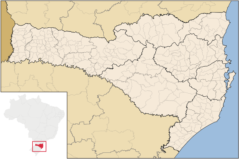
| 描述 | Map of Santa Catarina state |
| 日期 | |
| 来源 | 自己的作品 |
| 作者 | Raphael Lorenzeto de Abreu |
| 授权 (二次使用本文件) |
我,本作品著作权人,特此采用以下许可协议发表本作品: 本文件采用知识共享署名-相同方式共享 3.0 未本地化版本许可协议授权。
|
| 其他版本 | 此文件衍生的作品: Brazil Santa Catarina location map.svg |
文件历史
点击某个日期/时间查看对应时刻的文件。
| 日期/时间 | 缩略图 | 大小 | 用户 | 备注 | |
|---|---|---|---|---|---|
| 当前 | 2006年9月8日 (五) 04:52 | | 1,481 × 990(662 KB) | Raphael.lorenzeto | |
| 2006年6月2日 (五) 10:47 |  | 943 × 691(613 KB) | Raphael.lorenzeto | {{User:Raphael.lorenzeto/DerivativeMaps}} {{Information| |Description=Map of Santa Catarina state |Source=own work |Date=June, 2 2006 |Author=Raphael Lorenzeto de Abreu |Permission={{self2|GFDL|cc-by-2.5}} |other_versions= }} [[Category:Maps of Santa Cata |
文件用途
以下7个页面使用本文件:
全域文件用途
以下其他wiki使用此文件:
- br.wikipedia.org上的用途
- eo.wikipedia.org上的用途
- es.wikipedia.org上的用途
- et.wikipedia.org上的用途
- fi.wikipedia.org上的用途
- fr.wikipedia.org上的用途
- oc.wikipedia.org上的用途
- Florianópolis
- Joinville (Santa Catarina)
- Balneário Camboriú
- Blumenau
- Itajaí
- Araranguá
- Biguaçu
- Chapecó
- Criciúma
- Abdon Batista (Santa Catarina)
- Abelardo Luz
- Agrolândia
- Agronômica
- Alfredo Wagner
- Alto Bela Vista
- Anchieta (Santa Catarina)
- Angelina (Santa Catarina)
- Anita Garibaldi (Santa Catarina)
- Anitápolis
- Antônio Carlos (Santa Catarina)
- Apiúna
- Arabutã
- Araquari
- Armazém (Santa Catarina)
- Arroio Trinta
- Arvoredo
- Ascurra
- Aurora (Santa Catarina)
- Balneário Arroio do Silva
- Balneário Barra do Sul
- Balneário Gaivota
- Balneário Piçarras
- Bandeirante (Santa Catarina)
- Barra Bonita (Santa Catarina)
- Barra Velha
- Bela Vista do Toldo
查看本文件的更多全域用途。