File:Santa Isabel Island Topography.png

本预览的尺寸:800 × 554像素。 其他分辨率:320 × 222像素 | 640 × 443像素 | 1,024 × 709像素 | 1,280 × 886像素 | 2,789 × 1,931像素。
原始文件 (2,789 × 1,931像素,文件大小:1.37 MB,MIME类型:image/png)
摘要
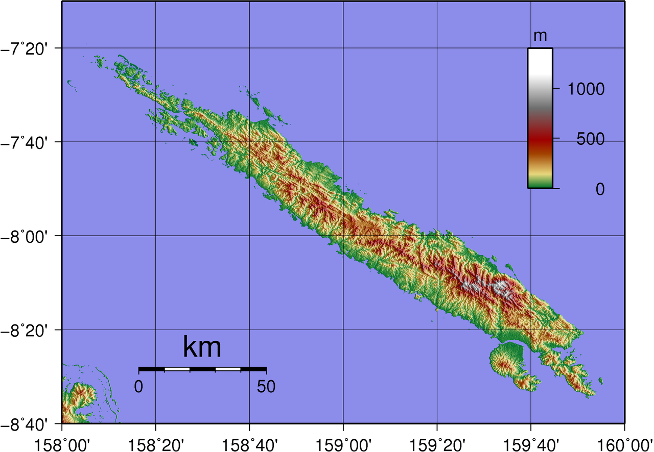
| 描述 | Topographical map of Santa Isabel in Solomon Islands. |
| 日期 | |
| 来源 | Created with GMT from publicly available SRTM data |
| 作者 | Sadalmelik |
许可协议
| 我,本作品著作权人,释出本作品至公有领域。这适用于全世界。 在一些国家这可能不合法;如果是这样的话,那么: 我无条件地授予任何人以任何目的使用本作品的权利,除非这些条件是法律规定所必需的。 |
文件历史
点击某个日期/时间查看对应时刻的文件。
| 日期/时间 | 缩略图 | 大小 | 用户 | 备注 | |
|---|---|---|---|---|---|
| 当前 | 2007年6月3日 (日) 11:42 | | 2,789 × 1,931(1.37 MB) | Sadalmelik | {{Information |Description=Topographical map of Santa Isabel in Solomon Islands. |Source=Created with GMT from publicly available SRTM data |Date=June 3, 2007 |Author= User:Sadalmelik }} Category:Maps of Solomon Islands |
文件用途
以下页面使用本文件:
全域文件用途
以下其他wiki使用此文件:
- cs.wikipedia.org上的用途
- de.wikipedia.org上的用途
- en.wikipedia.org上的用途
- es.wikipedia.org上的用途
- fr.wikipedia.org上的用途
- it.wikipedia.org上的用途
- ja.wikipedia.org上的用途
- ka.wikipedia.org上的用途
- lt.wikipedia.org上的用途
- mn.wikipedia.org上的用途
- pl.wikipedia.org上的用途
- pt.wikipedia.org上的用途
- ru.wikipedia.org上的用途
- sv.wikipedia.org上的用途
- vi.wikipedia.org上的用途