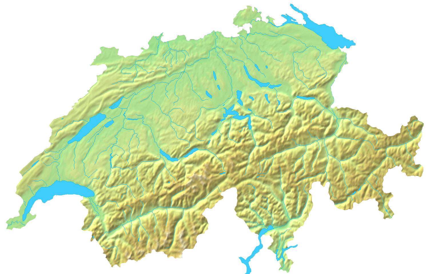
File:Switzerland topographic.png
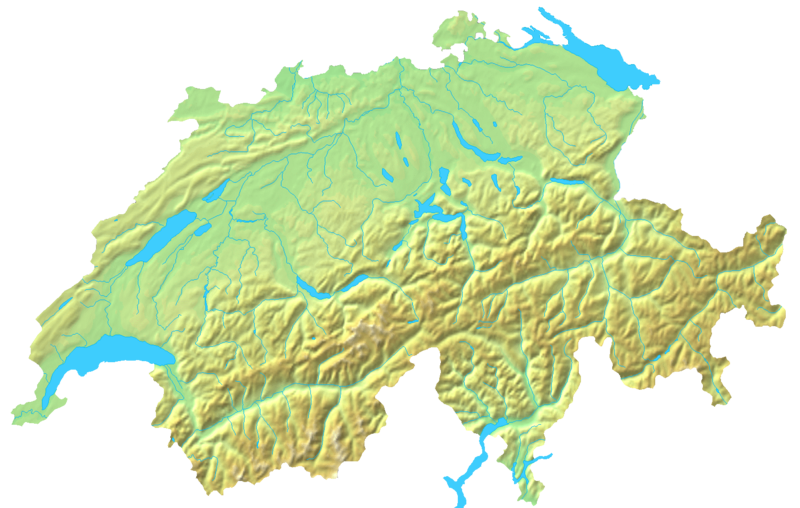
本预览的尺寸:800 × 508像素。 其他分辨率:320 × 203像素 | 640 × 407像素 | 1,024 × 651像素 | 1,508 × 958像素。
原始文件 (1,508 × 958像素,文件大小:1.74 MB,MIME类型:image/png)
摘要
| 描述 | Blanc topographic Map of Switzerland / Relief-Karte der Schweiz (blanko) |
| 日期 | |
| 来源 | Map created from DEMIS Mapserver, which are public domain. |
| 作者 | User:Numerus Klausus / de:Benutzer:Lirum Larum |
| 其他版本 | 此文件衍生的作品: Topographic map of Battle of Winterthur 1799.png |
许可协议
| 我,本作品著作权人,释出本作品至公有领域。这适用于全世界。 在一些国家这可能不合法;如果是这样的话,那么: 我无条件地授予任何人以任何目的使用本作品的权利,除非这些条件是法律规定所必需的。 |
文件历史
点击某个日期/时间查看对应时刻的文件。
| 日期/时间 | 缩略图 | 大小 | 用户 | 备注 | |
|---|---|---|---|---|---|
| 当前 | 2007年4月16日 (一) 19:05 | | 1,508 × 958(1.74 MB) | Numerus Klausus | {{Information |Description=Blanc topographic Map of Switzerland / Relief-Karte der Schweiz (blanko) |Source= Map created from [http://www2.demis.nl/mapserver/mapper.asp DEMIS Mapserver], which are public domain. |Date= 2007 |Author= [[User:Numerus Klausus |
文件用途
以下2个页面使用本文件:
全域文件用途
以下其他wiki使用此文件:
- en.wikipedia.org上的用途
- fr.wikipedia.org上的用途
- uk.wikipedia.org上的用途