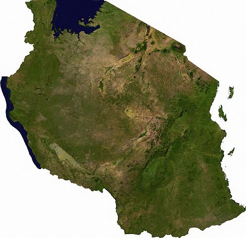
File:Tanzania sat.JPG

本预览的尺寸:620 × 599像素。 其他分辨率:248 × 240像素 | 497 × 480像素 | 795 × 768像素 | 1,060 × 1,024像素 | 1,336 × 1,291像素。
原始文件 (1,336 × 1,291像素,文件大小:1.23 MB,MIME类型:image/jpeg)
ECW to TIFF to PNG (compression level 9).
| This file is in the public domain, because it was generated by a user, using free sources available at The Map Library.
Note that this does not include the maps in the Global Administrative Areas section of the homepage. |
文件历史
点击某个日期/时间查看对应时刻的文件。
| 日期/时间 | 缩略图 | 大小 | 用户 | 备注 | |
|---|---|---|---|---|---|
| 当前 | 2006年12月5日 (二) 06:42 | | 1,336 × 1,291(1.23 MB) | Moyogo | ECW to TIFF to PNG (compression level 9). {{PD-MapLibrary}} |
文件用途
以下页面使用本文件:
全域文件用途
以下其他wiki使用此文件:
- af.wikipedia.org上的用途
- avk.wikipedia.org上的用途
- azb.wikipedia.org上的用途
- bn.wikipedia.org上的用途
- de.wikipedia.org上的用途
- en.wikipedia.org上的用途
- fa.wikipedia.org上的用途
- hr.wikipedia.org上的用途
- hu.wikipedia.org上的用途
- ka.wikipedia.org上的用途
- mdf.wikipedia.org上的用途
- ro.wikipedia.org上的用途
- sl.wikipedia.org上的用途
- sw.wikipedia.org上的用途
- uk.wikipedia.org上的用途
- www.wikidata.org上的用途