File:The Ancient Roads of Italy and Sicily nopng.svg

原始文件 (SVG文件,尺寸为1,201 × 1,340像素,文件大小:245 KB)
摘要
| 描述 |
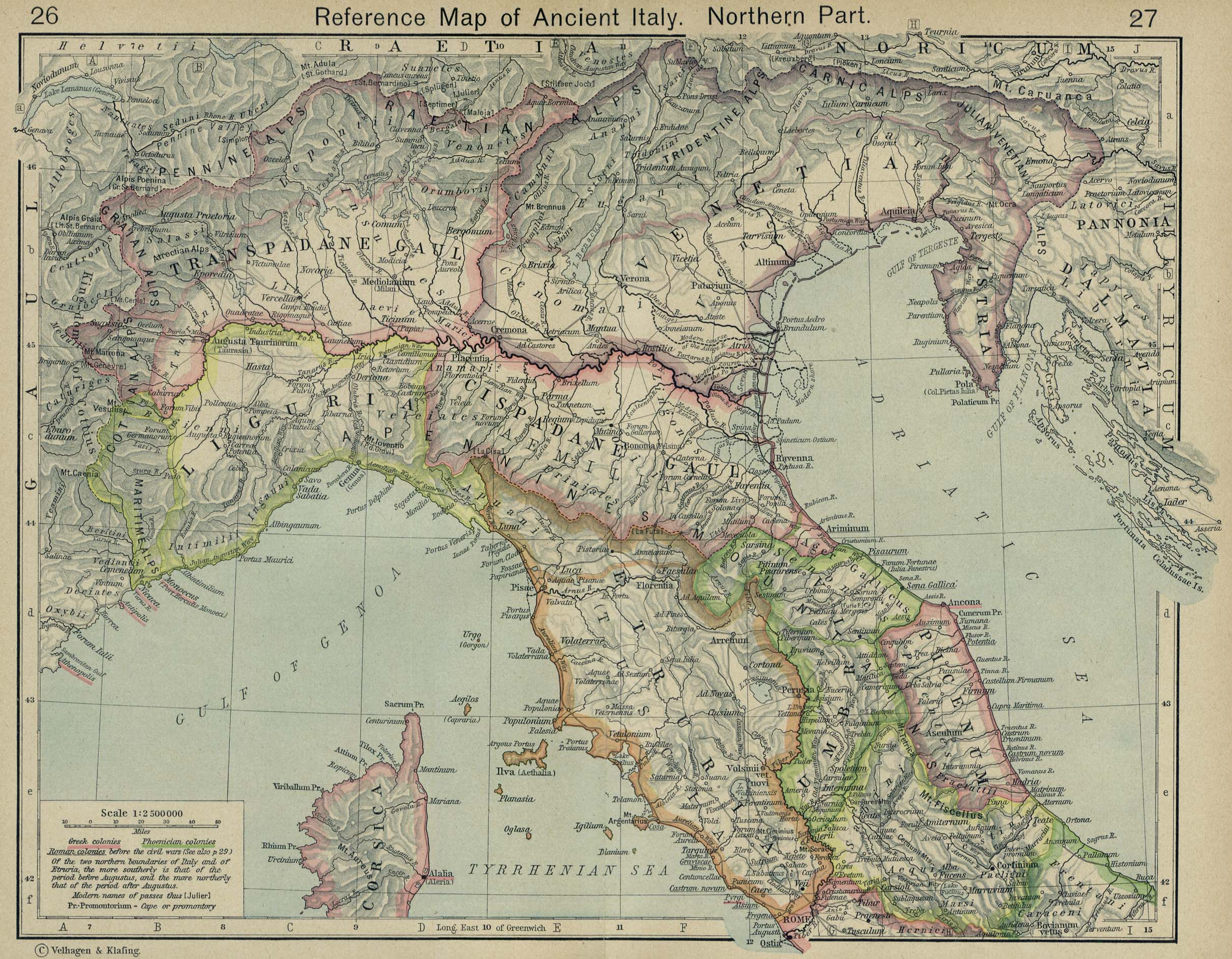
English: The major roads of Italy (going from Rome) are as follows, going clockwise from the left:
Corrections and additions are welcome! |
||
| 日期 | |||
| 来源 | 自己的作品 | ||
| 作者 | Agamemnus | ||
| 其他版本 |
|

许可协议
| 我,本作品著作权人,释出本作品至公有领域。这适用于全世界。 在一些国家这可能不合法;如果是这样的话,那么: 我无条件地授予任何人以任何目的使用本作品的权利,除非这些条件是法律规定所必需的。 |
文件历史
点击某个日期/时间查看对应时刻的文件。
| 日期/时间 | 缩略图 | 大小 | 用户 | 备注 | |
|---|---|---|---|---|---|
| 当前 | 2020年4月24日 (五) 01:24 | | 1,201 × 1,340(245 KB) | Ciaurlec | Changed alpha channel values to make it lighter |
| 2010年2月20日 (六) 08:07 |  | 1,201 × 1,340(245 KB) | Agamemnus | Bringing back a road that went missing. | |
| 2010年2月13日 (六) 04:25 |  | 1,201 × 1,340(239 KB) | Agamemnus | One more color change. | |
| 2010年2月13日 (六) 04:19 |  | 1,201 × 1,340(239 KB) | Agamemnus | Color change.. | |
| 2010年2月13日 (六) 04:14 |  | 1,201 × 1,340(239 KB) | Agamemnus | Minor road edit. | |
| 2010年2月13日 (六) 04:04 |  | 1,201 × 1,340(238 KB) | Agamemnus | Added a little compass showing north. Added a scale strip next to the compass. Changed Via Tiburtina color to dark purple. | |
| 2010年2月9日 (二) 18:05 |  | 1,201 × 1,340(230 KB) | Agamemnus | Moved the italy/sicily svg down so the roads could be seen again... | |
| 2010年2月9日 (二) 08:18 |  | 1,201 × 1,340(230 KB) | Agamemnus | Teh Sicily portion of the SVG is now more detailed. | |
| 2010年2月9日 (二) 05:16 |  | 1,201 × 1,340(220 KB) | Agamemnus | {{Information |Description={{en|1=The major roads of Italy (going from Rome) are as follows, going clockwise from the left: Green: Via Aurelia -> Via Aumelia Scaura -> Via Julia Augusta Bright green: Via Clodia Yellow: Via Cassia Blue: Via Flaminia Grey: |
文件用途
以下页面使用本文件:
全域文件用途
以下其他wiki使用此文件:
- ca.wikipedia.org上的用途
- en.wikipedia.org上的用途
- fr.wikipedia.org上的用途
- la.wikipedia.org上的用途
- sq.wikipedia.org上的用途
- uk.wikipedia.org上的用途