File:Treaty of Accession 1972 European Communities map.svg

此SVG文件的PNG预览的大小:680 × 520像素。 其他分辨率:314 × 240像素 | 628 × 480像素 | 1,004 × 768像素 | 1,280 × 979像素 | 2,560 × 1,958像素。
原始文件 (SVG文件,尺寸为680 × 520像素,文件大小:462 KB)
摘要
| 描述 |
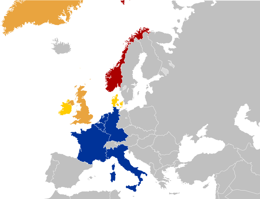
English: Map for the Treaty of Accession 1972
|
| 日期 | |
| 来源 | File:EC09-1973 European Community map enlargement.svg |
| 作者 | User:Kolja21 |
许可协议
本文件采用知识共享署名 3.0 未本地化版本许可协议授权。
- 您可以自由地:
- 共享 – 复制、发行并传播本作品
- 修改 – 改编作品
- 惟须遵守下列条件:
- 署名 – 您必须对作品进行署名,提供授权条款的链接,并说明是否对原始内容进行了更改。您可以用任何合理的方式来署名,但不得以任何方式表明许可人认可您或您的使用。
文件历史
点击某个日期/时间查看对应时刻的文件。
| 日期/时间 | 缩略图 | 大小 | 用户 | 备注 | |
|---|---|---|---|---|---|
| 当前 | 2023年6月15日 (四) 16:27 | | 680 × 520(462 KB) | Sbb1413 | Greenland |
| 2023年6月15日 (四) 16:23 |  | 680 × 520(462 KB) | Sbb1413 | added red stripes for the UK | |
| 2013年5月4日 (六) 06:34 |  | 680 × 520(511 KB) | Gimelthedog | User created page with UploadWizard |
文件用途
以下2个页面使用本文件:
全域文件用途
以下其他wiki使用此文件:
- en.wikipedia.org上的用途
- fr.wikipedia.org上的用途
- he.wikipedia.org上的用途
- nl.wikipedia.org上的用途
- uk.wikipedia.org上的用途
- www.wikidata.org上的用途