File:VyborgBay.jpg

本预览的尺寸:542 × 599像素。 其他分辨率:217 × 240像素 | 608 × 672像素。
原始文件 (608 × 672像素,文件大小:145 KB,MIME类型:image/jpeg)
| 描述 |
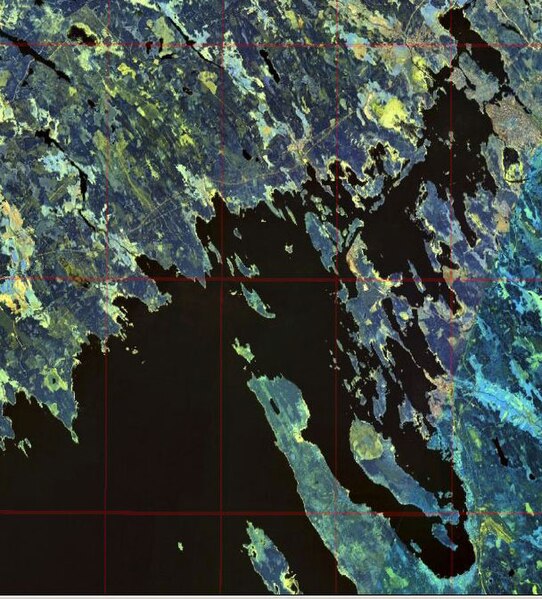
English: Gulf of Finland. Eastern shore of the Bay of Vyborg
Русский: Финский залив. Восточный берег Выборгского залива
Suomi: Suomenlahti.
Eesti: Soome laht.
Svenska: Finska viken.
Deutsch: Finnische Meerbusen. |
|||
| 日期 | ||||
| 来源 | NASA World Wind | |||
| 作者 | NASA | |||
| 授权 (二次使用本文件) |
|

文件历史
点击某个日期/时间查看对应时刻的文件。
| 日期/时间 | 缩略图 | 大小 | 用户 | 备注 | |
|---|---|---|---|---|---|
| 当前 | 2008年12月20日 (六) 16:47 | | 608 × 672(145 KB) | Colchicum~commonswiki | {{Information |Description={{en|1=en:Bay of Vyborg}} |Source=NASA World Wind |Author=NASA |Date=2004 |Permission={{PD-WorldWind}} |other_versions= }} <!--{{ImageUpload|full}}--> Category:Gulf of Finland Category:Karelian Isthmus [[Category:V |
文件用途
以下页面使用本文件:
全域文件用途
以下其他wiki使用此文件:
- cs.wikipedia.org上的用途
- en.wikipedia.org上的用途
- es.wikipedia.org上的用途
- et.wikipedia.org上的用途
- fi.wikipedia.org上的用途
- fr.wikipedia.org上的用途
- it.wikipedia.org上的用途
- ko.wikipedia.org上的用途
- lt.wikipedia.org上的用途
- pl.wikipedia.org上的用途
- pl.wiktionary.org上的用途
- pt.wikipedia.org上的用途
- ru.wikipedia.org上的用途
- sl.wikipedia.org上的用途
- sr.wikipedia.org上的用途