File:WatfordSkyline.jpg
本预览的尺寸:800 × 148像素。 其他分辨率:320 × 59像素 | 1,593 × 295像素。
原始文件 (1,593 × 295像素,文件大小:314 KB,MIME类型:image/jpeg)
摘要
| 描述 |
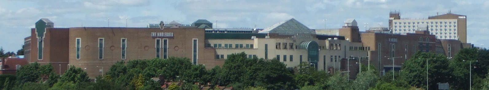
English: The town of Watford in Hertfordshire, England, UK, viewed from the West Coast Main Line to the southeast. |
| 来源 | 自己的作品 |
| 作者 | Kanguole |
| 相机位置 | | 在以下服务上查看本图像和附近其他图像: OpenStreetMap |
|---|
_region:GB-HRT_&language=zh)
许可协议
| 我,本作品著作权人,释出本作品至公有领域。这适用于全世界。 在一些国家这可能不合法;如果是这样的话,那么: 我无条件地授予任何人以任何目的使用本作品的权利,除非这些条件是法律规定所必需的。 |
文件历史
点击某个日期/时间查看对应时刻的文件。
| 日期/时间 | 缩略图 | 大小 | 用户 | 备注 | |
|---|---|---|---|---|---|
| 当前 | 2008年6月23日 (一) 12:30 | 1,593 × 295(314 KB) | Kanguole | {{Information |Description=The town of Watford in Hertfordshire, England, UK, viewed from the West Coast Main Line to the southeast |Source= |Date=2008-06-23 |Author=Kanguole |Permission= |other_versions= }} Category:Watford | |
| 2008年6月19日 (四) 11:03 | 1,106 × 175(125 KB) | Kanguole | {{Information |Description={{en|1=The town of Watford in Hertfordshire, England, UK, viewed from the West Coast Main Line to the southeast.}} |Source=Own work by uploader |Author=Kanguole |Date= |Permission= |other_versions= }} {{locatio |
文件用途
以下页面使用本文件:
全域文件用途
以下其他wiki使用此文件:
- ceb.wikipedia.org上的用途
- de.wikipedia.org上的用途
- eo.wikipedia.org上的用途
- fa.wikipedia.org上的用途
- he.wikipedia.org上的用途
- hu.wikipedia.org上的用途
- id.wikipedia.org上的用途
- nn.wikipedia.org上的用途
- pl.wikipedia.org上的用途
- pl.wikivoyage.org上的用途
- pt.wikipedia.org上的用途
- sco.wikipedia.org上的用途
- sv.wikipedia.org上的用途
- szl.wikipedia.org上的用途
- ur.wikipedia.org上的用途
- war.wikipedia.org上的用途