File:1864 Mitchell Map of India, Tibet, China and Southeast Asia - Geographicus - India-mitchell-1864.jpg

本预览的尺寸:737 × 600像素。 其他分辨率:295 × 240像素 | 590 × 480像素 | 944 × 768像素 | 1,259 × 1,024像素 | 2,518 × 2,048像素 | 4,000 × 3,254像素。
原始文件 (4,000 × 3,254像素,文件大小:2.79 MB,MIME类型:image/jpeg)
| 塞繆爾·奧古斯都·米切爾:Map of Hindoostan, Farther India, China, and Tibet.
( |
||||||
|---|---|---|---|---|---|---|
| 艺术家 | ||||||
| 标题 |
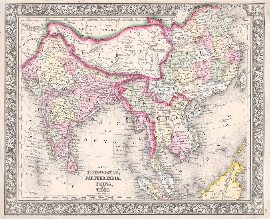
Map of Hindoostan, Farther India, China, and Tibet. |
|||||
| 描述 |
English: A beautiful example of S. A. Mitchell Jr.’s 1864 map of the India, Tibet, China and Southeast Asia, including Burma, Thailand, Cambodia, and Vietnam. Covers the region in considerable detail with parts of Malaysia, Sumatra, and Borneo included. One of the most attractive American atlas maps of this region to appear in the mid 19th century. Features the floral border typical of Mitchell maps from the 1860-65 period. Prepared by W. Williams for inclusion as plate 80 in the 1864 issue of Mitchell’s New General Atlas . Dated and copyrighted, “Entered according to Act of Congress in the Year 1860 by S. Augustus Mitchell in the Clerk’s Office of the District Court of the U.S. for the Eastern District of Pennsylvania. |
|||||
| 日期 | 1860年 (dated) | |||||
| 尺寸 | 高度:11.5英寸(29.2厘米);寬度:13.7英寸(34.9厘米) | |||||
| 登录号 |
Geographicus link: India-mitchell-1864 |
|||||
| 来源/摄影师 |
Mitchell's New General Atlas, containing Maps of the Various Countries of the World, Plans of Cities, Etc., Embraced in Fifty-three Quarto Maps, forming a series of Eighty-Four Map and Plans, together with Valuable Statistical Tables. (1864 Edition)
|
|||||
| 授权 (二次使用本文件) |
|
|||||
| 其他版本 | ||||||
.jpg)
文件历史
点击某个日期/时间查看对应时刻的文件。
| 日期/时间 | 缩略图 | 大小 | 用户 | 备注 | |
|---|---|---|---|---|---|
| 当前 | 2011年3月16日 (三) 14:17 | | 4,000 × 3,254(2.79 MB) | BotMultichill | {{subst:User:Multichill/Geographicus |link=http://www.geographicus.com/P/AntiqueMap/India-mitchell-1864 |product_name=1864 Mitchell Map of India, Tibet, China and Southeast Asia |map_title=Map of Hindoostan, Farther India, China, and Tibet. |description=A |
文件用途
以下3个页面使用本文件:
全域文件用途
以下其他wiki使用此文件:
- ca.wikipedia.org上的用途
- en.wikipedia.org上的用途
- en.wiktionary.org上的用途
- fr.wikipedia.org上的用途
- hi.wikipedia.org上的用途
- id.wikipedia.org上的用途
- it.wikipedia.org上的用途
- ms.wikipedia.org上的用途
- nl.wikipedia.org上的用途
- pt.wikipedia.org上的用途
- sh.wikipedia.org上的用途
- te.wikipedia.org上的用途
- vi.wikipedia.org上的用途