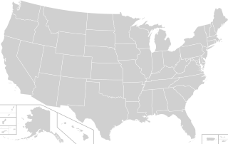
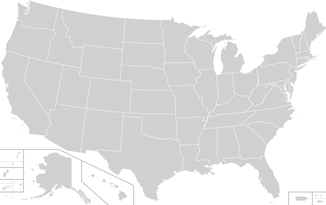
File:Blank USA, w territories 2.svg

此SVG文件的PNG预览的大小:800 × 503像素。 其他分辨率:320 × 201像素 | 640 × 402像素 | 1,024 × 643像素 | 1,280 × 804像素 | 2,560 × 1,609像素 | 958 × 602像素。
原始文件 (SVG文件,尺寸为958 × 602像素,文件大小:191 KB)
摘要
| 描述 |
English: A blank map of the United States including the five inhabited territories (American Samoa, Guam, the Northern Mariana Islands, Puerto Rico, and the US Virgin Islands) Map is similar to File:Blank USA, w territories.svg but with several improvements, including:
|
| 日期 | |
| 来源 | 26 April 2020 version of File:Blank USA, w territories.svg |
| 作者 | Heitordp |
| 其他版本 | Blank US Map (states only) 2.svg (same map but with territories removed) |
_2.svg)
许可协议

|
已授权您依据自由软件基金会发行的无固定段落及封面封底文字(Invariant Sections, Front-Cover Texts, and Back-Cover Texts)的GNU自由文件许可协议1.2版或任意后续版本的条款,复制、传播和/或修改本文件。该协议的副本请见“GNU Free Documentation License”。 |
| 本文件采用知识共享署名-相同方式共享 3.0 未本地化版本许可协议授权。 | ||
| ||
| 本许可协议标签作为GFDL许可协议更新的组成部分被添加至本文件。 |
文件历史
点击某个日期/时间查看对应时刻的文件。
| 日期/时间 | 缩略图 | 大小 | 用户 | 备注 | |
|---|---|---|---|---|---|
| 当前 | 2022年5月29日 (日) 06:14 | | 958 × 602(191 KB) | Heitordp | Corrected Fishers Island, NY |
| 2020年11月22日 (日) 06:16 |  | 958 × 602(191 KB) | Heitordp | Simplified code and reduced file size | |
| 2020年5月22日 (五) 23:11 |  | 958 × 602(217 KB) | Kaldari | Uploaded a work by Heitordp from April 26, 2020 version of File:Blank USA, w territories.svg with UploadWizard |
文件用途
没有页面链接到本图像。
全域文件用途
以下其他wiki使用此文件:
- en.wikipedia.org上的用途
- fr.wikipedia.org上的用途
- pcd.wikipedia.org上的用途