File:Borough of swindon - urban areas with names.png
本预览的尺寸:545 × 599像素。 其他分辨率:218 × 240像素 | 437 × 480像素 | 699 × 768像素 | 1,260 × 1,385像素。
原始文件 (1,260 × 1,385像素,文件大小:68 KB,MIME类型:image/png)
摘要
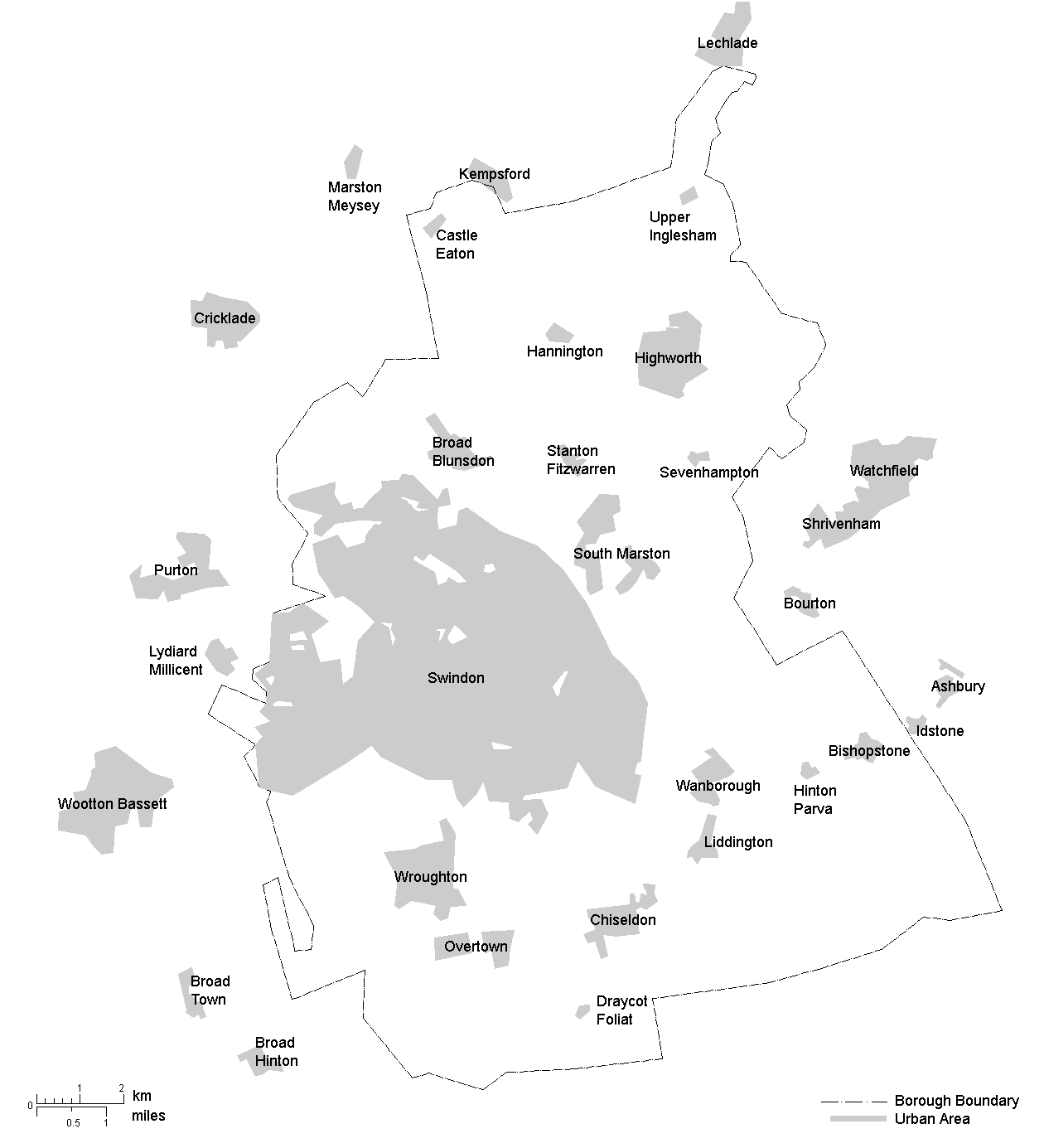
| 描述 | Outline map of the Borough of Swindon with Urban Areas shaded and Placenames |
| 日期 | |
| 来源 | 自己的作品 |
| 作者 | Foxhill |
| 授权 (二次使用本文件) |
All Rights Released |
许可协议
| 我,本作品著作权人,释出本作品至公有领域。这适用于全世界。 在一些国家这可能不合法;如果是这样的话,那么: 我无条件地授予任何人以任何目的使用本作品的权利,除非这些条件是法律规定所必需的。 |
文件历史
点击某个日期/时间查看对应时刻的文件。
| 日期/时间 | 缩略图 | 大小 | 用户 | 备注 | |
|---|---|---|---|---|---|
| 当前 | 2006年12月20日 (三) 21:36 | | 1,260 × 1,385(68 KB) | Foxhill | == Summary == {{Information |Description=Outline map of the Borough of Swindon with Urban Areas shaded and Placenames |Source=Own Work |Date=2006-12-20 |Author=Foxhill |Permission=All Rights Released }} [[Categ |
文件用途
以下页面使用本文件:
全域文件用途
以下其他wiki使用此文件:
- en.wikipedia.org上的用途
- it.wikipedia.org上的用途
- ro.wikipedia.org上的用途