File:Castle Acre Bailey Gate - geograph.org.uk - 1718512.jpg
本预览的尺寸:648 × 599像素。 其他分辨率:260 × 240像素 | 519 × 480像素 | 830 × 768像素 | 1,107 × 1,024像素 | 2,354 × 2,177像素。
原始文件 (2,354 × 2,177像素,文件大小:1.39 MB,MIME类型:image/jpeg)
This is a photo of listed building number 1077681. |
摘要
| 描述 |
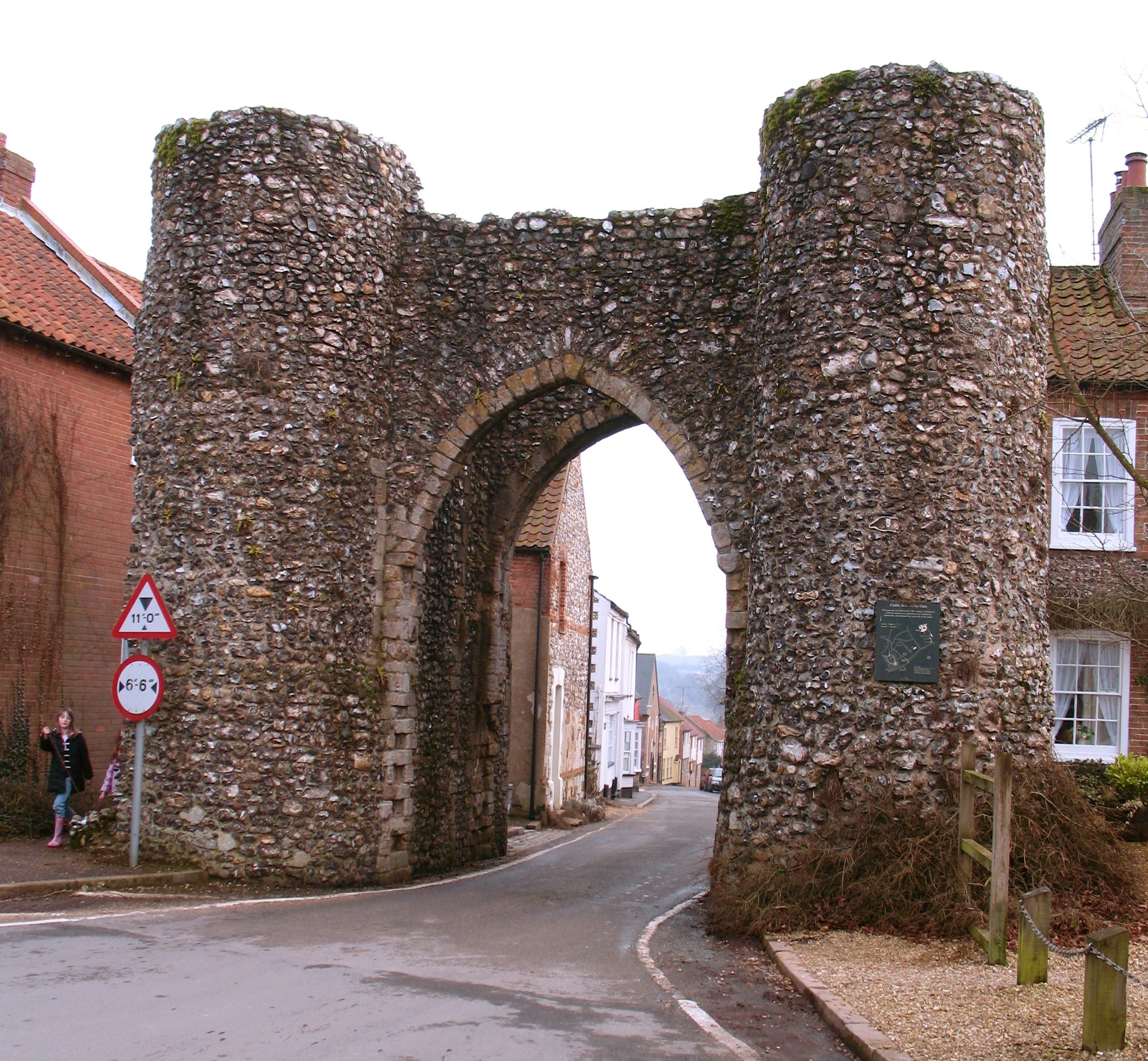
English: Castle Acre Bailey Gate Standing in the village High Street one would assume that this was once the gateway into the medieval town from the south, but this would be wrong as the original Norman walled settlement was to the south of the gate, stretching down the hillside towards the River Nar. |
| 日期 | |
| 来源 | From geograph.org.uk |
| 作者 | Gordon Hatton |
| 署名 (由许可协议要求) | Gordon Hatton / Castle Acre Bailey Gate / |
| 相机位置 | | 在以下服务上查看本图像和附近其他图像: OpenStreetMap |
|---|
_heading:112.00&language=zh)
| 物体位置 | | 在以下服务上查看本图像和附近其他图像: OpenStreetMap |
|---|
_heading:112.00&language=zh)
许可协议

|
本图像来自Geograph工程图集。摄影师的联系信息请见Geograph网站上该照片的页面。本图像的著作权人为Gordon Hatton,采用知识共享“署名-相同方式共享 2.0”许可协议授权二次使用。
|
本文件采用知识共享署名-相同方式共享 2.0 通用许可协议授权。
署名: Gordon Hatton
- 您可以自由地:
- 共享 – 复制、发行并传播本作品
- 修改 – 改编作品
- 惟须遵守下列条件:
- 署名 – 您必须对作品进行署名,提供授权条款的链接,并说明是否对原始内容进行了更改。您可以用任何合理的方式来署名,但不得以任何方式表明许可人认可您或您的使用。
- 相同方式共享 – 如果您再混合、转换或者基于本作品进行创作,您必须以与原先许可协议相同或相兼容的许可协议分发您贡献的作品。
文件历史
点击某个日期/时间查看对应时刻的文件。
| 日期/时间 | 缩略图 | 大小 | 用户 | 备注 | |
|---|---|---|---|---|---|
| 当前 | 2017年8月18日 (五) 16:04 | | 2,354 × 2,177(1.39 MB) | Hohum | Lighter |
| 2017年8月18日 (五) 15:56 |  | 2,354 × 2,177(1.38 MB) | Hohum | Colour adjust | |
| 2011年3月5日 (六) 07:51 |  | 2,354 × 2,177(1.39 MB) | GeographBot | == {{int:filedesc}} == {{Information |description={{en|1=Castle Acre Bailey Gate Standing in the village High Street one would assume that this was once the gateway into the medieval town from the south, but this would be wrong as the original Norman wall |
文件用途
以下页面使用本文件:
全域文件用途
以下其他wiki使用此文件:
- da.wikipedia.org上的用途
- en.wikipedia.org上的用途
- fr.wikipedia.org上的用途
- www.wikidata.org上的用途