File:Corse region location map.svg

此SVG文件的PNG预览的大小:304 × 600像素。 其他分辨率:121 × 240像素 | 243 × 480像素 | 389 × 768像素 | 519 × 1,024像素 | 1,038 × 2,048像素 | 824 × 1,625像素。
原始文件 (SVG文件,尺寸为824 × 1,625像素,文件大小:191 KB)
摘要
| 相机位置 | | 在以下服务上查看本图像和附近其他图像: OpenStreetMap |
|---|
| 描述 |
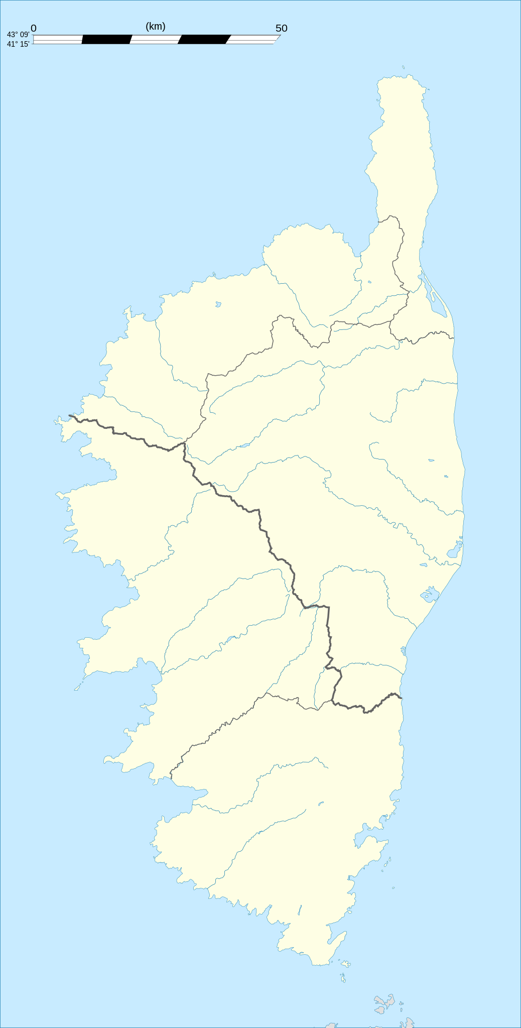
English: Blank administrative map of the region of Corsica, France, for geo-location purpose, with distinct boundaries for departments and arrondissements as they are since January 2010.
The former version of the map shows the boundaries as they were until December 2009. Français : Carte administrative vierge de la région Corse, France, destinée à la géolocalisation, avec limite distincte des départements et arrondissements tels que depuis janvier 2010. L'ancienne version de la carte montre le découpage administratif tel qu'il était jusqu'en décembre 2009. Equirectangular projection, WGS84 datum
Geographic limits of the map:
|
||
| 日期 | 2008-08, modified 02-2010 | ||
| 来源 |
自己的作品
|
||
| 作者 | Eric Gaba (Sting - fr:Sting) | ||
| 授权 (二次使用本文件) |
|
||
| 其他版本 |
|

许可协议
我,本作品著作权人,特此采用以下许可协议发表本作品:
本文件采用知识共享署名-相同方式共享 3.0 未本地化版本许可协议授权。
- 您可以自由地:
- 共享 – 复制、发行并传播本作品
- 修改 – 改编作品
- 惟须遵守下列条件:
- 署名 – 您必须对作品进行署名,提供授权条款的链接,并说明是否对原始内容进行了更改。您可以用任何合理的方式来署名,但不得以任何方式表明许可人认可您或您的使用。
- 相同方式共享 – 如果您再混合、转换或者基于本作品进行创作,您必须以与原先许可协议相同或相兼容的许可协议分发您贡献的作品。

|
已授权您依据自由软件基金会发行的无固定段落及封面封底文字(Invariant Sections, Front-Cover Texts, and Back-Cover Texts)的GNU自由文件许可协议1.2版或任意后续版本的条款,复制、传播和/或修改本文件。该协议的副本请见“GNU Free Documentation License”。 |
您可以选择您需要的许可协议。
文件历史
点击某个日期/时间查看对应时刻的文件。
| 日期/时间 | 缩略图 | 大小 | 用户 | 备注 | |
|---|---|---|---|---|---|
| 当前 | 2015年9月27日 (日) 21:21 | | 824 × 1,625(191 KB) | Iowajason | Edited SVG language to remove two local file path references. These SVG attributes were flagged by other wikis as insecure when trans-wiki'd. No change to substantive content. Submitted as a minor edit, with all licenses to reflect those of the prior v... |
| 2010年2月22日 (一) 19:29 |  | 824 × 1,625(191 KB) | Sting | Updated arrondissements boundaries of Haute-Corse | |
| 2008年8月14日 (四) 19:52 |  | 824 × 1,625(209 KB) | Sting | == Summary == {{Location|42|12|00|N|09|03|00|E|scale:2000000}} <br/> {{Information |Description={{en|Blank administrative map of the region of Corsica, France, for geo-location purpose, with distinct boundaries for departments and arrondis |
文件用途
超过100个页面使用本文件。 下面的列表只显示使用本文件的前100个页面。完整列表可用。
- 准卡焦
- 切尔维奥内
- 利勒鲁斯
- 加维尼亚诺 (上科西嘉省)
- 加莱里亚
- 博科尼亚诺
- 卡伦扎纳
- 卡尔热斯
- 卡尼亚诺
- 卡拉庫恰
- 卡斯泰洛-迪罗斯蒂诺
- 卡斯蒂尔拉
- 卡斯蒂福
- 卡纳里 (上科西嘉省)
- 卡萨尔塔
- 卡萨诺瓦 (上科西嘉省)
- 卢米奥
- 吉泰拉莱班
- 吉索尼
- 吉索纳恰
- 圣弗洛朗
- 埃尔萨
- 埃维萨
- 埃罗讷
- 基亚特拉
- 基萨
- 塞尔马诺
- 塞拉迪費羅
- 夸斯夸拉
- 奥基亚塔纳
- 奥塔 (南科西嘉省)
- 奥尔托
- 奥尔米-卡佩拉
- 奥尔莫 (上科西嘉省)
- 奥莱塔 (上科西嘉省)
- 富里亚尼
- 巴斯泰利卡恰
- 巴雷塔利
- 帕爾內卡
- 帕特里莫尼奥
- 库托利-科尔蒂基亚托
- 彭塔迪卡辛卡
- 彼得拉尔巴
- 彼得拉科巴拉
- 彼得罗索
- 托米诺
- 拉波尔塔
- 拉诺 (上科西嘉省)
- 拉马 (上科西嘉省)
- 文佐拉斯卡
- 斯佩隆卡托
- 昆扎
- 普罗普里亚诺
- 格罗塞托-普鲁尼亚
- 欧莱讷
- 比古利亚
- 比戈尔诺
- 比辛基
- 法瓦莱洛
- 瓦利卡
- 皮亚内洛
- 皮亚纳
- 皮亚诺 (上科西嘉省)
- 皮奥焦拉
- 皮奥贝塔
- 皮尼亚 (上科西嘉省)
- 皮耶沃
- 皮诺
- 科尔夏
- 科尔巴拉 (上科西嘉省)
- 科扎諾
- 科斯塔 (上科西嘉省)
- 科蒂-基亚瓦里
- 索尔博-奥卡尼亚诺
- 索拉罗 (上科西嘉省)
- 索里奥
- 维瓦里奥
- 罗利亚诺 (上科西嘉省)
- 莫伊塔 (上科西嘉省)
- 莫尔蒂福
- 莫罗萨利亚
- 莱奇
- 菲加里
- 萨罗拉-卡尔科皮诺
- 萨里-索伦扎拉
- 萨里多尔奇诺
- 蓬泰莱恰
- 贝尔戈代尔
- 费利切托
- 锡斯科 (上科西嘉省)
- 阿尔贝塔切
- 阿拉塔
- 阿斯科 (上科西嘉省)
- 阿法
- 阿萊里亞
- 阿雅克肖
- 阿雅克肖拿破仑·波拿巴机场
- 韦尔代斯
- 韦斯科瓦托 (上科西嘉省)
- 马特拉 (上科西嘉省)
查看连接到这个文件的更多链接。
全域文件用途
以下其他wiki使用此文件:
- als.wikipedia.org上的用途
- ar.wikipedia.org上的用途
- ast.wikipedia.org上的用途
- azb.wikipedia.org上的用途
- bg.wikipedia.org上的用途
- bn.wikipedia.org上的用途
- bs.wikipedia.org上的用途
- ca.wikipedia.org上的用途
- ceb.wikipedia.org上的用途
- cs.wikipedia.org上的用途
- da.wikipedia.org上的用途
- de.wikipedia.org上的用途
- Alistro
- Filitosa
- Porto (Korsika)
- L’Ospédale
- Castellu di Cucuruzzu
- Torre von Ceccia
- Vorlage:Positionskarte Frankreich Korsika
- Wikipedia:Kartenwerkstatt/Positionskarten/Europa
- Monument von Alo-Bisucce
- Vorlage Diskussion:Infobox Gemeinde in Frankreich/Archiv/2008
- Torre von Tappa
- Torre von Torre
- Ponte Novu
- de.wikivoyage.org上的用途
- dsb.wikipedia.org上的用途
- el.wikipedia.org上的用途
- en.wikipedia.org上的用途
查看本文件的更多全域用途。