File:Fort de Joux 02.jpg

本预览的尺寸:800 × 532像素。 其他分辨率:320 × 213像素 | 640 × 425像素 | 1,024 × 681像素 | 1,280 × 851像素 | 2,193 × 1,458像素。
原始文件 (2,193 × 1,458像素,文件大小:1.21 MB,MIME类型:image/jpeg)
摘要
|
This building is indexed in the base Mérimée, a database of architectural heritage maintained by the French Ministry of Culture, under the reference PA00101629
|
| 描述 |
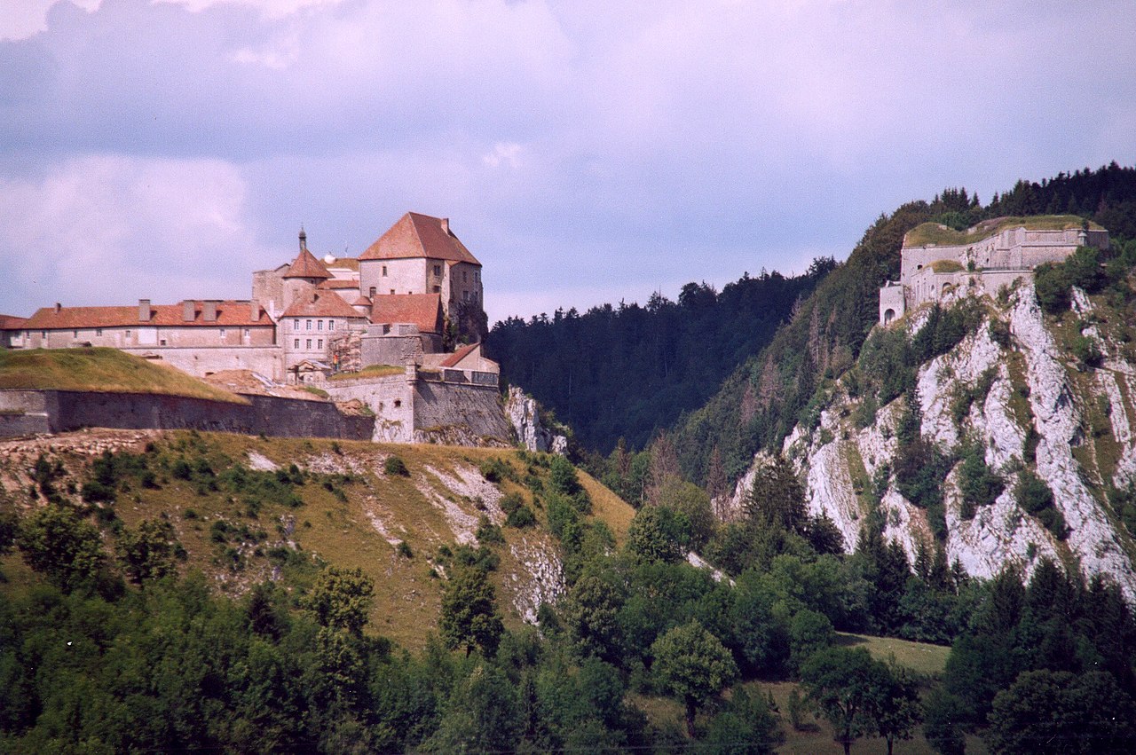
Fort de Joux Doubs France Photographie prise par Patrick GIRAUD 许可协议fr:Category:Fort de Joux |
| 日期 | 2005年11月11日 (原始上传日期) |
| 来源 | 本檔案是從fr.wikipedia轉移到維基共享資源。 |
| 作者 | 原上传者为法语维基百科的Calips |
| 物体位置 | | 在以下服务上查看本图像和附近其他图像: OpenStreetMap |
|---|
许可协议
本文件采用知识共享署名-相同方式共享 1.0 通用许可协议授权。
- 您可以自由地:
- 共享 – 复制、发行并传播本作品
- 修改 – 改编作品
- 惟须遵守下列条件:
- 署名 – 您必须对作品进行署名,提供授权条款的链接,并说明是否对原始内容进行了更改。您可以用任何合理的方式来署名,但不得以任何方式表明许可人认可您或您的使用。
- 相同方式共享 – If you alter, transform, or build upon this work, you must distribute the resulting work under the same license as the original.
原始上传日志
原始描述頁面位於這裡。下列使用者名稱均來自fr.wikipedia。
- 2005-11-11 18:03 Calips 2193×1458×8 (1265640 bytes) Fort de Joux Doubs France Photographie prise par Patrick GIRAUD
文件历史
点击某个日期/时间查看对应时刻的文件。
| 日期/时间 | 缩略图 | 大小 | 用户 | 备注 | |
|---|---|---|---|---|---|
| 当前 | 2007年8月25日 (六) 16:29 | | 2,193 × 1,458(1.21 MB) | Christophe cagé | {{Information |Description=Fort de Joux Doubs France Photographie prise par Patrick GIRAUD == Licence == fr:Category:Fort de Joux |Source=Originally from [http://fr.wikipedia.org fr.wikipedia]; description page is/was [http://fr.wikipedia.org/w/ind |
文件用途
以下页面使用本文件:
全域文件用途
以下其他wiki使用此文件:
- arz.wikipedia.org上的用途
- cs.wikipedia.org上的用途
- de.wikipedia.org上的用途
- en.wikipedia.org上的用途
- es.wikipedia.org上的用途
- eu.wikipedia.org上的用途
- fr.wikipedia.org上的用途
- Massif du Jura
- Honoré-Gabriel Riqueti de Mirabeau
- Fort de Joux
- Utilisateur:Calips
- Portail:Doubs
- Portail:Doubs/Patrimoine du Doubs
- Liste des monuments historiques du Doubs
- Utilisateur:Sacamol/brouillon chateau
- Liste des châteaux du Doubs
- Projet:Monuments historiques/Wikidata/liste/25
- Liste des sites retenus pour le loto du patrimoine en 2020
- hu.wikipedia.org上的用途
- it.wikipedia.org上的用途
- ja.wikipedia.org上的用途
- kk.wikipedia.org上的用途
- nl.wikipedia.org上的用途
- no.wikipedia.org上的用途
- ru.wikipedia.org上的用途
- www.wikidata.org上的用途