File:FukuokaMapCurrent.png
本预览的尺寸:719 × 599像素。 其他分辨率:288 × 240像素 | 576 × 480像素 | 922 × 768像素 | 1,081 × 901像素。
原始文件 (1,081 × 901像素,文件大小:42 KB,MIME类型:image/png)
摘要
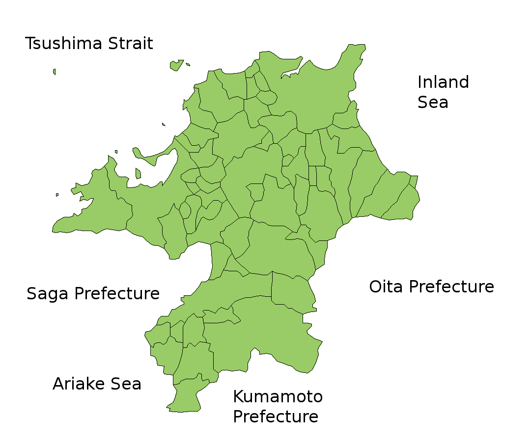
Map of Fukuoka Prefecture, Japan.
Thanks to Aoki Shigenobu and [1]. Colors from Image:TokyoMapCurrent.png by User:Fg2.
许可协议

|
作为本作品的著作权持有者,Shigenobu AOKI允许任何人以任何目的使用该作品,包括无限制的再分发、商业性使用和修改内容。
|
文件历史
点击某个日期/时间查看对应时刻的文件。
| 日期/时间 | 缩略图 | 大小 | 用户 | 备注 | |
|---|---|---|---|---|---|
| 当前 | 2010年2月5日 (五) 13:51 | | 1,081 × 901(42 KB) | Alberth2 | Kurogi Town, Tachibana Town, Hoshino Village, and Yabe Village were merged into Yame City. |
| 2010年1月16日 (六) 08:10 |  | 1,081 × 901(42 KB) | Alberth2 | Maebaru city, Shima town and Nijo town were merged to Itoshima City. | |
| 2009年5月12日 (二) 03:13 |  | 1,081 × 901(42 KB) | Alberth2 | New map | |
| 2006年7月23日 (日) 23:56 |  | 1,081 × 901(41 KB) | Akanemoto~commonswiki | ||
| 2006年7月22日 (六) 15:46 |  | 1,081 × 801(40 KB) | Akanemoto~commonswiki | ||
| 2006年7月22日 (六) 01:59 |  | 1,081 × 801(40 KB) | Akanemoto~commonswiki | ||
| 2006年7月21日 (五) 21:19 |  | 1,081 × 801(41 KB) | Akanemoto~commonswiki | Map of Fukuoka Prefecture, Japan. Thanks to Aoki Shigenobu and [http://aoki2.si.gunma-u.ac.jp/map/map.html]. Colors from Image:TokyoMapCurrent.png by User:Fg2. Category:Maps of Fukuoka prefecture Category:Maps in English |
文件用途
没有页面链接到本图像。
全域文件用途
以下其他wiki使用此文件:
- az.wikipedia.org上的用途
- ckb.wikipedia.org上的用途
- cs.wikipedia.org上的用途
- eu.wikipedia.org上的用途
- fa.wikipedia.org上的用途
- incubator.wikimedia.org上的用途
- lt.wikipedia.org上的用途
- ms.wikipedia.org上的用途
- no.wikipedia.org上的用途
- pam.wikipedia.org上的用途
- pt.wikipedia.org上的用途
- ru.wikipedia.org上的用途
- sah.wikipedia.org上的用途
- sco.wikipedia.org上的用途
- su.wikipedia.org上的用途