File:Gauleptolemee1541.jpg

本预览的尺寸:791 × 600像素。 其他分辨率:317 × 240像素 | 633 × 480像素 | 1,013 × 768像素 | 1,280 × 970像素 | 1,612 × 1,222像素。
原始文件 (1,612 × 1,222像素,文件大小:261 KB,MIME类型:image/jpeg)
摘要
| 艺术家 | |
| 作者 |
Ptolemy, translated by Willibald Pirckheimer |
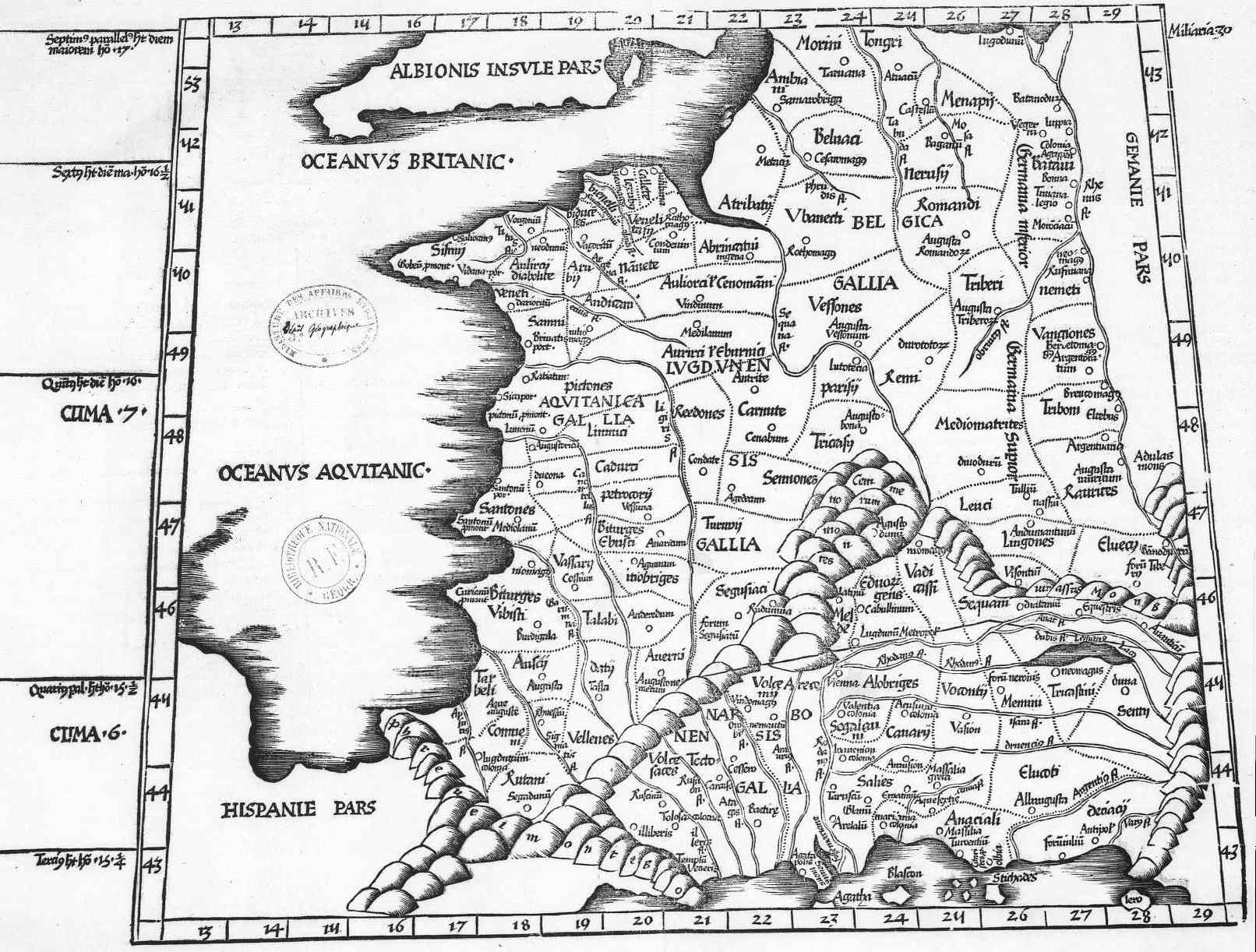
| 描述 |
English: The 3rd European Map (Tertia Europae Tabula) of Laurent Fries from a 1541 reprint of his 1522 maps for Ptolemy's Geography.
Français : Carte de 1541 représentant la Gaule au temps de Ptolémée |
| 日期 | 1541年 |
| 来源/摄影师 | http://www.orpaillage.fr/histoire/gauleptolemee1541.jpg |
许可协议
|
本作品在其来源国以及其他著作权期限是作者逝世后100年或以下的国家和地区属于公有领域。 | |
| 本文件已被确认为免除已知的著作权法限制(包括所有相关权利)。 | |
文件历史
点击某个日期/时间查看对应时刻的文件。
| 日期/时间 | 缩略图 | 大小 | 用户 | 备注 | |
|---|---|---|---|---|---|
| 当前 | 2008年4月5日 (六) 20:05 | | 1,612 × 1,222(261 KB) | Thesupermat | {{Information |Description=Carte de 1541 représentant la Gaule au temps de Ptolémée |Source=http://www.orpaillage.fr/histoire/gauleptolemee1541.jpg |Date=1541 |Author=unknow |Permission= |other_versions= }} Category:Maps of Roman Gaul |
文件用途
以下页面使用本文件:
全域文件用途
以下其他wiki使用此文件:
- en.wikipedia.org上的用途
- fr.wikipedia.org上的用途