File:Gulf of Thailand.svg

此SVG文件的PNG预览的大小:488 × 479像素。 其他分辨率:245 × 240像素 | 489 × 480像素 | 782 × 768像素 | 1,043 × 1,024像素 | 2,086 × 2,048像素。
原始文件 (SVG文件,尺寸为488 × 479像素,文件大小:387 KB)
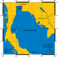
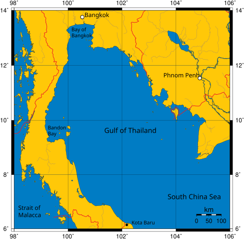
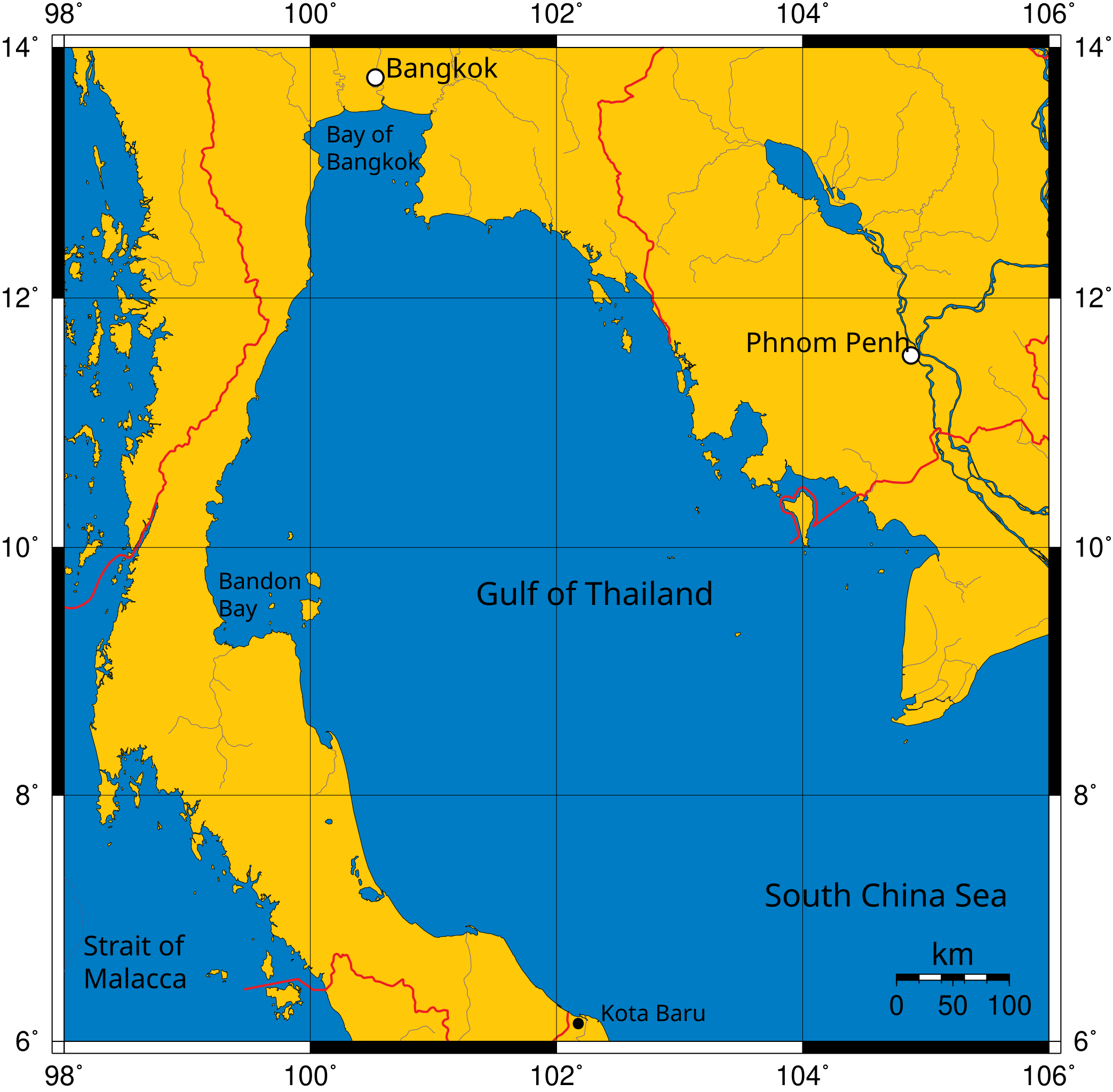
Mercator projection of Gulf of Thailand.
Public Domain map created by Online Map Creation:
http://www.aquarius.geomar.de/omc/omc_intro.html archive copy at the Wayback Machine
Modified by me (User:Feydey).
Other versions
-
 Italiano
 -
 Македонски
 -
 বাংলা
বাংলা


| 本作品已被作者User:Feydey释出到公有领域。这适用于全世界。 在一些国家这可能不合法;如果是这样的话,那么: User:Feydey无条件地授予任何人以任何目的使用本作品的权利,除非这些条件是法律规定所必需的。
|
derivative works
此文件衍生的作品:
文件历史
点击某个日期/时间查看对应时刻的文件。
| 日期/时间 | 缩略图 | 大小 | 用户 | 备注 | |
|---|---|---|---|---|---|
| 当前 | 2020年1月16日 (四) 11:06 | | 488 × 479(387 KB) | Paul 012 | The label "Andaman Sea" was in the area officially defined as the Strait of Malacca. |
| 2007年6月27日 (三) 17:53 |  | 488 × 479(387 KB) | Feydey | Mercator projection of Gulf of Thailand. Public Domain map created by Online Map Creation: http://www.aquarius.geomar.de/omc/omc_intro.html Modified by me (User:Feydey). {{PD}} Category:Maps of seas |
文件用途
以下页面使用本文件:
全域文件用途
以下其他wiki使用此文件:
- af.wikipedia.org上的用途
- azb.wikipedia.org上的用途
- br.wikipedia.org上的用途
- ca.wikipedia.org上的用途
- ckb.wikipedia.org上的用途
- da.wikipedia.org上的用途
- de.wikinews.org上的用途
- el.wikipedia.org上的用途
- en.wikipedia.org上的用途
- fa.wikipedia.org上的用途
- fi.wikipedia.org上的用途
- fr.wikipedia.org上的用途
- hi.wikipedia.org上的用途
- hu.wikipedia.org上的用途
- ilo.wikipedia.org上的用途
- io.wikipedia.org上的用途
- ja.wikipedia.org上的用途
- ka.wikipedia.org上的用途
- km.wikipedia.org上的用途
- ko.wikipedia.org上的用途
- la.wikipedia.org上的用途
- lo.wikipedia.org上的用途
- min.wikipedia.org上的用途
- ml.wikipedia.org上的用途
- mr.wikipedia.org上的用途
- ms.wikipedia.org上的用途
- mt.wikipedia.org上的用途
- my.wikipedia.org上的用途
- nn.wikipedia.org上的用途
- pa.wikipedia.org上的用途
- pnb.wikipedia.org上的用途
- simple.wikipedia.org上的用途
- sr.wikipedia.org上的用途
- sv.wikipedia.org上的用途
- sw.wikipedia.org上的用途
- ta.wikipedia.org上的用途
- th.wikipedia.org上的用途
- tl.wikipedia.org上的用途
- tr.wikipedia.org上的用途
- uk.wikipedia.org上的用途
- ur.wikipedia.org上的用途
- vi.wikipedia.org上的用途
- war.wikipedia.org上的用途
查看本文件的更多全域用途。